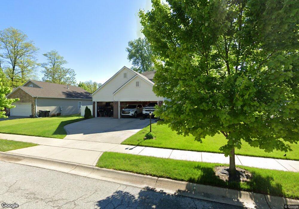
1905 W Boardwalk Cir Portage, IN 46368
Estimated Value: $343,000 - $374,000
4
Beds
3
Baths
2,001
Sq Ft
$179/Sq Ft
Est. Value
About This Home
This home is located at 1905 W Boardwalk Cir, Portage, IN 46368 and is currently estimated at $358,868, approximately $179 per square foot. 1905 W Boardwalk Cir is a home located in Porter County with nearby schools including Crisman Elementary School, Willowcreek Middle School, and Portage High School.
Ownership History
Date
Name
Owned For
Owner Type
Purchase Details
Closed on
May 31, 2012
Sold by
Olthof Homes Porter County Llc
Bought by
Powers William S
Current Estimated Value
Home Financials for this Owner
Home Financials are based on the most recent Mortgage that was taken out on this home.
Original Mortgage
$184,473
Outstanding Balance
$127,365
Interest Rate
3.75%
Mortgage Type
FHA
Estimated Equity
$231,503
Purchase Details
Closed on
May 11, 2011
Sold by
Signature Properties Incorporated
Bought by
Olthof Homes Porter County Llc
Create a Home Valuation Report for This Property
The Home Valuation Report is an in-depth analysis detailing your home's value as well as a comparison with similar homes in the area
Home Values in the Area
Average Home Value in this Area
Purchase History
| Date | Buyer | Sale Price | Title Company |
|---|---|---|---|
| Powers William S | -- | Multiple | |
| Olthof Homes Porter County Llc | $318,000 | None Available |
Source: Public Records
Mortgage History
| Date | Status | Borrower | Loan Amount |
|---|---|---|---|
| Open | Powers William S | $184,473 |
Source: Public Records
Tax History Compared to Growth
Tax History
| Year | Tax Paid | Tax Assessment Tax Assessment Total Assessment is a certain percentage of the fair market value that is determined by local assessors to be the total taxable value of land and additions on the property. | Land | Improvement |
|---|---|---|---|---|
| 2024 | $2,995 | $289,900 | $30,600 | $259,300 |
| 2023 | $2,715 | $285,300 | $29,100 | $256,200 |
| 2022 | $2,695 | $263,500 | $29,100 | $234,400 |
| 2021 | $2,540 | $246,200 | $29,100 | $217,100 |
| 2020 | $2,450 | $235,900 | $25,400 | $210,500 |
| 2019 | $2,483 | $238,400 | $25,400 | $213,000 |
| 2018 | $2,491 | $237,100 | $25,400 | $211,700 |
| 2017 | $2,096 | $207,600 | $25,400 | $182,200 |
| 2016 | $2,157 | $213,700 | $25,300 | $188,400 |
| 2014 | $2,073 | $205,300 | $24,100 | $181,200 |
| 2013 | -- | $195,100 | $24,700 | $170,400 |
Source: Public Records
Map
Nearby Homes
- 0 Northwood Trail Unit NRA811704
- 0 Us Hwy 20 Unit 502405
- 1902 Driftwood St
- 6281 Old Porter Rd
- 1980 Crisman Rd
- 6490 Old Porter Rd
- 6540 Monument Ave
- 2183 Foley St
- 2230 Foley St
- 2182 Foley St
- 2086 Bluebird Ct
- 0 Central Ave Unit NRA826855
- 0 Melton Rd Unit NRA811705
- 0 Airport Us 6 Unit NRA806028
- 6698 Monument Ave
- 1766 Samuelson Rd
- 2191 Hamilton St
- 1935 Samuelson Rd
- 6208 Lakewood Ave
- 6192 Lakewood Ave
- 1915 W Boardwalk Cir
- 1895 Boardwalk Cir
- 1915 Boardwalk Cir
- 1906 Boardwalk Cir
- 1916 Boardwalk Cir
- 1896 Boardwalk Cir
- 1925 Boardwalk Cir
- 1914 Boardwalk Cir
- 1876 Boardwalk Cir
- 1904 Boardwalk Cir
- 1892 Boardwalk Cir
- 1926 Boardwalk Cir
- 1886 Boardwalk Cir
- 1924 Boardwalk Cir
- 1935 Boardwalk Cir
- 1936 Boardwalk Cir
- 1934 Boardwalk Cir
- 1907 Boardwalk Cir
- 1917 Boardwalk Cir
- 1927 Boardwalk E