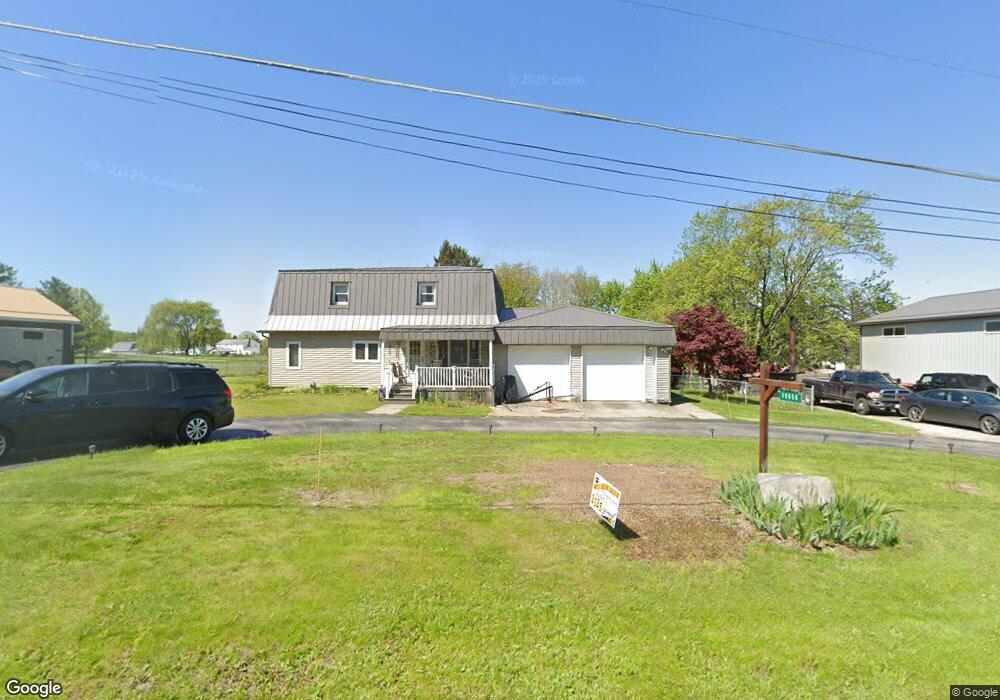
19056 Nelson Parkman Rd Garrettsville, OH 44231
Estimated Value: $227,914 - $334,000
3
Beds
1
Bath
2,088
Sq Ft
$136/Sq Ft
Est. Value
About This Home
This home is located at 19056 Nelson Parkman Rd, Garrettsville, OH 44231 and is currently estimated at $284,979, approximately $136 per square foot. 19056 Nelson Parkman Rd is a home located in Geauga County with nearby schools including Jordak Elementary School, Cardinal Middle School, and Cardinal High School.
Ownership History
Date
Name
Owned For
Owner Type
Purchase Details
Closed on
May 17, 2018
Sold by
Thompson John E and Thompson Barbara T
Bought by
Thompson John E and Thompson Barbara T
Current Estimated Value
Purchase Details
Closed on
Mar 6, 2018
Sold by
Thompson John E and Thompson Barbara T
Bought by
Thompson John E and Thompson Barbara T
Purchase Details
Closed on
Jan 1, 1990
Bought by
Thompson John E and Thompson Barbara T
Create a Home Valuation Report for This Property
The Home Valuation Report is an in-depth analysis detailing your home's value as well as a comparison with similar homes in the area
Home Values in the Area
Average Home Value in this Area
Purchase History
| Date | Buyer | Sale Price | Title Company |
|---|---|---|---|
| Thompson John E | -- | None Available | |
| Thompson John E | $500 | None Available | |
| Thompson John E | -- | None Available | |
| Thompson John E | -- | -- |
Source: Public Records
Tax History Compared to Growth
Tax History
| Year | Tax Paid | Tax Assessment Tax Assessment Total Assessment is a certain percentage of the fair market value that is determined by local assessors to be the total taxable value of land and additions on the property. | Land | Improvement |
|---|---|---|---|---|
| 2024 | $2,163 | $57,270 | $7,180 | $50,090 |
| 2023 | $2,163 | $57,270 | $7,180 | $50,090 |
| 2022 | $1,553 | $33,430 | $5,990 | $27,440 |
| 2021 | $1,549 | $33,430 | $5,990 | $27,440 |
| 2020 | $1,599 | $33,430 | $5,990 | $27,440 |
| 2019 | $1,474 | $28,490 | $4,830 | $23,660 |
| 2018 | $1,474 | $28,490 | $4,830 | $23,660 |
| 2017 | $1,474 | $28,490 | $4,830 | $23,660 |
| 2016 | $1,475 | $32,240 | $4,830 | $27,410 |
| 2015 | $1,335 | $32,240 | $4,830 | $27,410 |
| 2014 | $1,335 | $32,240 | $4,830 | $27,410 |
| 2013 | $1,346 | $32,240 | $4,830 | $27,410 |
Source: Public Records
Map
Nearby Homes
- 16790 Main Market Rd
- 16663 Main Market Rd
- 16659 Main Market Rd
- 12947 Brosius Rd
- 18386 Mills Rd
- 16169 Mccall Rd
- 12977 Main Market Rd
- 12954 State Route 88
- 12707 Brosius Rd
- 12525 Brosius Rd
- Parcel C Nash Rd
- 0 Nash Rd Unit 5142384
- 7991 Norton Rd
- 12157 State Route 88
- 16990 Nash Rd
- 17050 Nash Rd
- 0 Mumford Rd Unit 5136681
- 0 Mumford Rd Unit 5136651
- 11769 Mills Rd Unit 1
- 0 Parkman Unit 5040066
- 19068 Nelson Parkman Rd
- 19065 Nelson Parkman Rd
- 19084 Nelson Parkman Rd
- 19071 Nelson Parkman Rd
- 19009 Nelson Parkman Rd
- 19098 Nelson Parkman Rd
- 19075 Rutland Rd
- 19133 Nelson Parkman Rd
- 19116 Nelson Parkman Rd
- 19109 Rutland Rd
- 18965 Rutland Rd
- 19125 Rutland Rd
- 18960 Nelson Parkman Rd
- 19146 Nelson Parkman Rd
- 18941 Nelson Parkman Rd
- 19162 Nelson Parkman Rd
- 19151 Nelson Rd
- 18925 Nelson Parkman Rd
- 19173 Rutland Rd
- 18950 Rutland Rd