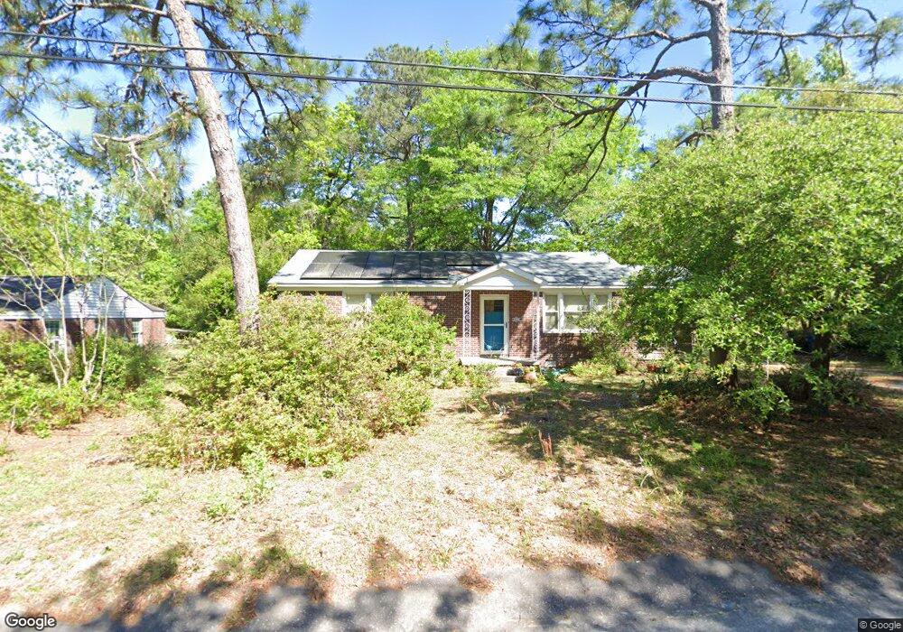
1906 Ann St West Columbia, SC 29169
Estimated Value: $153,000 - $176,000
2
Beds
1
Bath
1,193
Sq Ft
$140/Sq Ft
Est. Value
About This Home
This home is located at 1906 Ann St, West Columbia, SC 29169 and is currently estimated at $166,804, approximately $139 per square foot. 1906 Ann St is a home located in Lexington County with nearby schools including Riverbank Elementary, Northside Middle, and Brookland-Cayce High School.
Ownership History
Date
Name
Owned For
Owner Type
Purchase Details
Closed on
May 26, 2006
Sold by
Mccarty Alfred Lewis and Lewis Mccarty A
Bought by
Lauzon Peter A
Current Estimated Value
Home Financials for this Owner
Home Financials are based on the most recent Mortgage that was taken out on this home.
Original Mortgage
$115,500
Outstanding Balance
$67,409
Interest Rate
6.44%
Mortgage Type
New Conventional
Estimated Equity
$99,395
Purchase Details
Closed on
Apr 29, 2005
Sold by
Mccarty Alfred Lewis
Bought by
Mccarty Alfred Lewis
Create a Home Valuation Report for This Property
The Home Valuation Report is an in-depth analysis detailing your home's value as well as a comparison with similar homes in the area
Home Values in the Area
Average Home Value in this Area
Purchase History
| Date | Buyer | Sale Price | Title Company |
|---|---|---|---|
| Lauzon Peter A | $115,500 | None Available | |
| Mccarty Alfred Lewis | -- | -- |
Source: Public Records
Mortgage History
| Date | Status | Borrower | Loan Amount |
|---|---|---|---|
| Open | Lauzon Peter A | $115,500 |
Source: Public Records
Tax History Compared to Growth
Tax History
| Year | Tax Paid | Tax Assessment Tax Assessment Total Assessment is a certain percentage of the fair market value that is determined by local assessors to be the total taxable value of land and additions on the property. | Land | Improvement |
|---|---|---|---|---|
| 2024 | $598 | $3,130 | $1,076 | $2,054 |
| 2023 | $598 | $3,130 | $1,076 | $2,054 |
| 2022 | $604 | $3,130 | $1,076 | $2,054 |
| 2020 | $580 | $3,130 | $1,076 | $2,054 |
| 2019 | $527 | $2,790 | $1,008 | $1,782 |
| 2018 | $533 | $2,790 | $1,008 | $1,782 |
| 2017 | $511 | $2,790 | $1,008 | $1,782 |
| 2016 | $526 | $2,788 | $1,008 | $1,780 |
| 2014 | $396 | $2,755 | $1,008 | $1,747 |
| 2013 | -- | $2,760 | $1,010 | $1,750 |
Source: Public Records
Map
Nearby Homes
- 2004 Dew Ave
- 165 Cavendish Dr
- 106 Earl Ct
- 1615 Holland St
- 617 Holland Cir
- 415 Graham St
- 207 Woodhaven Dr
- 215 Sandel Ln
- 1734 C Ave
- 0 Platt Springs Rd Unit 606355
- 1628 C Ave
- 1513 Gambrell St
- 623 Hook Ave
- 324 N Parson St
- 212 Alexandria St
- 1802 D Ave
- 1452 C Ave
- 1344 Gilmore St
- 1235 Jensen St
- 638 Carrington Dr
- 1910 Ann St
- 200 Pineview Rd
- 1912 Ann St
- 219 Greenwood Rd
- 217 Greenwood Rd
- 1919 Holland St
- 1909 Ann St
- 196 Pineview Rd
- 221 Greenwood Rd
- 1925 Holland St
- 215 Greenwood Rd
- 197 Pineview Rd
- 1907 Holland St
- 194 Pineview Rd
- 1903 Holland St
- 193 Pineview Rd
- 190 Pineview Rd
- 228 Greenwood Rd
- 211 Greenwood Rd
- 220 Greenwood Rd