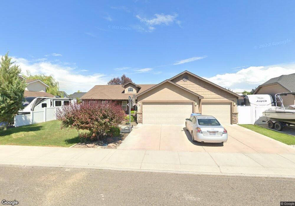
1906 Canyon Trail Way Twin Falls, ID 83301
Estimated Value: $406,000 - $448,000
3
Beds
2
Baths
1,782
Sq Ft
$240/Sq Ft
Est. Value
About This Home
This home is located at 1906 Canyon Trail Way, Twin Falls, ID 83301 and is currently estimated at $427,233, approximately $239 per square foot. 1906 Canyon Trail Way is a home located in Twin Falls County with nearby schools including Rock Creek Elementary School, Robert Stuart Junior High School, and Canyon Ridge High School.
Ownership History
Date
Name
Owned For
Owner Type
Purchase Details
Closed on
Aug 1, 2025
Sold by
Buist Jody and Sargent Marilyn Kline
Bought by
Buist Jody and Buist Hunter J
Current Estimated Value
Purchase Details
Closed on
Jun 14, 2022
Sold by
Buist and Angie
Bought by
Buist Jody and Kline Sargent Marilyn
Home Financials for this Owner
Home Financials are based on the most recent Mortgage that was taken out on this home.
Original Mortgage
$303,000
Interest Rate
5.3%
Mortgage Type
New Conventional
Purchase Details
Closed on
Dec 3, 2008
Sold by
Sirva Relocation Credit Llc
Bought by
Buist Jody and Buist Angie
Home Financials for this Owner
Home Financials are based on the most recent Mortgage that was taken out on this home.
Original Mortgage
$207,580
Interest Rate
6.04%
Mortgage Type
New Conventional
Purchase Details
Closed on
Mar 4, 2008
Sold by
J D Lumber Inc
Bought by
Louisville And Jefferson County Landbank
Create a Home Valuation Report for This Property
The Home Valuation Report is an in-depth analysis detailing your home's value as well as a comparison with similar homes in the area
Home Values in the Area
Average Home Value in this Area
Purchase History
| Date | Buyer | Sale Price | Title Company |
|---|---|---|---|
| Buist Jody | -- | None Listed On Document | |
| Buist Jody | -- | Title One | |
| Buist Jody | -- | Twin Falls Title | |
| Louisville And Jefferson County Landbank | -- | None Available |
Source: Public Records
Mortgage History
| Date | Status | Borrower | Loan Amount |
|---|---|---|---|
| Previous Owner | Buist Jody | $303,000 | |
| Previous Owner | Buist Jody | $207,580 |
Source: Public Records
Tax History Compared to Growth
Tax History
| Year | Tax Paid | Tax Assessment Tax Assessment Total Assessment is a certain percentage of the fair market value that is determined by local assessors to be the total taxable value of land and additions on the property. | Land | Improvement |
|---|---|---|---|---|
| 2025 | $2,160 | $351,570 | $63,797 | $287,773 |
| 2024 | $2,174 | $355,170 | $63,797 | $291,373 |
| 2023 | $2,051 | $373,153 | $63,797 | $309,356 |
| 2022 | $2,947 | $382,378 | $63,923 | $318,455 |
| 2021 | $2,544 | $293,989 | $58,768 | $235,221 |
| 2020 | $2,542 | $266,647 | $63,923 | $202,724 |
| 2019 | $2,674 | $249,697 | $54,197 | $195,500 |
| 2018 | $2,669 | $241,293 | $42,097 | $199,196 |
| 2017 | $2,265 | $220,818 | $42,097 | $178,721 |
| 2016 | $1,981 | $193,581 | $0 | $0 |
| 2015 | $2,028 | $193,581 | $42,097 | $151,484 |
| 2012 | -- | $171,916 | $0 | $0 |
Source: Public Records
Map
Nearby Homes
- 333 Arrowhead Path
- 323 Arrowhead Path
- 513 Falling Leaf Ln
- 434 Park View Loop
- 521 Falling Leaf Ln
- 527 Falling Leaf Ln
- 222 Avenida Del Rio Dr
- 542 Falling Leaf Ln
- 215 Los Lagos
- 548 Falling Leaf Ln
- 234 Canyon Crest Dr W
- 154 Avenida Del Rio Dr W
- 139 Los Lagos
- 635 Canyon Crest Dr W
- 2137 Settlers Ln
- 1948 Red Rock Way
- 1941 Red Rock Way
- 1953 Red Rock Way
- 2043 Prospector Way
- 1935 Hampton Way
- 1916 Canyon Trail Way
- 1884 Canyon Trail Way
- 1907 Talus Loop
- 1917 Talus Loop
- 1874 Canyon Trail Way
- 1905 Canyon Trail Way
- 1926 Canyon Trail Way
- 1853 Canyon Trail Way
- 1915 Canyon Trail Way
- 1883 Canyon Trail Way
- 1875 Talus Loop
- 1927 Talus Loop
- 1925 Canyon Trail Way
- 1873 Canyon Trail Way
- 1864 Canyon Trail Way
- 1865 Talus Loop
- 1904 Sunny Trail Way
- 1908 Talus Loop
- 1914 Sunny Trail Way
- 1918 Talus Loop