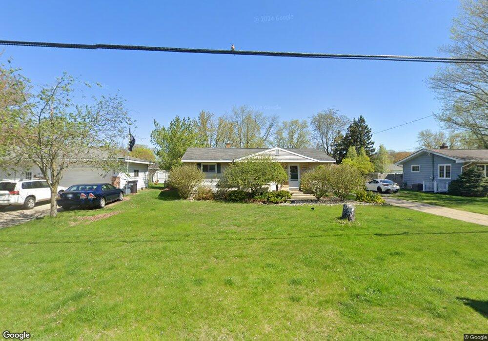
1906 Furhman Rd Norton Shores, MI 49441
Estimated Value: $214,000 - $231,000
2
Beds
2
Baths
967
Sq Ft
$230/Sq Ft
Est. Value
About This Home
This home is located at 1906 Furhman Rd, Norton Shores, MI 49441 and is currently estimated at $222,654, approximately $230 per square foot. 1906 Furhman Rd is a home located in Muskegon County with nearby schools including Mona Shores High School, Dr. Martin Luther King Academy, and St. Francis De Sales Elementary School.
Ownership History
Date
Name
Owned For
Owner Type
Purchase Details
Closed on
Oct 11, 2022
Sold by
Hagye Richard Joseph
Bought by
Hering Tyler John
Current Estimated Value
Home Financials for this Owner
Home Financials are based on the most recent Mortgage that was taken out on this home.
Original Mortgage
$120,000
Outstanding Balance
$115,459
Interest Rate
6.02%
Mortgage Type
New Conventional
Estimated Equity
$107,195
Purchase Details
Closed on
Sep 10, 2008
Sold by
Hagye Richard J and Hagye Julie J
Bought by
Hagye Michael
Home Financials for this Owner
Home Financials are based on the most recent Mortgage that was taken out on this home.
Original Mortgage
$98,697
Interest Rate
6.54%
Mortgage Type
FHA
Create a Home Valuation Report for This Property
The Home Valuation Report is an in-depth analysis detailing your home's value as well as a comparison with similar homes in the area
Home Values in the Area
Average Home Value in this Area
Purchase History
| Date | Buyer | Sale Price | Title Company |
|---|---|---|---|
| Hering Tyler John | -- | -- | |
| Hagye Michael | $100,000 | White Lake Title Agency Inc |
Source: Public Records
Mortgage History
| Date | Status | Borrower | Loan Amount |
|---|---|---|---|
| Open | Hering Tyler John | $120,000 | |
| Previous Owner | Hagye Michael | $98,697 |
Source: Public Records
Tax History Compared to Growth
Tax History
| Year | Tax Paid | Tax Assessment Tax Assessment Total Assessment is a certain percentage of the fair market value that is determined by local assessors to be the total taxable value of land and additions on the property. | Land | Improvement |
|---|---|---|---|---|
| 2025 | $2,660 | $90,700 | $0 | $0 |
| 2024 | $1,849 | $83,600 | $0 | $0 |
| 2023 | $1,368 | $74,600 | $0 | $0 |
| 2022 | $1,621 | $56,400 | $0 | $0 |
| 2021 | $1,575 | $51,700 | $0 | $0 |
| 2020 | $1,557 | $48,400 | $0 | $0 |
| 2019 | $1,529 | $44,000 | $0 | $0 |
| 2018 | $1,493 | $42,400 | $0 | $0 |
| 2017 | $1,458 | $41,300 | $0 | $0 |
| 2016 | $1,129 | $38,800 | $0 | $0 |
| 2015 | -- | $37,400 | $0 | $0 |
| 2014 | $1,355 | $37,300 | $0 | $0 |
| 2013 | -- | $35,000 | $0 | $0 |
Source: Public Records
Map
Nearby Homes
- 1936 Lawnel Ave
- 3283 Mccracken St
- 1733 Woodside Rd
- 1744 W Norton Ave
- 1752 Bonneville Dr
- 1689 Bonneville Dr
- 1582 Haverhill Rd
- 1650 Bonneville Dr
- 2263 Lawnel Ave
- 2280 Arbor Ave
- 2278 Reneer Ave
- 1480 Marlboro Rd
- 2881 Cornell Ct
- 3658 Lake Harbor Rd
- 1448 Marlboro Rd
- 2059 Garland Dr
- 2115 Garland Dr
- 1521 Cornell Rd
- 1947 Spencer Dr
- 3246 Royal Oak Rd
- 1918 Furhman Rd
- 1892 Furhman Rd
- 1905 Furhman Rd
- 1917 Furhman Rd
- 1891 Furhman Rd
- 1930 Furhman Rd
- 1905 Furhman St
- 1880 Furhman Rd
- 1891 Furhman St
- 1929 Furhman Rd
- 1930 Furhman St
- 1879 Furhman Rd
- 1899 Arbor Ave
- 1913 Arbor Ave
- 1895 Arbor Ave
- 1929 Furhman St
- 1868 Furhman Rd
- 1927 Arbor Ave
- 1867 Furhman Rd
- 1942 Furhman Rd