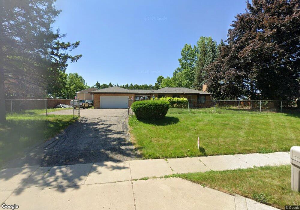
1906 Leonard St NE Grand Rapids, MI 49505
North East Citizens Action NeighborhoodEstimated Value: $324,000 - $394,000
2
Beds
2
Baths
1,185
Sq Ft
$300/Sq Ft
Est. Value
About This Home
This home is located at 1906 Leonard St NE, Grand Rapids, MI 49505 and is currently estimated at $354,962, approximately $299 per square foot. 1906 Leonard St NE is a home located in Kent County with nearby schools including Kent Hills School, Riverside Middle School, and Union High School.
Ownership History
Date
Name
Owned For
Owner Type
Purchase Details
Closed on
Dec 31, 2019
Sold by
Ogg Jeffrey Allen
Bought by
Ogg Jeffrey Allen and Brandt Ogg Christy
Current Estimated Value
Home Financials for this Owner
Home Financials are based on the most recent Mortgage that was taken out on this home.
Original Mortgage
$85,500
Outstanding Balance
$57,774
Interest Rate
3.73%
Mortgage Type
New Conventional
Estimated Equity
$297,188
Purchase Details
Closed on
Dec 22, 2009
Sold by
Smit Stanley J and Benedict Jane
Bought by
Ogg Jeffrey Allen
Home Financials for this Owner
Home Financials are based on the most recent Mortgage that was taken out on this home.
Original Mortgage
$82,468
Interest Rate
5.25%
Mortgage Type
FHA
Purchase Details
Closed on
Jun 15, 1994
Sold by
Smit Henry J
Bought by
Ogg Jeffrey Allen
Create a Home Valuation Report for This Property
The Home Valuation Report is an in-depth analysis detailing your home's value as well as a comparison with similar homes in the area
Home Values in the Area
Average Home Value in this Area
Purchase History
| Date | Buyer | Sale Price | Title Company |
|---|---|---|---|
| Ogg Jeffrey Allen | -- | Next Door Title Agency Llc | |
| Ogg Jeffrey Allen | $84,000 | Clear Stream | |
| Ogg Jeffrey Allen | -- | -- |
Source: Public Records
Mortgage History
| Date | Status | Borrower | Loan Amount |
|---|---|---|---|
| Open | Ogg Jeffrey Allen | $85,500 | |
| Closed | Ogg Jeffrey Allen | $82,468 |
Source: Public Records
Tax History Compared to Growth
Tax History
| Year | Tax Paid | Tax Assessment Tax Assessment Total Assessment is a certain percentage of the fair market value that is determined by local assessors to be the total taxable value of land and additions on the property. | Land | Improvement |
|---|---|---|---|---|
| 2025 | $3,247 | $184,800 | $0 | $0 |
| 2024 | $3,247 | $176,000 | $0 | $0 |
| 2023 | $3,294 | $158,800 | $0 | $0 |
| 2022 | $3,127 | $141,800 | $0 | $0 |
| 2021 | $3,058 | $133,700 | $0 | $0 |
| 2020 | $2,940 | $120,600 | $0 | $0 |
| 2019 | $3,079 | $111,600 | $0 | $0 |
| 2018 | $2,974 | $99,500 | $0 | $0 |
| 2017 | $2,895 | $88,100 | $0 | $0 |
| 2016 | $2,913 | $85,500 | $0 | $0 |
| 2015 | $2,600 | $85,500 | $0 | $0 |
| 2013 | -- | $79,800 | $0 | $0 |
Source: Public Records
Map
Nearby Homes
- 2098 Cranbrook Dr NE Unit 51
- 1250 Walwood Dr NE
- 1420 Worcester Dr NE
- 1261 Banbury Ave NE
- 1659 Mason St NE
- 1336 Banbury Ave NE
- 2151 Chelsea Rd NE
- 1250 Mayfield Ave NE
- 1455 Ball Ave NE
- 1539 Mason St NE
- 1535 Mason St NE
- 2353 Midvale St NE
- 2225 Watertown Way
- 2223 Watertown Way
- 2229 Watertown Way
- 2275 Watertown Way
- 2243 Watertown Way
- 2269 Watertown Way
- 1238 Carlton Ave NE
- 1518 Mayfield Ave NE
- 1919 Leonard St NE
- 1949 Leonard St NE
- 1825 Leonard St NE
- 1815 Leonard St NE
- 1829 Leonard St NE
- 1150 Plymouth Ave NE
- 1267 Perkins Ave NE
- 1805 Leonard St NE
- 1220 Plymouth Ave NE
- 1275 Perkins Ave NE
- 1222 Plymouth Ave NE
- 1224 Plymouth Ave NE
- 1228 Plymouth Ave NE
- 1289 Perkins Ave NE
- 1289 Perkins Ave NE Unit A
- 1289 Perkins Ave NE Unit B
- 1230 Plymouth Ave NE
- 2016 Cranbrook Dr NE Unit 10
- 1236 Plymouth Ave NE
- 1153 Plymouth Ave NE