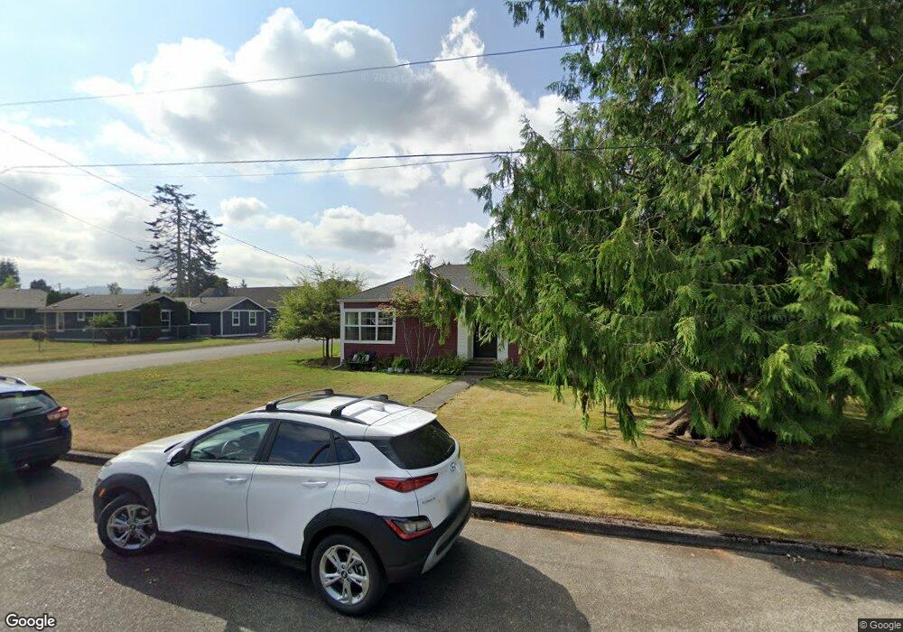
1906 Lowell Ave Enumclaw, WA 98022
Estimated Value: $483,216 - $524,000
2
Beds
1
Bath
1,210
Sq Ft
$419/Sq Ft
Est. Value
About This Home
This home is located at 1906 Lowell Ave, Enumclaw, WA 98022 and is currently estimated at $506,804, approximately $418 per square foot. 1906 Lowell Ave is a home located in King County with nearby schools including Byron Kibler Elementary School, Enumclaw Middle School, and Enumclaw Senior High School.
Ownership History
Date
Name
Owned For
Owner Type
Purchase Details
Closed on
Oct 26, 1993
Sold by
Ellig Clay R and Ellig Celeste E
Bought by
Wilson Linda M
Current Estimated Value
Home Financials for this Owner
Home Financials are based on the most recent Mortgage that was taken out on this home.
Original Mortgage
$87,350
Interest Rate
6.95%
Mortgage Type
FHA
Create a Home Valuation Report for This Property
The Home Valuation Report is an in-depth analysis detailing your home's value as well as a comparison with similar homes in the area
Home Values in the Area
Average Home Value in this Area
Purchase History
| Date | Buyer | Sale Price | Title Company |
|---|---|---|---|
| Wilson Linda M | $87,000 | Transamerica Title Insurance |
Source: Public Records
Mortgage History
| Date | Status | Borrower | Loan Amount |
|---|---|---|---|
| Closed | Wilson Linda M | $87,350 |
Source: Public Records
Tax History
| Year | Tax Paid | Tax Assessment Tax Assessment Total Assessment is a certain percentage of the fair market value that is determined by local assessors to be the total taxable value of land and additions on the property. | Land | Improvement |
|---|---|---|---|---|
| 2024 | $4,004 | $417,000 | $178,000 | $239,000 |
| 2023 | $3,721 | $358,000 | $153,000 | $205,000 |
| 2022 | $3,333 | $409,000 | $175,000 | $234,000 |
| 2021 | $2,855 | $332,000 | $151,000 | $181,000 |
| 2020 | $2,605 | $259,000 | $102,000 | $157,000 |
| 2018 | $2,453 | $234,000 | $94,000 | $140,000 |
| 2017 | $2,175 | $200,000 | $86,000 | $114,000 |
| 2016 | $2,076 | $183,000 | $79,000 | $104,000 |
| 2015 | $2,093 | $172,000 | $75,000 | $97,000 |
| 2014 | -- | $166,000 | $81,000 | $85,000 |
| 2013 | -- | $128,000 | $65,000 | $63,000 |
Source: Public Records
Map
Nearby Homes
- 1975 Wilson Ave
- 1966 Wilson Ave
- 1730 Hillcrest Ave
- 1705 Marshall Ave
- 1355 Mchugh Ave
- 0 xx 266th Ave SE
- 42801 264th Ave SE
- 1722 Harding St
- 1867 Clovercrest St
- 27008 SE & 27012 432nd St
- 1107 Griffin Ave
- 1318 Lafromboise St
- 111 Chinook Ave
- 2707 Initial Place
- 2881 Initial Ave
- 42102 264th Ave SE
- 1909 Highpoint St
- 431 Rainier Ave
- 2054 Roosevelt Ave
- 3249 Lois Ln
- 1916 Lowell Ave
- 1930 Lowell Ave
- 1830 Lowell Ave
- 1913 Wilson Ave
- 1936 Lowell Ave
- 1826 Lowell Ave
- 1818 Lowell Ave
- 1831 Wilson Ave
- 1925 Wilson Ave
- 1905 Lowell Ave
- 1946 Lowell Ave
- 1811 Wilson Ave
- 1821 Lowell Ave
- 1812 Lowell Ave
- 1812 1804 Lowell Ave
- 1804 Lowell Ave
- 1923 Lowell Ave
- 1935 Wilson Ave
- 1956 Lowell Ave
- 1805 Wilson Ave
Your Personal Tour Guide
Ask me questions while you tour the home.