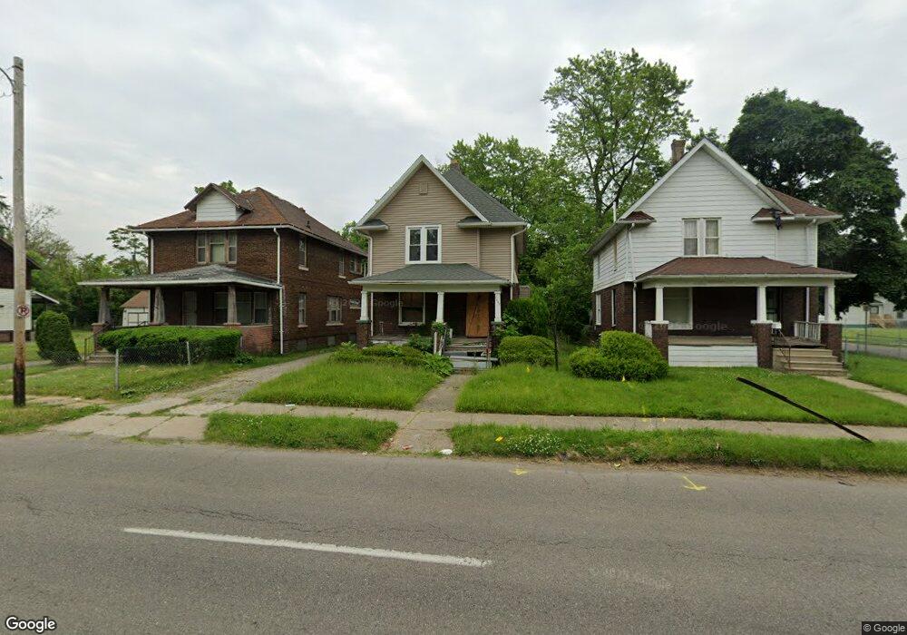
1906 M l King Ave Flint, MI 48503
King Avenue Plus NeighborhoodEstimated Value: $44,000 - $60,000
4
Beds
2
Baths
1,504
Sq Ft
$35/Sq Ft
Est. Value
About This Home
This home is located at 1906 M l King Ave, Flint, MI 48503 and is currently estimated at $52,000, approximately $34 per square foot. 1906 M l King Ave is a home located in Genesee County with nearby schools including Brownell STEM Academy, Flint Cultural Center Academy, and WAY Academy of Flint.
Ownership History
Date
Name
Owned For
Owner Type
Purchase Details
Closed on
Dec 20, 2022
Sold by
Genesee County Treasurer
Bought by
Genesee County Land Bank Authority
Current Estimated Value
Purchase Details
Closed on
Apr 26, 2022
Sold by
Michael Mayes
Bought by
County Treasurer Of The County Of Genesee
Purchase Details
Closed on
Oct 12, 2016
Sold by
The Genesee County Land Bank Authority
Bought by
Mayes Michael
Purchase Details
Closed on
Dec 17, 2015
Sold by
Genesee County
Bought by
Genesee County Land Bank
Create a Home Valuation Report for This Property
The Home Valuation Report is an in-depth analysis detailing your home's value as well as a comparison with similar homes in the area
Home Values in the Area
Average Home Value in this Area
Purchase History
| Date | Buyer | Sale Price | Title Company |
|---|---|---|---|
| Genesee County Land Bank Authority | -- | -- | |
| County Treasurer Of The County Of Genesee | -- | -- | |
| Mayes Michael | $2,500 | None Available | |
| Genesee County Land Bank | -- | None Available |
Source: Public Records
Mortgage History
| Date | Status | Borrower | Loan Amount |
|---|---|---|---|
| Closed | Mayes Michael | $0 |
Source: Public Records
Tax History
| Year | Tax Paid | Tax Assessment Tax Assessment Total Assessment is a certain percentage of the fair market value that is determined by local assessors to be the total taxable value of land and additions on the property. | Land | Improvement |
|---|---|---|---|---|
| 2025 | -- | $0 | $0 | $0 |
| 2024 | -- | $0 | $0 | $0 |
| 2023 | -- | $0 | $0 | $0 |
| 2022 | $0 | $5,600 | $0 | $0 |
| 2021 | $514 | $6,400 | $0 | $0 |
| 2020 | $561 | $6,300 | $0 | $0 |
| 2019 | $626 | $6,400 | $0 | $0 |
| 2018 | $521 | $5,400 | $0 | $0 |
| 2017 | $511 | $0 | $0 | $0 |
| 2016 | $0 | $0 | $0 | $0 |
| 2015 | -- | $0 | $0 | $0 |
| 2014 | -- | $0 | $0 | $0 |
| 2012 | -- | $5,400 | $0 | $0 |
Source: Public Records
Map
Nearby Homes
- 235 Page St
- 800 Martin Luther King Ave
- 1606 Garland St
- 2217 Francis Ave
- 429 Page St
- 341 Crosby St
- 115 W Baker St
- 1645 Seminole St
- 506 Green St
- 1303 Root St
- 218 E Jackson Ave
- 1214 Root St
- 1016 Garland St
- 1651 N Chevrolet Ave
- 1933 Concord St
- 115 E Genesee St
- 432 W Dartmouth St
- 409 W Genesee St
- 619 E Dartmouth St
- 1710 Wilberforce Cir
- 1902 M l King Ave
- 1905 Adams Ave
- 1822 M l King Ave
- 1910 M l King Ave
- 1825 Adams Ave
- 1818 M l King Ave
- 1914 M l King Ave
- 1913 Adams Ave
- 1821 Adams Ave
- 1922 M l King Ave
- 1918 M l King Ave
- 1814 M l King Ave
- 1817 Adams Ave
- 1810 M l King Ave
- 1815 Adams Ave
- 1902 Adams Ave
- 1903 M l King Ave
- 1906 Adams Ave
- 1907 M l King Ave
- 1811 M l King Ave