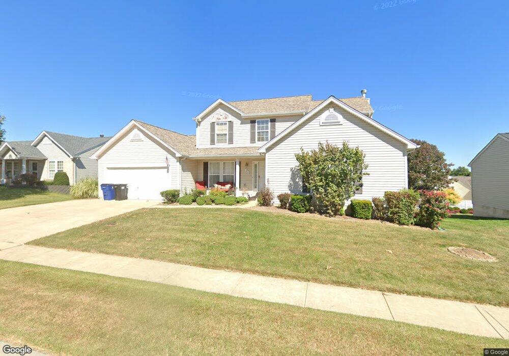
1906 Meadow Trails Dr Florissant, MO 63031
Estimated Value: $321,000 - $355,000
4
Beds
3
Baths
2,353
Sq Ft
$144/Sq Ft
Est. Value
About This Home
This home is located at 1906 Meadow Trails Dr, Florissant, MO 63031 and is currently estimated at $339,117, approximately $144 per square foot. 1906 Meadow Trails Dr is a home located in St. Louis County with nearby schools including Cold Water Elementary School, North Middle School, and Hazelwood Central High School.
Ownership History
Date
Name
Owned For
Owner Type
Purchase Details
Closed on
May 31, 2002
Sold by
Rolwes Company Inc
Bought by
Johnson Stephen T and Johnson Kimberlee L
Current Estimated Value
Home Financials for this Owner
Home Financials are based on the most recent Mortgage that was taken out on this home.
Original Mortgage
$188,731
Outstanding Balance
$79,470
Interest Rate
6.89%
Estimated Equity
$259,647
Purchase Details
Closed on
Feb 22, 2002
Sold by
L A D Properties Llc
Bought by
Rolwes Company Inc
Create a Home Valuation Report for This Property
The Home Valuation Report is an in-depth analysis detailing your home's value as well as a comparison with similar homes in the area
Home Values in the Area
Average Home Value in this Area
Purchase History
| Date | Buyer | Sale Price | Title Company |
|---|---|---|---|
| Johnson Stephen T | $198,665 | -- | |
| Rolwes Company Inc | $33,500 | -- |
Source: Public Records
Mortgage History
| Date | Status | Borrower | Loan Amount |
|---|---|---|---|
| Open | Johnson Stephen T | $188,731 |
Source: Public Records
Tax History Compared to Growth
Tax History
| Year | Tax Paid | Tax Assessment Tax Assessment Total Assessment is a certain percentage of the fair market value that is determined by local assessors to be the total taxable value of land and additions on the property. | Land | Improvement |
|---|---|---|---|---|
| 2025 | $4,658 | $57,040 | $8,840 | $48,200 |
| 2024 | $4,658 | $53,960 | $4,070 | $49,890 |
| 2023 | $4,652 | $53,960 | $4,070 | $49,890 |
| 2022 | $4,309 | $44,550 | $5,300 | $39,250 |
| 2021 | $4,247 | $44,550 | $5,300 | $39,250 |
| 2020 | $4,073 | $39,780 | $6,190 | $33,590 |
| 2019 | $4,045 | $39,780 | $6,190 | $33,590 |
| 2018 | $4,183 | $37,850 | $5,300 | $32,550 |
| 2017 | $4,178 | $37,850 | $5,300 | $32,550 |
| 2016 | $4,256 | $38,040 | $7,070 | $30,970 |
| 2015 | $4,101 | $38,040 | $7,070 | $30,970 |
| 2014 | $3,531 | $33,740 | $6,630 | $27,110 |
Source: Public Records
Map
Nearby Homes
- 1807 Kilmory Dr
- 1638 Matlock Dr
- 1455 Burnside Ct
- 1641 Sherwood Forest Dr
- 3645 Woodman Dr
- 3035 Matlock Dr
- 3660 Woodman Dr
- 1522 Sherwood Forest Dr
- 16787 River Stone Dr
- 16804 River Stone Dr
- 2 Berwick at Riverstone
- 3819 Sonora Stone Dr
- 3828 Sonora Stone Dr
- 2 Maple at Riverstone
- 2 Ashford at Riverstone
- 2 Aspen II at Riverstone
- 2916 Corn Silk Ct
- 3840 Sonora Stone Dr
- 3839 Sonora Stone Dr
- 3844 Rapids Dr
- 1910 Meadow Trails Dr
- 1902 Meadow Trails Dr
- 1978 Meadow Trails Dr
- 1986 Meadow Trails Dr
- 1974 Meadow Trails Dr
- 1914 Meadow Trails Dr
- 1907 Meadow Trails Dr
- 1911 Meadow Trails Dr
- 3221 Chateau de Marcay Dr
- 1970 Meadow Trails Dr
- 1915 Meadow Trails Dr
- 1836 Meadow Trails Dr
- 1918 Meadow Trails Dr
- 1991 Meadow Trails Dr
- 1966 Meadow Trails Dr
- 1919 Meadow Trails Dr
- 1846 Kilmory Dr
- 1979 Meadow Trails Dr
- 1975 Meadow Trails Dr
- 1837 Meadow Trails Dr