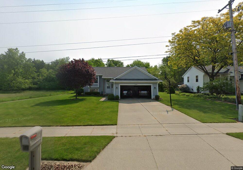
1906 Mullins Ave NW Grand Rapids, MI 49534
Estimated Value: $356,000 - $436,000
2
Beds
1
Bath
1,150
Sq Ft
$346/Sq Ft
Est. Value
About This Home
This home is located at 1906 Mullins Ave NW, Grand Rapids, MI 49534 and is currently estimated at $397,361, approximately $345 per square foot. 1906 Mullins Ave NW is a home located in Kent County with nearby schools including Kenowa Hills Central Elementary School, Kenowa Hills Middle School, and Kenowa Hills High School.
Ownership History
Date
Name
Owned For
Owner Type
Purchase Details
Closed on
Sep 1, 1998
Bought by
Herrmann Steven G and Herrmann Steven G
Current Estimated Value
Purchase Details
Closed on
Jun 13, 1997
Sold by
Schat John R
Bought by
Turnes Joseph M and Herrmann Steven G
Purchase Details
Closed on
Feb 13, 1997
Sold by
Hoebeke Timothy M
Bought by
Schat John R and Herrmann Steven G
Purchase Details
Closed on
Aug 14, 1996
Bought by
Herrmann Hoebeke and Herrmann Steven G
Create a Home Valuation Report for This Property
The Home Valuation Report is an in-depth analysis detailing your home's value as well as a comparison with similar homes in the area
Home Values in the Area
Average Home Value in this Area
Purchase History
| Date | Buyer | Sale Price | Title Company |
|---|---|---|---|
| Herrmann Steven G | $127,900 | -- | |
| Turnes Joseph M | $123,400 | -- | |
| Schat John R | $123,000 | -- | |
| Herrmann Hoebeke | $11,500 | -- |
Source: Public Records
Tax History Compared to Growth
Tax History
| Year | Tax Paid | Tax Assessment Tax Assessment Total Assessment is a certain percentage of the fair market value that is determined by local assessors to be the total taxable value of land and additions on the property. | Land | Improvement |
|---|---|---|---|---|
| 2025 | $2,401 | $179,500 | $0 | $0 |
| 2024 | $2,401 | $154,300 | $0 | $0 |
| 2023 | $2,296 | $141,800 | $0 | $0 |
| 2022 | $2,470 | $131,500 | $0 | $0 |
| 2021 | $2,407 | $121,700 | $0 | $0 |
| 2020 | $2,113 | $116,300 | $0 | $0 |
| 2019 | $3,860 | $106,100 | $0 | $0 |
| 2018 | $2,284 | $97,300 | $0 | $0 |
| 2017 | $2,221 | $86,000 | $0 | $0 |
| 2016 | $2,074 | $82,000 | $0 | $0 |
| 2015 | $1,959 | $82,000 | $0 | $0 |
| 2013 | -- | $73,100 | $0 | $0 |
Source: Public Records
Map
Nearby Homes
- 1781 Mullins Ave NW
- 3560 Richmond St NW
- 1733 Whitmore Ave NW
- 3120 Richmond St NW
- 3080 Richmond St NW
- 1596 Geddes Ave NW
- 1524 Stark Ave NW
- 2140 Kinney Ave NW
- 2220 Elmridge Dr NW
- 1300 Lancaster Ave NW
- 1289 Lancaster Ave NW
- 1302 Hillburn Ave NW
- 2530 Westbrook Dr NW
- 2558 Meadow Ridge Dr
- 2716 Elmridge Dr NW
- 2549 Meadow Ridge Dr Unit 51
- 1270 Hillburn Ave NW Unit 35
- 2505 Longmeadow St NW
- 3405 3 Mile Rd NW
- 2551 Kinney Ave NW
- 1894 Mullins Ave NW
- 1930 Mullins Ave NW
- 1901 Mullins Ave NW
- 1913 Mullins Ave NW
- 1889 Mullins Ave NW
- 1925 Mullins Ave NW
- 1942 Mullins Ave NW
- 1877 Mullins Ave NW
- 1937 Mullins Ave NW
- 1876 Mullins Ave NW
- 1954 Mullins Ave NW
- 1902 Ruthven Ave NW
- 1862 Mullins Ave NW
- 1865 Mullins Ave NW
- 1914 Ruthven Ave NW
- 1890 Ruthven Ave NW
- 1949 Mullins Ave NW
- 1926 Ruthven Ave NW
- 1878 Ruthven Ave NW
- 1853 Mullins Ave NW