Estimated Value: $104,000 - $139,000
--
Bed
--
Bath
1,148
Sq Ft
$111/Sq Ft
Est. Value
About This Home
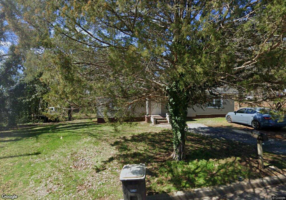
This home is located at 1906 Olmstead St SW, Rome, GA 30161 and is currently estimated at $127,775, approximately $111 per square foot. 1906 Olmstead St SW is a home located in Floyd County with nearby schools including Rome High School.
Ownership History
Date
Name
Owned For
Owner Type
Purchase Details
Closed on
Sep 1, 2005
Sold by
Corbin Claude F
Bought by
Maple Street Holdings Llc
Current Estimated Value
Purchase Details
Closed on
Sep 14, 1998
Sold by
Lumpkin Geraldine W Lumpkin Geraldine
Bought by
Corbin Claude F
Purchase Details
Closed on
Aug 13, 1985
Sold by
P Geraldine W Lumpkin C and P Geraldine W Lumpkin C
Bought by
Lumpkin Geraldine W
Purchase Details
Closed on
Feb 3, 1969
Sold by
Brown A R Brown A R Brown A R
Bought by
Geraldine W Lumpkin C and Geraldine W Lumpkin C
Purchase Details
Closed on
Mar 5, 1965
Sold by
Trash J W Trash J W Trash J W
Bought by
Brown A R Brown A R Brown A R
Purchase Details
Closed on
Jan 1, 1901
Bought by
Trash J W Trash J W Trash J W
Create a Home Valuation Report for This Property
The Home Valuation Report is an in-depth analysis detailing your home's value as well as a comparison with similar homes in the area
Home Values in the Area
Average Home Value in this Area
Purchase History
| Date | Buyer | Sale Price | Title Company |
|---|---|---|---|
| Maple Street Holdings Llc | $28,600 | -- | |
| Corbin Claude F | $19,300 | -- | |
| Lumpkin Geraldine W | -- | -- | |
| Lumpkin Geraldine W Lumpkin Geraldi | -- | -- | |
| Geraldine W Lumpkin C | $5,500 | -- | |
| Brown A R Brown A R Brown A R | $5,500 | -- | |
| Trash J W Trash J W Trash J W | -- | -- |
Source: Public Records
Tax History Compared to Growth
Tax History
| Year | Tax Paid | Tax Assessment Tax Assessment Total Assessment is a certain percentage of the fair market value that is determined by local assessors to be the total taxable value of land and additions on the property. | Land | Improvement |
|---|---|---|---|---|
| 2024 | $1,664 | $42,761 | $5,051 | $37,710 |
| 2023 | $1,273 | $36,260 | $4,592 | $31,668 |
| 2022 | $979 | $26,817 | $3,674 | $23,143 |
| 2021 | $898 | $24,196 | $3,674 | $20,522 |
| 2020 | $827 | $22,105 | $2,870 | $19,235 |
| 2019 | $770 | $20,794 | $2,870 | $17,924 |
| 2018 | $721 | $19,484 | $2,870 | $16,614 |
| 2017 | $693 | $18,712 | $2,870 | $15,842 |
| 2016 | $674 | $18,160 | $2,840 | $15,320 |
| 2015 | $106 | $18,160 | $2,840 | $15,320 |
| 2014 | $106 | $18,160 | $2,840 | $15,320 |
Source: Public Records
Map
Nearby Homes
- 14 Clover St SW
- 304 E 19th St SW
- 1705 Olmstead St SW
- 407 E 18th St SW
- 2014 Maple Ave SW
- 414 E 17th St SW
- 111 Hosea St SW
- 000 E Oglethorpe Hwy
- 7 Willingham St SW
- 1901 Hull Ave SW
- 39 E 16th St SW
- 2108 Maple Ave SW
- 4 E 15th St SW
- 421 Cedar Ave SW
- 525 E 14th St SW
- 106 E 14th St SW
- 121 Holly St SE
- 2512 Callier Springs Rd SE
- 1314 E 2nd Ave SE
- 0 Martha Berry Hwy Unit 7525627
- 407 E 20th St SW
- 1904 Olmstead St SW
- 405 E 20th St SW
- 1907 Olmstead St SW
- 415 E 20th St SW
- 408 E 19th St SW
- 1903 Olmstead St SW
- 0 Margaret St Unit 7387234
- 0 Margaret St Unit 331 8965533
- 417 E 20th St SW
- 410 E 19th St SW
- E E 20th St SW
- 500 E 19th St SW
- 406 E 19th St SW
- 406 E 19th St SW
- 404 E 19th St SW
- 419 E 20th St SW
- 502 E 19th St SW
- 504 E 19th St SW
- 416 E 20th St SW