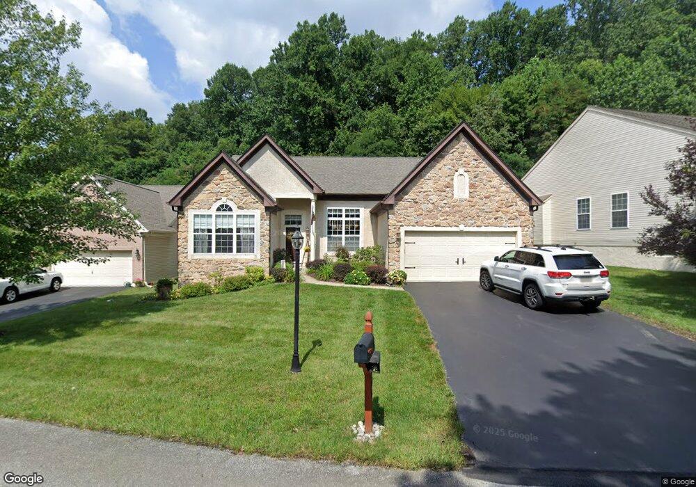
1906 Phipps Cir Downingtown, PA 19335
Estimated Value: $555,000 - $621,000
3
Beds
3
Baths
2,644
Sq Ft
$224/Sq Ft
Est. Value
About This Home
This home is located at 1906 Phipps Cir, Downingtown, PA 19335 and is currently estimated at $591,871, approximately $223 per square foot. 1906 Phipps Cir is a home located in Chester County with nearby schools including Reeceville Elementary School, Coatesville Intermediate High School, and Coatesville Area Senior High School.
Ownership History
Date
Name
Owned For
Owner Type
Purchase Details
Closed on
Jun 2, 2011
Sold by
Costanza Marcella F and Hyneman Kathleen M
Bought by
Pelton David L and Pelton Colleen M
Current Estimated Value
Home Financials for this Owner
Home Financials are based on the most recent Mortgage that was taken out on this home.
Original Mortgage
$125,000
Outstanding Balance
$8,575
Interest Rate
4.74%
Mortgage Type
New Conventional
Estimated Equity
$583,296
Create a Home Valuation Report for This Property
The Home Valuation Report is an in-depth analysis detailing your home's value as well as a comparison with similar homes in the area
Home Values in the Area
Average Home Value in this Area
Purchase History
| Date | Buyer | Sale Price | Title Company |
|---|---|---|---|
| Pelton David L | $315,000 | None Available |
Source: Public Records
Mortgage History
| Date | Status | Borrower | Loan Amount |
|---|---|---|---|
| Open | Pelton David L | $125,000 |
Source: Public Records
Tax History Compared to Growth
Tax History
| Year | Tax Paid | Tax Assessment Tax Assessment Total Assessment is a certain percentage of the fair market value that is determined by local assessors to be the total taxable value of land and additions on the property. | Land | Improvement |
|---|---|---|---|---|
| 2025 | $9,296 | $178,840 | $27,120 | $151,720 |
| 2024 | $9,296 | $178,840 | $27,120 | $151,720 |
| 2023 | $9,103 | $178,840 | $27,120 | $151,720 |
| 2022 | $7,386 | $152,830 | $27,120 | $125,710 |
| 2021 | $7,154 | $152,830 | $27,120 | $125,710 |
| 2020 | $7,035 | $152,830 | $27,120 | $125,710 |
| 2019 | $6,905 | $152,830 | $27,120 | $125,710 |
| 2018 | $6,456 | $151,050 | $27,120 | $123,930 |
| 2017 | $6,236 | $151,050 | $27,120 | $123,930 |
| 2016 | $4,805 | $151,050 | $27,120 | $123,930 |
| 2015 | $4,805 | $151,050 | $27,120 | $123,930 |
| 2014 | $4,805 | $151,050 | $27,120 | $123,930 |
Source: Public Records
Map
Nearby Homes
- 2101 Jacobs Mill Cir
- 105 Helm Way
- 16 Parkside Ave
- 114 Governors Cir
- 184 Race St
- 4701 Edges Mill Rd
- 390 Mary St
- 115 Whelen Ave
- 340 Carlyn Ct
- 137 W Lancaster Ave
- 266 Carlyn Ct
- 604 Highland Ave
- 335 E Lancaster Ave Unit F-13
- 112 Bradford Ave
- 161 Jefferson Ave
- 900 Covington Dr
- 6 Holleran Dr
- 402 Norwood Rd
- 309 Jefferson Ave
- 514 E Lancaster Ave
- 1908 Phipps Cir
- 1904 Phipps Cir
- 1910 Phipps Cir
- 1902 Phipps Cir
- 1907 Phipps Cir
- 1905 Phipps Cir
- 1903 Phipps Cir
- 1909 Phipps Cir
- 1912 Phipps Cir Unit 39
- 1913 Phipps Cir
- 1911 Phipps Cir Unit 41
- 1801 Burnt Coal Cir
- 317 Rock Raymond Rd
- 2111 Jacobs Mill Cir
- 1706 Open Hearth Rd
- 2102 Jacobs Mill Cir
- 1802 Burnt Coal Cir
- 1803 Burnt Coal Cir
- 2109 Jacobs Mill Cir
- 1704 Open Hearth Rd