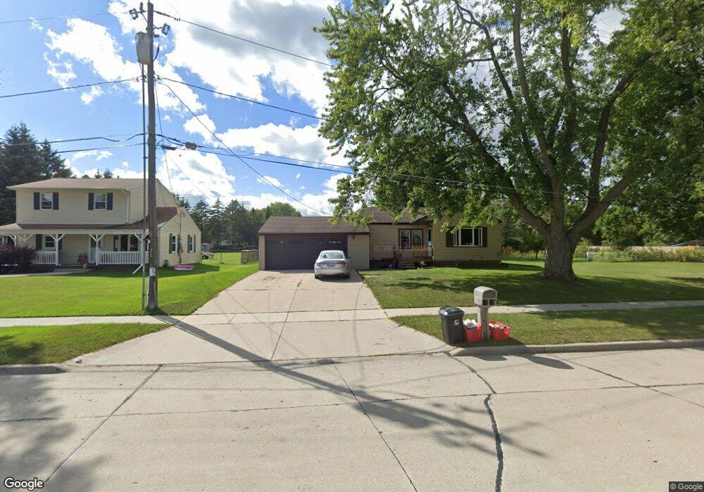
1906 Platt St Manitowoc, WI 54220
Estimated Value: $237,000 - $288,832
3
Beds
2
Baths
1,227
Sq Ft
$217/Sq Ft
Est. Value
About This Home
This home is located at 1906 Platt St, Manitowoc, WI 54220 and is currently estimated at $265,958, approximately $216 per square foot. 1906 Platt St is a home located in Manitowoc County with nearby schools including Jackson Elementary School, Wilson Middle School, and Lincoln High School.
Ownership History
Date
Name
Owned For
Owner Type
Purchase Details
Closed on
Jul 8, 2019
Sold by
Cerkas Brian J
Bought by
Romero Manuel T and Romero Charity M
Current Estimated Value
Purchase Details
Closed on
Oct 10, 2008
Sold by
Wachowski Bernadine A
Bought by
Romero Manuel T
Purchase Details
Closed on
Nov 30, 2006
Sold by
Gruber Pamela K
Bought by
Romero Manuel T and Romero Charity M
Purchase Details
Closed on
Apr 19, 2006
Sold by
Gruber Robert A and Gruber Pamela K
Bought by
Gruber Pamela K
Create a Home Valuation Report for This Property
The Home Valuation Report is an in-depth analysis detailing your home's value as well as a comparison with similar homes in the area
Home Values in the Area
Average Home Value in this Area
Purchase History
| Date | Buyer | Sale Price | Title Company |
|---|---|---|---|
| Romero Manuel T | $2,500 | None Available | |
| Romero Manuel T | $8,700 | -- | |
| Romero Manuel T | $115,900 | -- | |
| Gruber Pamela K | $74,300 | -- |
Source: Public Records
Tax History Compared to Growth
Tax History
| Year | Tax Paid | Tax Assessment Tax Assessment Total Assessment is a certain percentage of the fair market value that is determined by local assessors to be the total taxable value of land and additions on the property. | Land | Improvement |
|---|---|---|---|---|
| 2024 | $3,421 | $207,500 | $36,800 | $170,700 |
| 2023 | $3,143 | $207,500 | $36,800 | $170,700 |
| 2022 | $2,815 | $155,200 | $36,800 | $118,400 |
| 2021 | $2,820 | $155,200 | $36,800 | $118,400 |
| 2020 | $2,592 | $130,700 | $36,800 | $93,900 |
| 2019 | $2,414 | $124,100 | $30,200 | $93,900 |
| 2018 | $2,376 | $124,100 | $30,200 | $93,900 |
| 2017 | $2,352 | $124,100 | $30,200 | $93,900 |
| 2016 | $2,440 | $124,100 | $30,200 | $93,900 |
| 2015 | $2,511 | $124,100 | $30,200 | $93,900 |
| 2014 | $2,447 | $124,100 | $30,200 | $93,900 |
| 2013 | $2,478 | $124,100 | $30,200 | $93,900 |
Source: Public Records
Map
Nearby Homes
- 3608 Menasha Ave
- 2122 Paul Rd
- 3718 Westwood Ln
- 4207 Menasha Ave
- Lt2 Virginia Dr
- Lt3 Virginia Dr
- Lt1 Virginia Dr
- Lt4 Virginia Dr
- 2205 Kellner St
- 1933 Kellner St
- 3912 Wildwood Dr
- 1127 Tanglewood Rd
- 2415 N Rapids Rd
- 4911 Elmer Ln
- 4642 Ridge Ct
- 4326 Michigan Ave
- 1936 Ravenswood Ln
- 1934 Ravenswood Ln
- 1928 Ravenswood Ln
- 1926 Ravenswood Ln
- 1903 Platt St
- 1914 Platt St
- 1838 Platt St
- 3716 Platt View Ct
- 1834 Platt St
- 3711 Menasha Ave
- 3727 Platt View Ct
- 3721 Platt View Ct
- 3705 Menasha Ave
- 3710 Platt View Ct
- 3805 Menasha Ave
- 1726 Platt St
- 3715 Platt View Ct
- 1727 Platt St
- 1724 Platt St
- 1725 Platt St
- 3704 Platt View Ct
- 3813 Menasha Ave
- 1901 Pleasant St
- 1720 Platt St