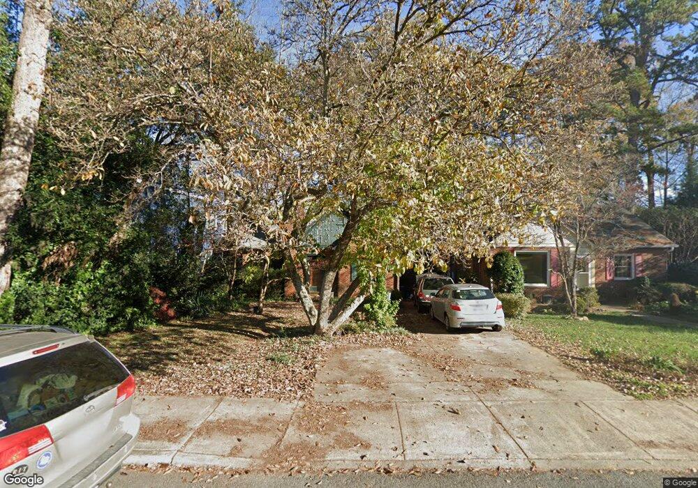
1906 Truman Rd Charlotte, NC 28205
Plaza Midwood NeighborhoodEstimated Value: $746,817 - $889,000
4
Beds
2
Baths
1,870
Sq Ft
$433/Sq Ft
Est. Value
About This Home
This home is located at 1906 Truman Rd, Charlotte, NC 28205 and is currently estimated at $809,454, approximately $432 per square foot. 1906 Truman Rd is a home located in Mecklenburg County with nearby schools including Shamrock Gardens Elementary School, Eastway Middle School, and Garinger High School.
Ownership History
Date
Name
Owned For
Owner Type
Purchase Details
Closed on
Nov 28, 2016
Sold by
Gregory Edward Schropp Living Trust
Bought by
Schropp Melissa Leet and Schropp Gregory Edward
Current Estimated Value
Purchase Details
Closed on
Apr 18, 2005
Sold by
Schropp Gregory Edward and Schropp Melissa Leet
Bought by
Gregory Edward Schropp Living Trust and Melissa Leet Schropp Living Trust
Home Financials for this Owner
Home Financials are based on the most recent Mortgage that was taken out on this home.
Original Mortgage
$155,000
Outstanding Balance
$80,038
Interest Rate
5.79%
Mortgage Type
Purchase Money Mortgage
Estimated Equity
$729,416
Purchase Details
Closed on
Mar 20, 2000
Sold by
Schropp Gregory E and Schropp Melissa L
Bought by
Gregory Edward Schropp Living Trust and Melissa Leet Schropp Living Trust
Create a Home Valuation Report for This Property
The Home Valuation Report is an in-depth analysis detailing your home's value as well as a comparison with similar homes in the area
Home Values in the Area
Average Home Value in this Area
Purchase History
| Date | Buyer | Sale Price | Title Company |
|---|---|---|---|
| Schropp Melissa Leet | -- | None Available | |
| Gregory Edward Schropp Living Trust | -- | -- | |
| Schropp Gregory Edward | -- | -- | |
| Gregory Edward Schropp Living Trust | -- | -- |
Source: Public Records
Mortgage History
| Date | Status | Borrower | Loan Amount |
|---|---|---|---|
| Open | Schropp Gregory Edward | $155,000 |
Source: Public Records
Tax History
| Year | Tax Paid | Tax Assessment Tax Assessment Total Assessment is a certain percentage of the fair market value that is determined by local assessors to be the total taxable value of land and additions on the property. | Land | Improvement |
|---|---|---|---|---|
| 2025 | $4,611 | $588,700 | $350,000 | $238,700 |
| 2024 | $4,611 | $588,700 | $350,000 | $238,700 |
| 2023 | $4,457 | $588,700 | $350,000 | $238,700 |
| 2022 | $4,568 | $460,400 | $275,000 | $185,400 |
| 2021 | $4,557 | $460,400 | $275,000 | $185,400 |
| 2020 | $4,550 | $460,400 | $275,000 | $185,400 |
| 2019 | $4,534 | $460,400 | $275,000 | $185,400 |
| 2018 | $3,786 | $283,000 | $162,000 | $121,000 |
| 2017 | $3,726 | $283,000 | $162,000 | $121,000 |
| 2016 | $3,717 | $283,000 | $162,000 | $121,000 |
| 2015 | $3,705 | $283,000 | $162,000 | $121,000 |
| 2014 | $3,687 | $282,200 | $162,000 | $120,200 |
Source: Public Records
Map
Nearby Homes
- 1804 Dearmon Dr
- 1919 Club Rd
- 2020 Sablewood Dr
- 1905 Chatham Ave
- 2314 Wolfe St
- 1701 Fulton Ave
- 1600 Fulton Ave Unit 204
- 1824 Kenwood Ave
- 2214 Chatham Ave
- 1421 Lyon Ct
- 1603 Tippah Park Ct
- 1607 Tippah Park Ct
- 1527 Saint George St
- 1901 Graybark Ave
- 1317 Morningside Dr
- 1822 Hall Ave
- 1424 Nandina St
- 1810 Ferguson Ct
- 3304 Josephine Ct
- 3301 Draper Ave
- 1900 Truman Rd
- 1912 Truman Rd
- 1824 Truman Rd
- 1920 Truman Rd
- 1820 Truman Rd
- 1905 Dunhill Dr
- 1829 Dearmon Dr
- 1827 Dearmon Dr
- 1909 Dunhill Dr
- 1926 Truman Rd
- 1821 Dearmon Dr
- 1825 Dearmon Dr
- 1907 Truman Rd
- 1816 Truman Rd
- 1901 Truman Rd
- 1911 Truman Rd
- 1823 Dearmon Dr
- 1915 Truman Rd
- 1817 Dearmon Dr
- 1817 Dearmon Dr Unit 10
Your Personal Tour Guide
Ask me questions while you tour the home.