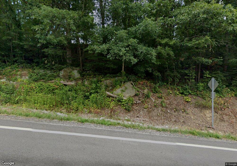
19065 State Route 676 Marietta, OH 45750
Estimated Value: $303,000 - $468,000
4
Beds
1
Bath
2,400
Sq Ft
$161/Sq Ft
Est. Value
About This Home
This home is located at 19065 State Route 676, Marietta, OH 45750 and is currently estimated at $386,776, approximately $161 per square foot. 19065 State Route 676 is a home with nearby schools including Warren High School and St. John Central Grade School.
Ownership History
Date
Name
Owned For
Owner Type
Purchase Details
Closed on
Feb 28, 2017
Sold by
Smith Robby L and Smith Amanda J
Bought by
Smith Robby L
Current Estimated Value
Home Financials for this Owner
Home Financials are based on the most recent Mortgage that was taken out on this home.
Original Mortgage
$171,957
Outstanding Balance
$142,912
Interest Rate
4.25%
Mortgage Type
FHA
Estimated Equity
$243,864
Purchase Details
Closed on
Jul 3, 1996
Bought by
Smith Rob
Purchase Details
Closed on
Nov 30, 1990
Bought by
Miller Paula Y
Create a Home Valuation Report for This Property
The Home Valuation Report is an in-depth analysis detailing your home's value as well as a comparison with similar homes in the area
Home Values in the Area
Average Home Value in this Area
Purchase History
| Date | Buyer | Sale Price | Title Company |
|---|---|---|---|
| Smith Robby L | -- | Attorney | |
| Smith Rob | $43,000 | -- | |
| Miller Paula Y | $24,000 | -- |
Source: Public Records
Mortgage History
| Date | Status | Borrower | Loan Amount |
|---|---|---|---|
| Open | Smith Robby L | $171,957 |
Source: Public Records
Tax History Compared to Growth
Tax History
| Year | Tax Paid | Tax Assessment Tax Assessment Total Assessment is a certain percentage of the fair market value that is determined by local assessors to be the total taxable value of land and additions on the property. | Land | Improvement |
|---|---|---|---|---|
| 2024 | $4,841 | $127,300 | $13,930 | $113,370 |
| 2023 | $4,841 | $127,300 | $13,930 | $113,370 |
| 2022 | $4,824 | $127,300 | $13,930 | $113,370 |
| 2021 | $3,775 | $95,330 | $9,650 | $85,680 |
| 2020 | $3,765 | $95,330 | $9,650 | $85,680 |
| 2019 | $3,718 | $95,330 | $9,650 | $85,680 |
| 2018 | $3,457 | $85,950 | $8,390 | $77,560 |
| 2017 | $3,506 | $85,950 | $8,390 | $77,560 |
| 2016 | $3,071 | $85,950 | $8,390 | $77,560 |
| 2015 | $2,714 | $73,690 | $8,050 | $65,640 |
| 2014 | $3,793 | $73,690 | $8,050 | $65,640 |
| 2013 | $2,615 | $73,690 | $8,050 | $65,640 |
Source: Public Records
Map
Nearby Homes
- 116 Pineview Dr
- 565 Lang Farm Rd
- 20645 Ohio 676
- 65 High Point Dr
- 305 Flintwood Dr
- 102 Woodrow St
- 4 Julie Ln
- 1119 Lancaster St
- 208 Marshall Rd
- 132 Mound Dr
- 40 Masonic Park Ln
- 111 Hanson Dr
- 207 Lindsey Ave
- 126 Sylvan Way
- 117 Clark St
- 107 Strecker Hill
- 315 Muskingum Dr
- 0 Fisher Ridge Rd Tract 8
- 211 Beaver St
- 332 Muskingum Dr
- 19160 State Route 676
- 18915 State Route 676
- 18905 State Route 676
- 40 Rummer Rd
- 19166 State Route 676
- 19435 State Route 676
- 19480 State Route 676
- 124 Pineview Dr
- 122 Pineview Dr
- 127 Pineview Dr Unit END
- 18854 State Route 676
- 18854 State Route 676
- 186 Pineview Dr
- 118 Pineview Dr
- 125 Pineview Dr
- 18750 State Route 676
- 18760 State Route 676
- 121 Pineview Dr
- 121 Pineview Dr
- 114 Pineview Dr
