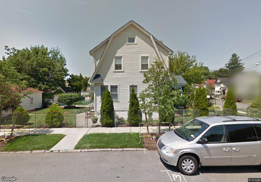
19066 112th Ave Saint Albans, NY 11412
Hollis NeighborhoodEstimated Value: $627,152 - $730,000
--
Bed
--
Bath
1,520
Sq Ft
$455/Sq Ft
Est. Value
About This Home
This home is located at 19066 112th Ave, Saint Albans, NY 11412 and is currently estimated at $691,038, approximately $454 per square foot. 19066 112th Ave is a home located in Queens County with nearby schools including P.S. 118 Lorraine Hansberry, I.S. 192 The Linden, and True Deliverance Christian School.
Ownership History
Date
Name
Owned For
Owner Type
Purchase Details
Closed on
Mar 13, 2003
Sold by
Austin James and Pemberton Robin
Bought by
Artis Elmer and Artis Joann
Current Estimated Value
Purchase Details
Closed on
Aug 20, 2002
Sold by
Hayes Clarence and Austin James
Bought by
Austin James and Pemberton Robin
Create a Home Valuation Report for This Property
The Home Valuation Report is an in-depth analysis detailing your home's value as well as a comparison with similar homes in the area
Home Values in the Area
Average Home Value in this Area
Purchase History
| Date | Buyer | Sale Price | Title Company |
|---|---|---|---|
| Artis Elmer | $242,000 | -- | |
| Austin James | -- | -- |
Source: Public Records
Mortgage History
| Date | Status | Borrower | Loan Amount |
|---|---|---|---|
| Closed | Artis Elmer | $0 |
Source: Public Records
Tax History Compared to Growth
Tax History
| Year | Tax Paid | Tax Assessment Tax Assessment Total Assessment is a certain percentage of the fair market value that is determined by local assessors to be the total taxable value of land and additions on the property. | Land | Improvement |
|---|---|---|---|---|
| 2025 | $4,356 | $24,473 | $6,987 | $17,486 |
| 2024 | $4,638 | $23,090 | $6,478 | $16,612 |
| 2023 | $4,356 | $23,090 | $6,478 | $16,612 |
| 2022 | $4,287 | $40,680 | $11,700 | $28,980 |
| 2021 | $4,253 | $35,100 | $11,700 | $23,400 |
| 2020 | $4,021 | $32,160 | $11,700 | $20,460 |
| 2019 | $3,732 | $35,400 | $11,700 | $23,700 |
| 2018 | $3,625 | $19,242 | $7,966 | $11,276 |
| 2017 | $3,593 | $19,094 | $8,367 | $10,727 |
| 2016 | $3,291 | $19,094 | $8,367 | $10,727 |
| 2015 | $1,953 | $16,995 | $8,781 | $8,214 |
| 2014 | $1,953 | $16,035 | $9,942 | $6,093 |
Source: Public Records
Map
Nearby Homes
- 190-59 112th Ave
- 190-63 112th Ave
- 191-40 112th Rd
- 194-16 112th Ave
- 194-29 112th Ave
- 194- 24 111th Rd
- 19022 111th Rd
- 19404 110th Rd
- 19432 113th Rd
- 19427 Murdock Ave
- 111-06 Farmers Blvd
- 19445 Murdock Ave
- 18833 Keeseville Ave
- 194-42 Murdock Ave
- 19431 114th Rd
- 194-56 Murdock Ave
- 191-34 114th Rd
- 187-44 Jordan Ave
- 191-16 114th Rd
- 188-25 Mangin Ave
- 19062 112th Ave
- 19062 112th Ave
- 19058 112th Ave
- 19058 112th Ave
- 19402 112th Ave
- 194-02 112th Ave
- 19054 112th Ave
- 19155 112th Rd
- 190-54 112th Ave
- 19151 112th Rd
- 191-55 112th Rd
- 19149 112th Rd
- 19406 112th Ave
- 191-51 112th Rd
- 19052 112th Ave
- 19401 112th Rd
- 191-49 112th Rd
- 19149 112th Rd
- 19145 112th Rd
- 19405 112th Rd