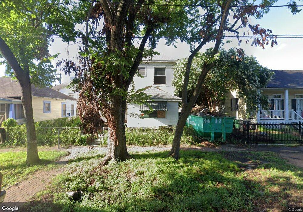
1907 Decatur St Unit 2 Houston, TX 77007
Sixth Ward NeighborhoodEstimated Value: $467,839 - $852,000
4
Beds
2
Baths
2,340
Sq Ft
$254/Sq Ft
Est. Value
About This Home
This home is located at 1907 Decatur St Unit 2, Houston, TX 77007 and is currently estimated at $595,210, approximately $254 per square foot. 1907 Decatur St Unit 2 is a home located in Harris County with nearby schools including Crockett Elementary School, Hogg Middle, and Heights High School.
Ownership History
Date
Name
Owned For
Owner Type
Purchase Details
Closed on
Apr 15, 2024
Sold by
Ehtx Investments Llc
Bought by
Harkor Homes Llc
Current Estimated Value
Home Financials for this Owner
Home Financials are based on the most recent Mortgage that was taken out on this home.
Original Mortgage
$485,000
Interest Rate
6.88%
Mortgage Type
Construction
Purchase Details
Closed on
Jan 19, 2023
Sold by
Nixon Floyd James
Bought by
Houston Heights Llc
Create a Home Valuation Report for This Property
The Home Valuation Report is an in-depth analysis detailing your home's value as well as a comparison with similar homes in the area
Home Values in the Area
Average Home Value in this Area
Purchase History
| Date | Buyer | Sale Price | Title Company |
|---|---|---|---|
| Harkor Homes Llc | -- | None Listed On Document | |
| Leyva Joe Edward | -- | Spartan Title | |
| Houston Heights Llc | -- | None Listed On Document |
Source: Public Records
Mortgage History
| Date | Status | Borrower | Loan Amount |
|---|---|---|---|
| Closed | Leyva Joe Edward | $485,000 |
Source: Public Records
Tax History Compared to Growth
Tax History
| Year | Tax Paid | Tax Assessment Tax Assessment Total Assessment is a certain percentage of the fair market value that is determined by local assessors to be the total taxable value of land and additions on the property. | Land | Improvement |
|---|---|---|---|---|
| 2025 | $5,937 | $485,514 | $300,000 | $185,514 |
| 2024 | $5,937 | $283,756 | $275,000 | $8,756 |
| 2023 | $5,937 | $283,792 | $275,000 | $8,792 |
| 2022 | $5,441 | $247,085 | $240,000 | $7,085 |
| 2021 | $5,712 | $245,089 | $240,000 | $5,089 |
| 2020 | $5,935 | $245,089 | $240,000 | $5,089 |
| 2019 | $5,718 | $229,950 | $225,000 | $4,950 |
| 2018 | $1,284 | $204,506 | $200,000 | $4,506 |
| 2017 | $5,184 | $233,989 | $200,000 | $33,989 |
| 2016 | $5,176 | $233,989 | $200,000 | $33,989 |
| 2015 | $1,362 | $208,989 | $175,000 | $33,989 |
| 2014 | $1,362 | $192,372 | $150,000 | $42,372 |
Source: Public Records
Map
Nearby Homes
- 1810 Kane St
- 939 Colorado St Unit 20
- 1722 Washington Ave Unit D
- 2011 Decatur St
- 1708 Washington Ave Unit C
- 2014 Decatur St
- 1806 State St
- 2010 Lubbock St
- 2021 Kane St Unit 8
- 1819 Dart St
- 1807 Dart St
- 2014 Washington
- 0 Edwards St Unit 15793282
- 2300 Union St Unit 2300D
- 1203 Hickory St Unit D
- 1508 Sabine St
- 1620 Bingham St
- 1219 Hickory St
- 1504 Johnson St
- 1604 White St
- 815 Silver St
- 1909 Decatur St
- 1906 Kane St
- 1904 Kane St
- 1910 Kane St
- 1912 Kane St
- 1819 Decatur St
- 1908 Decatur St
- 1904 Decatur St
- 1916 Kane St
- 1820 Kane St
- 1910 Decatur St
- 1817 Decatur St
- 1914 Decatur St
- 1920 Kane St
- 1820 Decatur St
- 1818 Kane St
- 1818 Kane St Unit 2
- 1818 Kane St Unit 1
- 1909 Washington Ave