Estimated Value: $86,474 - $194,000
Studio
2
Baths
2,138
Sq Ft
$58/Sq Ft
Est. Value
About This Home
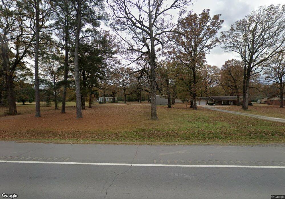
This home is located at 1907 Highway 70 E, Hazen, AR 72064 and is currently estimated at $124,491, approximately $58 per square foot. 1907 Highway 70 E is a home located in Prairie County with nearby schools including Hazen Elementary School and Hazen High School.
Ownership History
Date
Name
Owned For
Owner Type
Purchase Details
Closed on
Mar 13, 2015
Sold by
Citimortgage Inc
Bought by
West Clarence
Current Estimated Value
Home Financials for this Owner
Home Financials are based on the most recent Mortgage that was taken out on this home.
Original Mortgage
$45,000
Outstanding Balance
$34,431
Interest Rate
3.89%
Mortgage Type
Future Advance Clause Open End Mortgage
Estimated Equity
$90,060
Purchase Details
Closed on
Jan 4, 2014
Bought by
Citimortgage Inc
Purchase Details
Closed on
Jul 1, 2011
Sold by
Sebren Jeffrey Lee and Sebren Tammy O
Bought by
Citimortgage Inc
Create a Home Valuation Report for This Property
The Home Valuation Report is an in-depth analysis detailing your home's value as well as a comparison with similar homes in the area
Purchase History
| Date | Buyer | Sale Price | Title Company |
|---|---|---|---|
| West Clarence | -- | -- | |
| Citimortgage Inc | -- | -- | |
| Citimortgage Inc | $85,000 | -- |
Source: Public Records
Mortgage History
| Date | Status | Borrower | Loan Amount |
|---|---|---|---|
| Open | West Clarence | $45,000 |
Source: Public Records
Tax History
| Year | Tax Paid | Tax Assessment Tax Assessment Total Assessment is a certain percentage of the fair market value that is determined by local assessors to be the total taxable value of land and additions on the property. | Land | Improvement |
|---|---|---|---|---|
| 2025 | $414 | $7,540 | $4,210 | $3,330 |
| 2024 | $188 | $3,860 | $3,370 | $490 |
| 2023 | $188 | $3,860 | $3,370 | $490 |
| 2022 | $188 | $3,860 | $3,370 | $490 |
| 2021 | $188 | $3,860 | $3,370 | $490 |
| 2020 | $188 | $3,860 | $3,370 | $490 |
| 2019 | $182 | $3,720 | $3,160 | $560 |
| 2018 | $182 | $3,720 | $3,160 | $560 |
| 2017 | $833 | $18,260 | $3,160 | $15,100 |
| 2015 | -- | $9,670 | $3,160 | $6,510 |
| 2014 | -- | $21,200 | $3,610 | $17,590 |
| 2013 | -- | $21,200 | $3,610 | $17,590 |
Source: Public Records
Map
Nearby Homes
- 501 S Woodlawn Ave
- 608 E Adams St
- 2802 Saddle Creek Rd
- 505 W Cleveland St
- 873 Arkansas 86
- 302 W Cedar St
- NW 1/4 SE 1/4 S 3 T2n R 6w
- 203 W Cedar St
- 278 W Prairie St
- 3044 Highway 33 S
- 1413 U S 70
- 2425 Raborn Rd
- 1595 Blue Point Rd
- 68 Eastwood Dr
- 56 and 60 Schafer Dr
- 50 Schafer Dr
- 9434 Hwy 33n
- 701 E 3rd St
- 9434 33 N Hwy
- 7180 Ar Hwy 86 W
- 1907 Highway 70 E
- 2537 Hwy 70 E
- 1905 Highway 70 E
- 1903 Highway 70 E
- 1809 Highway 70 E
- 1809 Highway 70 E
- 2005 Highway 70 E
- 1807 Highway 70 E
- 201 S Maple St
- 576 E Jackson St
- 2310 Highway 70 E
- 628 E Jackson St
- 1507 Hwy 70 E
- 1507 Hwy 70 E
- 0 Hwy 70 E Unit 20016486
- 0 Hwy 70 E Unit 18024700
- 1505 U S 70
- 682 E Jackson St
- 3089 Highway 63 N
- 3113 Highway 63 S
Your Personal Tour Guide
Ask me questions while you tour the home.