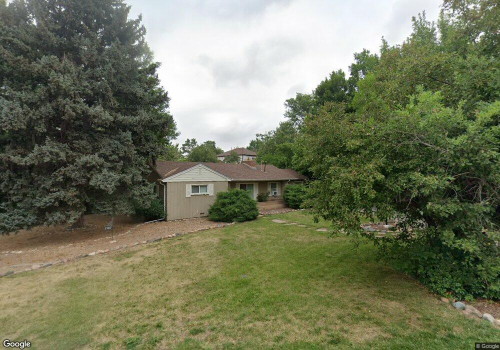
1907 Taft Dr Lakewood, CO 80215
Applewood Valley NeighborhoodEstimated Value: $411,000 - $644,000
4
Beds
2
Baths
2,002
Sq Ft
$263/Sq Ft
Est. Value
About This Home
This home is located at 1907 Taft Dr, Lakewood, CO 80215 and is currently estimated at $526,158, approximately $262 per square foot. 1907 Taft Dr is a home located in Jefferson County with nearby schools including Stober Elementary School, Everitt Middle School, and Wheat Ridge High School.
Ownership History
Date
Name
Owned For
Owner Type
Purchase Details
Closed on
Sep 22, 2025
Sold by
Khorshidian Nasser and Khosravi Tahereh
Bought by
Shahzaman Trust
Current Estimated Value
Purchase Details
Closed on
May 14, 2012
Sold by
Kirkegaard Raymond Lawrence and Kirkegaard Rogene T
Bought by
Khorshidian Nasser and Khosravi Tahereh
Purchase Details
Closed on
Aug 28, 2006
Sold by
Davis Sharon G
Bought by
Kirkegaard Raymond Lawrence and Kirkegaard Regene T
Purchase Details
Closed on
Jun 16, 2006
Sold by
Davis Sharon G
Bought by
Kirkegaard Raymond Lawrence
Create a Home Valuation Report for This Property
The Home Valuation Report is an in-depth analysis detailing your home's value as well as a comparison with similar homes in the area
Home Values in the Area
Average Home Value in this Area
Purchase History
| Date | Buyer | Sale Price | Title Company |
|---|---|---|---|
| Shahzaman Trust | -- | None Listed On Document | |
| Khorshidian Nasser | $130,000 | None Available | |
| Kirkegaard Raymond Lawrence | -- | None Available | |
| Kirkegaard Raymond Lawrence | -- | None Available |
Source: Public Records
Tax History Compared to Growth
Tax History
| Year | Tax Paid | Tax Assessment Tax Assessment Total Assessment is a certain percentage of the fair market value that is determined by local assessors to be the total taxable value of land and additions on the property. | Land | Improvement |
|---|---|---|---|---|
| 2024 | $3,039 | $31,701 | $21,859 | $9,842 |
| 2023 | $3,039 | $31,701 | $21,859 | $9,842 |
| 2022 | $2,728 | $27,680 | $14,493 | $13,187 |
| 2021 | $2,751 | $28,477 | $14,910 | $13,567 |
| 2020 | $2,494 | $25,822 | $12,859 | $12,963 |
| 2019 | $2,463 | $25,822 | $12,859 | $12,963 |
| 2018 | $1,984 | $20,278 | $8,895 | $11,383 |
| 2017 | $1,785 | $20,278 | $8,895 | $11,383 |
| 2016 | $1,621 | $17,321 | $7,411 | $9,910 |
| 2015 | $1,440 | $17,321 | $7,411 | $9,910 |
| 2014 | $1,440 | $14,019 | $7,794 | $6,225 |
Source: Public Records
Map
Nearby Homes
- 11715 W 18th Ave
- 11813 W 17th Ave
- 1825 Simms St
- 12075 W 18th Dr
- 2110 Tabor Dr
- 1832 Simms St Unit 1832A
- 1830 Simms St
- 1802 Simms St
- 1678 Tabor St
- 2140 Tabor Dr
- 11423 W 17th Place Unit I11423
- 1723 Robb St Unit 45
- 1723 Robb St Unit 26
- 11422 W 17th Place
- 1555 Swadley St
- 11217 W 18th Ave Unit A
- 1880 Applewood Dr
- 2055 Quail Dr
- 1540 Simms St
- 12362 W 16th Dr