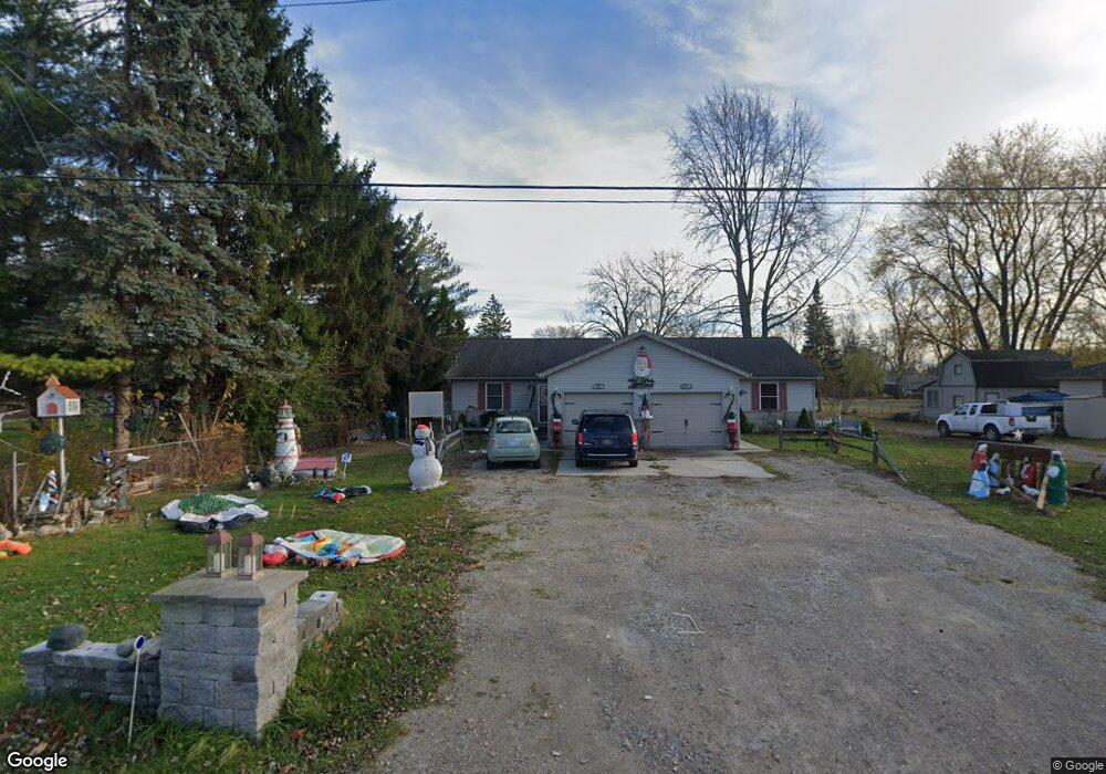
1907 Yeager St Port Huron, MI 48060
Estimated Value: $253,000 - $304,000
2
Beds
1
Bath
2,160
Sq Ft
$131/Sq Ft
Est. Value
About This Home
This home is located at 1907 Yeager St, Port Huron, MI 48060 and is currently estimated at $282,202, approximately $130 per square foot. 1907 Yeager St is a home located in St. Clair County with nearby schools including H.D. Crull Elementary School, Holland Woods Middle School, and Port Huron High School.
Ownership History
Date
Name
Owned For
Owner Type
Purchase Details
Closed on
Nov 28, 2016
Sold by
Dennis John R and Dennis Revocab J R
Bought by
Foster Karen M
Current Estimated Value
Home Financials for this Owner
Home Financials are based on the most recent Mortgage that was taken out on this home.
Original Mortgage
$70,000
Outstanding Balance
$56,436
Interest Rate
3.47%
Mortgage Type
New Conventional
Estimated Equity
$225,766
Purchase Details
Closed on
Jul 25, 2006
Sold by
Dennis John R and Dennis Linda J
Bought by
Dennis John R and Dennis Linda J
Create a Home Valuation Report for This Property
The Home Valuation Report is an in-depth analysis detailing your home's value as well as a comparison with similar homes in the area
Home Values in the Area
Average Home Value in this Area
Purchase History
| Date | Buyer | Sale Price | Title Company |
|---|---|---|---|
| Foster Karen M | $117,000 | Attorney | |
| Dennis John R | -- | None Available |
Source: Public Records
Mortgage History
| Date | Status | Borrower | Loan Amount |
|---|---|---|---|
| Open | Foster Karen M | $70,000 |
Source: Public Records
Tax History Compared to Growth
Tax History
| Year | Tax Paid | Tax Assessment Tax Assessment Total Assessment is a certain percentage of the fair market value that is determined by local assessors to be the total taxable value of land and additions on the property. | Land | Improvement |
|---|---|---|---|---|
| 2025 | $3,728 | $159,700 | $0 | $0 |
| 2024 | $2,324 | $141,300 | $0 | $0 |
| 2023 | $2,167 | $129,600 | $0 | $0 |
| 2022 | $3,352 | $95,400 | $0 | $0 |
| 2021 | $3,096 | $78,300 | $0 | $0 |
| 2020 | $3,096 | $72,850 | $72,850 | $0 |
| 2019 | $2,822 | $63,500 | $0 | $0 |
| 2018 | $2,756 | $63,500 | $0 | $0 |
| 2017 | $2,695 | $65,800 | $0 | $0 |
| 2016 | $2,343 | $65,800 | $0 | $0 |
| 2015 | -- | $66,800 | $66,800 | $0 |
| 2014 | -- | $65,600 | $65,600 | $0 |
| 2013 | -- | $64,000 | $0 | $0 |
Source: Public Records
Map
Nearby Homes
- 00 Campau Ave
- 0000 Manuel St
- 0000 Henry St
- V/L #4 Water St
- V/L #6 Water St
- V/L #5 Water St
- V/L #8 Water St
- V/L #3 Water St
- 146 Taylor St
- 0000 Water St
- 1825 Kern St
- 1819 Kern St
- 0000 Campau Ave
- 2636 Locust St
- 2838 Elmwood St
- 1819 Riverside Dr
- 1907 Riverside Dr
- 1617 Francis St
- 1434 Nelson St
- 1649 Whipple St
- 1925 Yeager St
- 1863 Yeager St
- 1955 Yeager St
- 1920 Yeager St Unit Bldg-Unit
- 1920 Yeager St
- 1845 Yeager St
- 1858 Yeager St
- 1880 Yeager St
- 1886 Campau Ave
- 1954 Yeager St
- 1971 Yeager St
- 1840 Campau Ave
- 1964 Yeager St
- 1930 Campau Ave
- 1972 Yeager St
- 1810 Yeager St
- 1809 Yeager St
- 1818 Campau Ave
- 1944 Campau Ave
- 1944 Campau Ave