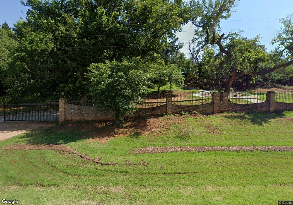
19077 State Highway 9 Anadarko, OK 73005
Estimated Value: $419,000 - $614,000
4
Beds
5
Baths
4,751
Sq Ft
$109/Sq Ft
Est. Value
About This Home
This home is located at 19077 State Highway 9, Anadarko, OK 73005 and is currently estimated at $516,500, approximately $108 per square foot. 19077 State Highway 9 is a home with nearby schools including Mission Elementary School, Sunset Elementary School, and Anadarko East Elementary School.
Ownership History
Date
Name
Owned For
Owner Type
Purchase Details
Closed on
Jun 30, 2017
Sold by
Daugherty Bartholomew Alexander and Daugherty Jodi
Bought by
Oakridge Ministries Inc
Current Estimated Value
Home Financials for this Owner
Home Financials are based on the most recent Mortgage that was taken out on this home.
Original Mortgage
$399,000
Outstanding Balance
$329,638
Interest Rate
3.95%
Mortgage Type
Future Advance Clause Open End Mortgage
Estimated Equity
$186,862
Purchase Details
Closed on
Mar 26, 2015
Bought by
Daugherty Bartholomew
Create a Home Valuation Report for This Property
The Home Valuation Report is an in-depth analysis detailing your home's value as well as a comparison with similar homes in the area
Home Values in the Area
Average Home Value in this Area
Purchase History
| Date | Buyer | Sale Price | Title Company |
|---|---|---|---|
| Oakridge Ministries Inc | $360,000 | Caddo County Abstract | |
| Daugherty Bartholomew | $315,000 | -- |
Source: Public Records
Mortgage History
| Date | Status | Borrower | Loan Amount |
|---|---|---|---|
| Open | Oakridge Ministries Inc | $399,000 |
Source: Public Records
Tax History Compared to Growth
Tax History
| Year | Tax Paid | Tax Assessment Tax Assessment Total Assessment is a certain percentage of the fair market value that is determined by local assessors to be the total taxable value of land and additions on the property. | Land | Improvement |
|---|---|---|---|---|
| 2025 | -- | $0 | $0 | $0 |
| 2024 | -- | $0 | $0 | $0 |
| 2023 | $0 | $0 | $0 | $0 |
| 2022 | $0 | $0 | $0 | $0 |
| 2021 | $0 | $0 | $0 | $0 |
| 2020 | $0 | $0 | $0 | $0 |
| 2019 | $2,626 | $0 | $0 | $0 |
| 2018 | $2,626 | $0 | $0 | $0 |
| 2017 | $2,577 | $29,464 | $1,672 | $27,792 |
| 2016 | $2,547 | $28,606 | $1,672 | $26,934 |
| 2015 | $2,294 | $27,773 | $1,672 | $26,101 |
| 2014 | $2,185 | $26,964 | $1,672 | $25,292 |
Source: Public Records
Map
Nearby Homes
- Rr N2630 Rd
- 0000 N 2630 Rd
- 0 N Highway 9 and Cs2620 Rd Unit 1195823
- 0 County Street 2650
- 202 Walter Way
- 38108 County Street 2650
- 3118 Shady Lane Dr
- 3008 Shady Lane Dr
- 3115 Shady Lane Dr
- 823 Wilshire Terrace
- 0 County Street 2620
- 33132 Square Top Rd
- 1703 S Mission St
- 1009 W Sunset Dr
- 33096 Squaretop Rd
- 1201 SW 8th St
- 807 W Colorado Ave
- 1618 S David St
- 905 SW 8th St
- 33057 Square Top Rd
- 19077 Oklahoma 9
- 19051 Oklahoma 9
- 19093 State Highway 9
- 1133 Brower Rd
- 19116 St Rt 62
- 36085 County Street 2630
- 19141 State Highway 9
- 18172 State Highway 9
- 36200 County Street 2630
- 20024 County Road 1365
- 37042 County Street 2630
- 20007 State Highway 9
- 28130 State Highway 9
- 19082 County Road 1375
- 19082 County Road 1375
- 18094 State Highway 9