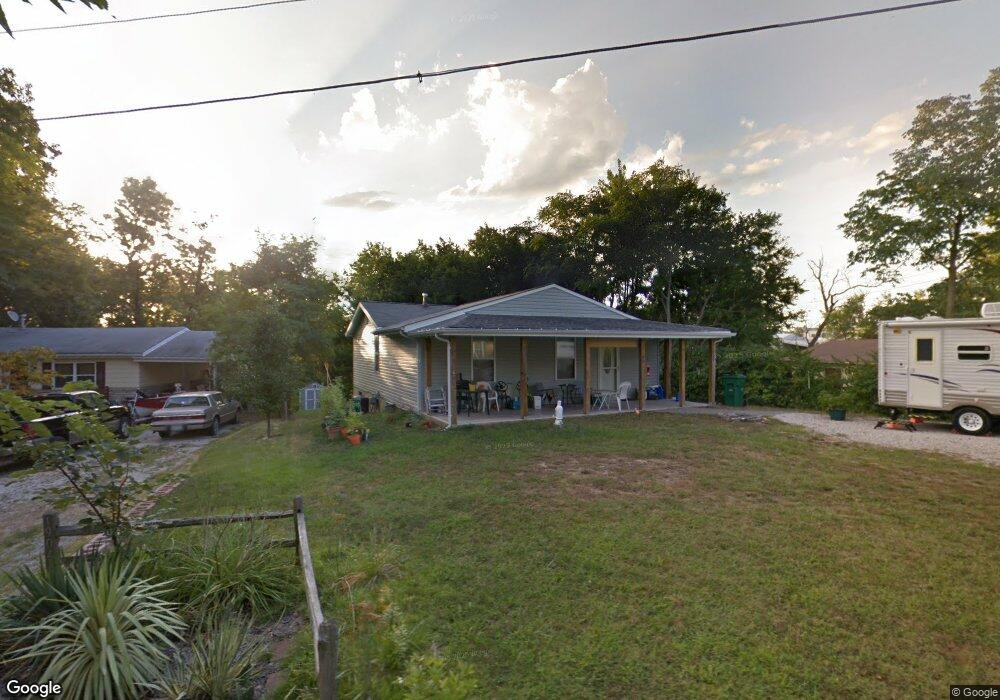
1908 Atkinson Rd High Ridge, MO 63049
Estimated Value: $137,000 - $208,000
2
Beds
1
Bath
1,280
Sq Ft
$135/Sq Ft
Est. Value
About This Home
This home is located at 1908 Atkinson Rd, High Ridge, MO 63049 and is currently estimated at $173,219, approximately $135 per square foot. 1908 Atkinson Rd is a home located in Jefferson County with nearby schools including Northwest High School, Messenger Christian School, and St. Anthony School.
Ownership History
Date
Name
Owned For
Owner Type
Purchase Details
Closed on
Nov 22, 2010
Sold by
Chonech Todd E and Chonech Maralee H
Bought by
Love Deborah J
Current Estimated Value
Home Financials for this Owner
Home Financials are based on the most recent Mortgage that was taken out on this home.
Original Mortgage
$100,000
Outstanding Balance
$65,641
Interest Rate
4.17%
Mortgage Type
New Conventional
Estimated Equity
$107,578
Purchase Details
Closed on
Aug 1, 1999
Sold by
Federal National Mortgage Association
Bought by
Spurlock Ann C
Home Financials for this Owner
Home Financials are based on the most recent Mortgage that was taken out on this home.
Original Mortgage
$42,750
Interest Rate
7.65%
Purchase Details
Closed on
Jan 13, 1999
Sold by
Sacks David L
Bought by
Chase Manhattan Mtg Corp
Create a Home Valuation Report for This Property
The Home Valuation Report is an in-depth analysis detailing your home's value as well as a comparison with similar homes in the area
Home Values in the Area
Average Home Value in this Area
Purchase History
| Date | Buyer | Sale Price | Title Company |
|---|---|---|---|
| Love Deborah J | -- | Htc | |
| Spurlock Ann C | -- | First American Title | |
| Chase Manhattan Mtg Corp | $41,446 | First American Title |
Source: Public Records
Mortgage History
| Date | Status | Borrower | Loan Amount |
|---|---|---|---|
| Open | Love Deborah J | $100,000 | |
| Previous Owner | Spurlock Ann C | $42,750 |
Source: Public Records
Tax History
| Year | Tax Paid | Tax Assessment Tax Assessment Total Assessment is a certain percentage of the fair market value that is determined by local assessors to be the total taxable value of land and additions on the property. | Land | Improvement |
|---|---|---|---|---|
| 2025 | $1,415 | $20,700 | $2,300 | $18,400 |
| 2024 | $1,415 | $19,600 | $2,300 | $17,300 |
| 2023 | $1,415 | $19,600 | $2,300 | $17,300 |
| 2022 | $1,409 | $19,600 | $2,300 | $17,300 |
| 2021 | $1,400 | $19,600 | $2,300 | $17,300 |
| 2020 | $1,288 | $17,600 | $1,900 | $15,700 |
| 2019 | $1,286 | $17,600 | $1,900 | $15,700 |
| 2018 | $1,303 | $17,600 | $1,900 | $15,700 |
| 2017 | $1,191 | $17,600 | $1,900 | $15,700 |
| 2016 | $1,079 | $15,800 | $1,700 | $14,100 |
| 2015 | $1,108 | $15,800 | $1,700 | $14,100 |
| 2013 | -- | $15,300 | $1,700 | $13,600 |
Source: Public Records
Map
Nearby Homes
- 1516 Cassie Ct
- 18 Hawk Ct
- 4824 E Golden Cir
- 1636 S Golden Cir
- 1641 S Golden Cir
- 1705 Little Brennan Rd
- 1007 San Luis Dr
- 0 Mikel Ln
- 103 E Lark Dr Unit A
- 2108 Hillsboro Valley Park Rd
- 208 Major Dr
- 1308 Birch Meadow Dr
- 1226 Kings Trail Ln
- 1237 Trails Dr
- 4118 Harbor Towne Dr
- 600 Gerries Way
- 1185 Scheel Ln
- 4305 Julie Ct
- 1570 Heritage Valley Dr
- 1635 Rockfern Dr
- 1904 Atkinson Rd
- 1912 Atkinson Rd
- 1913 Atkinson Rd
- 1912 Jo Ann Dr
- 1917 Atkinson Rd
- 1909 Jo Ann Dr
- 1920 Atkinson Rd
- 1900 Atkinson Rd
- 1904 Jo Ann Dr
- 1925 Atkinson Rd
- 1801 Jessie Cir
- 1905 Jo Ann Dr
- 1900 Jo Ann Dr
- 1805 Jessie Cir
- 1809 Jessie Cir
- 1927 Atkinson Rd
- 1924 Atkinson Rd
- 1813 Jessie Cir
- 4617 Brennan Rd
- 4619 Brennan Rd
Your Personal Tour Guide
Ask me questions while you tour the home.