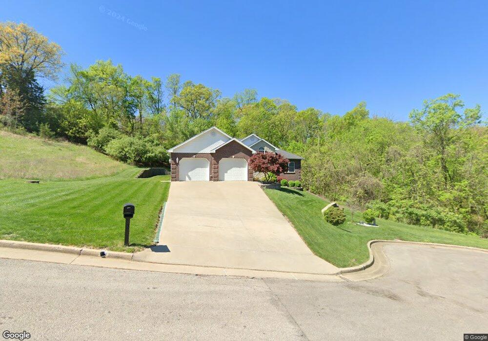
1908 Brady Dr Jefferson City, MO 65101
Estimated Value: $341,000 - $382,000
3
Beds
2
Baths
2,002
Sq Ft
$181/Sq Ft
Est. Value
About This Home
This home is located at 1908 Brady Dr, Jefferson City, MO 65101 and is currently estimated at $361,764, approximately $180 per square foot. 1908 Brady Dr is a home located in Cole County with nearby schools including Moreau Heights Elementary School, Lewis & Clark Middle School, and Jefferson City High School.
Ownership History
Date
Name
Owned For
Owner Type
Purchase Details
Closed on
Jun 21, 2021
Sold by
Chen Tung Y
Bought by
Chen Tung Y and Chen Zhejun
Current Estimated Value
Home Financials for this Owner
Home Financials are based on the most recent Mortgage that was taken out on this home.
Original Mortgage
$217,000
Interest Rate
2.2%
Mortgage Type
Stand Alone Refi Refinance Of Original Loan
Create a Home Valuation Report for This Property
The Home Valuation Report is an in-depth analysis detailing your home's value as well as a comparison with similar homes in the area
Home Values in the Area
Average Home Value in this Area
Purchase History
| Date | Buyer | Sale Price | Title Company |
|---|---|---|---|
| Chen Tung Y | -- | None Available |
Source: Public Records
Mortgage History
| Date | Status | Borrower | Loan Amount |
|---|---|---|---|
| Previous Owner | Chen Tung Y | $217,000 |
Source: Public Records
Tax History Compared to Growth
Tax History
| Year | Tax Paid | Tax Assessment Tax Assessment Total Assessment is a certain percentage of the fair market value that is determined by local assessors to be the total taxable value of land and additions on the property. | Land | Improvement |
|---|---|---|---|---|
| 2025 | $2,532 | $42,460 | $4,940 | $37,520 |
| 2024 | $2,532 | $42,460 | $4,940 | $37,520 |
| 2023 | $2,533 | $42,460 | $4,940 | $37,520 |
| 2022 | $2,413 | $40,340 | $0 | $40,340 |
| 2021 | $2,427 | $40,340 | $0 | $40,340 |
| 2020 | $2,456 | $42,997 | $4,940 | $38,057 |
| 2019 | $2,389 | $43,035 | $4,940 | $38,095 |
| 2018 | $2,385 | $41,135 | $4,940 | $36,195 |
| 2017 | $2,329 | $40,337 | $4,940 | $35,397 |
| 2016 | -- | $40,337 | $4,940 | $35,397 |
| 2015 | $1,991 | $0 | $0 | $0 |
| 2014 | $1,991 | $40,337 | $4,940 | $35,397 |
Source: Public Records
Map
Nearby Homes
- 0 Eastland (Lots 338 339 340) Dr Unit 10066899
- 0 Eastland (Lot 361) Dr Unit 10065799
- 0 Schotthill Woods Dr
- 1635 Seven Hills Rd
- 425 Cedar Creek Ct
- 1422 E Miller St
- 0 Eastland Dr
- 321 Joe Ln
- 1606 E Mccarty St
- 1233 E Dunklin St Unit A&B
- 0 Rolling Hills Rd
- 1219 Cottage Ln
- 1403 E Mccarty St
- 337 David St
- 1820 Green Berry Rd
- 1105 Moreau Dr
- 1125 Madeline St
- 0 David St
- 1114 Moreau Dr
- 1828 Green Berry Rd
- 1912 Brady Dr
- 1903 Bald Hill Rd
- 1907 Bald Hill Rd
- 1911 Bald Hill Rd
- 1903 Brady Dr
- 1907 Brady Dr
- 1916 Brady Dr
- 1911 Brady Dr
- 1904 Bald Hill Rd
- 1823 Bald Hill Rd
- 1910 Bald Hill Rd
- 1915 Brady Dr
- 1919 Bald Hill Rd
- 1920 Brady Dr
- 1813 Del Cerro Dr
- 1811 Del Cerro Dr
- 1807 Del Cerro Dr
- 1817 Del Cerro Dr
- 1803 Del Cerro Dr
- 1819 Bald Hill Rd