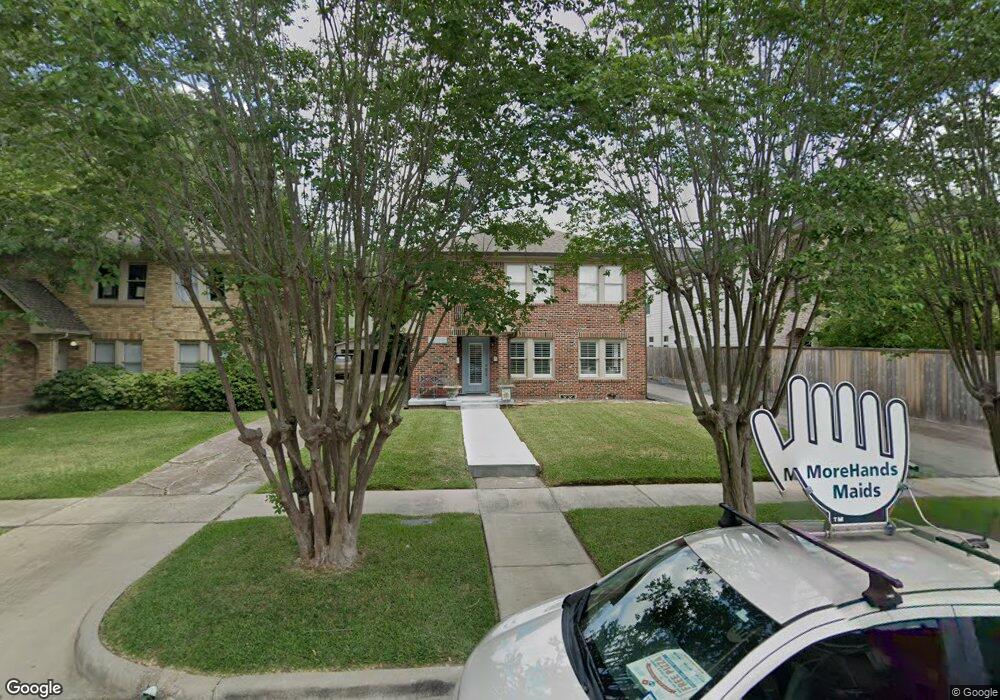
1908 Marshall St Unit 1/2 Houston, TX 77098
Montrose NeighborhoodEstimated Value: $710,000
1
Bed
1
Bath
760
Sq Ft
$934/Sq Ft
Est. Value
About This Home
This home is located at 1908 Marshall St Unit 1/2, Houston, TX 77098 and is currently estimated at $710,000, approximately $934 per square foot. 1908 Marshall St Unit 1/2 is a home located in Harris County with nearby schools including Baker Montessori, Lanier Middle School, and Lamar High School.
Ownership History
Date
Name
Owned For
Owner Type
Purchase Details
Closed on
Sep 26, 2017
Sold by
Anderson Newell Dwayne
Bought by
Anderson Newell Dwayne and The Newell Dwayne Anderson Trust
Current Estimated Value
Purchase Details
Closed on
Jul 25, 2011
Sold by
Anderson Newell
Bought by
Anderson Newell D and The Anderson Family Trust
Purchase Details
Closed on
Apr 4, 2002
Sold by
Anderson N D
Bought by
The Anderson Living Trust
Create a Home Valuation Report for This Property
The Home Valuation Report is an in-depth analysis detailing your home's value as well as a comparison with similar homes in the area
Home Values in the Area
Average Home Value in this Area
Purchase History
| Date | Buyer | Sale Price | Title Company |
|---|---|---|---|
| Anderson Newell Dwayne | -- | None Available | |
| Anderson Newell D | -- | None Available | |
| Anderson Newell | -- | None Available | |
| The Anderson Living Trust | -- | -- |
Source: Public Records
Tax History Compared to Growth
Tax History
| Year | Tax Paid | Tax Assessment Tax Assessment Total Assessment is a certain percentage of the fair market value that is determined by local assessors to be the total taxable value of land and additions on the property. | Land | Improvement |
|---|---|---|---|---|
| 2025 | $15,825 | -- | -- | -- |
| 2024 | $15,825 | $756,323 | $687,500 | $68,823 |
| 2023 | $15,825 | $708,500 | $687,500 | $21,000 |
| 2022 | $15,600 | $708,500 | $500,000 | $208,500 |
| 2021 | $15,309 | $656,840 | $500,000 | $156,840 |
| 2020 | $16,072 | $663,715 | $500,000 | $163,715 |
| 2019 | $15,866 | $627,000 | $500,000 | $127,000 |
| 2018 | $14,424 | $570,000 | $468,750 | $101,250 |
| 2017 | $15,667 | $590,408 | $468,750 | $121,658 |
| 2016 | $15,391 | $580,000 | $406,250 | $173,750 |
| 2015 | $10,925 | $593,500 | $406,250 | $187,250 |
| 2014 | $10,925 | $461,825 | $375,000 | $86,825 |
Source: Public Records
Map
Nearby Homes
- 1849 Marshall St Unit 19
- 1912 Kipling St
- 1924 Kipling St
- 1841 Marshall St Unit 4
- 1844 W Alabama St
- 1842 W Alabama St
- 1817 Kipling St
- 2025 W Alabama St
- 3902 Hazard St
- 3702 Woodhead St
- 1802 Kipling St
- 1900 Hawthorne St
- 1916 Hawthorne St
- 1755 Kipling St
- 2044 Branard St
- 2027 Branard St
- 1819 Branard St
- 2120 Kipling St Unit 208
- 2120 Kipling St Unit 304
- 2505 Mcduffie St Unit B
- 1908 Marshall St
- 1908 Marshall St Unit 2
- 1908 Marshall St Unit 1
- 1910 Marshall St
- 3614 Hazard St
- 1912 Marshall St
- 1914 Marshall St
- 1916 Marshall St
- 1905 Kipling St
- 1913 Kipling St
- 1913 Kipling St Unit A
- 1901 Kipling St
- 1911 Kipling St
- 1915 Kipling St
- 1856 Marshall St
- 1858 Marshall St
- 1905 Marshall St
- 1911 Marshall St
- 1901 Marshall St
- 1919 Kipling St