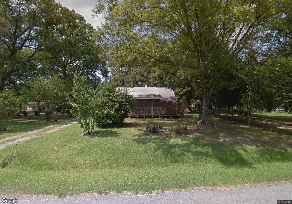
1908 Sherron Rd Durham, NC 27703
Eastern Durham NeighborhoodEstimated Value: $350,564 - $393,000
2
Beds
1
Bath
992
Sq Ft
$375/Sq Ft
Est. Value
About This Home
This home is located at 1908 Sherron Rd, Durham, NC 27703 and is currently estimated at $372,391, approximately $375 per square foot. 1908 Sherron Rd is a home located in Durham County with nearby schools including Spring Valley Elementary School, John W Neal Middle School, and Southern School of Energy & Sustainability.
Ownership History
Date
Name
Owned For
Owner Type
Purchase Details
Closed on
Oct 19, 2017
Sold by
Fick Shirley Koberlein
Bought by
Felts Brandy M
Current Estimated Value
Home Financials for this Owner
Home Financials are based on the most recent Mortgage that was taken out on this home.
Original Mortgage
$96,000
Outstanding Balance
$50,852
Interest Rate
3.08%
Mortgage Type
New Conventional
Estimated Equity
$321,539
Purchase Details
Closed on
Oct 8, 1998
Sold by
Hocutt Coy David and Hocutt Shirley H
Bought by
Koberlein William Emerson
Home Financials for this Owner
Home Financials are based on the most recent Mortgage that was taken out on this home.
Original Mortgage
$80,000
Interest Rate
6.95%
Mortgage Type
Purchase Money Mortgage
Create a Home Valuation Report for This Property
The Home Valuation Report is an in-depth analysis detailing your home's value as well as a comparison with similar homes in the area
Home Values in the Area
Average Home Value in this Area
Purchase History
| Date | Buyer | Sale Price | Title Company |
|---|---|---|---|
| Felts Brandy M | $120,000 | None Available | |
| Koberlein William Emerson | $104,000 | -- |
Source: Public Records
Mortgage History
| Date | Status | Borrower | Loan Amount |
|---|---|---|---|
| Open | Felts Brandy M | $96,000 | |
| Previous Owner | Koberlein William Emerson | $80,000 |
Source: Public Records
Tax History
| Year | Tax Paid | Tax Assessment Tax Assessment Total Assessment is a certain percentage of the fair market value that is determined by local assessors to be the total taxable value of land and additions on the property. | Land | Improvement |
|---|---|---|---|---|
| 2025 | $2,686 | $363,042 | $156,128 | $206,914 |
| 2024 | $2,021 | $182,184 | $66,810 | $115,374 |
| 2023 | $1,932 | $182,184 | $66,810 | $115,374 |
| 2022 | $1,859 | $182,184 | $66,810 | $115,374 |
| 2021 | $1,598 | $182,184 | $66,810 | $115,374 |
| 2020 | $1,561 | $182,104 | $66,730 | $115,374 |
| 2019 | $1,543 | $182,104 | $66,730 | $115,374 |
| 2018 | $1,047 | $113,436 | $43,430 | $70,006 |
| 2017 | $1,013 | $113,436 | $43,430 | $70,006 |
| 2016 | $982 | $113,436 | $43,430 | $70,006 |
| 2015 | $876 | $79,845 | $35,246 | $44,599 |
| 2014 | $880 | $79,845 | $35,246 | $44,599 |
Source: Public Records
Map
Nearby Homes
- 1821 S Mineral Springs Rd
- 533 Kings Lake Way
- 500 Kings Lake Way
- 1020 Constellation Cir
- 3205 Gypsum Dr
- 727A Peyton Ave
- 3207 Gypsum Dr
- 3210 Gypsum Dr
- 3212 Gypsum Dr
- 3211 Gypsum Dr
- 3214 Gypsum Dr
- 3213 Gypsum Dr
- 3216 Gypsum Dr
- 3215 Opal Dr
- 3218 Gypsum Dr
- 3215 Gypsum Dr
- 3217 Opal Dr
- 3217 Gypsum Dr
- 3220 Gypsum Dr
- 2203 Mica Ridge Ln
- 1824 Sherron Rd
- 1914 Sherron Rd
- 1918 Sherron Rd
- 1920 Sherron Rd
- 1911 S Mineral Springs Rd
- 1926 Sherron Rd
- 5 Wooten Ct
- 7 Wooten Ct
- 1802 Sherron Rd
- 3 Wooten Ct
- 6 Wooten Ct
- 1824 S Mineral Springs Rd
- 1814 S Mineral Springs Rd
- 1914 S Mineral Springs Rd
- 6 Pearl Mill Ct
- 1809 S Mineral Springs Rd
- 4 Pearl Mill Ct
- 1904 Pattersons Mill Rd
- 1906 Pattersons Mill Rd
- 1902 Pattersons Mill Rd
Your Personal Tour Guide
Ask me questions while you tour the home.