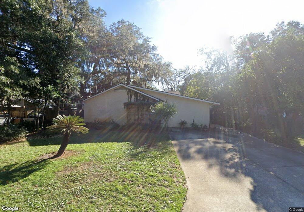
1909 2nd Ave Saint Simons Island, GA 31522
Estimated Value: $490,000 - $807,000
3
Beds
3
Baths
2,200
Sq Ft
$285/Sq Ft
Est. Value
About This Home
This home is located at 1909 2nd Ave, Saint Simons Island, GA 31522 and is currently estimated at $626,469, approximately $284 per square foot. 1909 2nd Ave is a home located in Glynn County with nearby schools including St. Simons Elementary School, Glynn Middle School, and Glynn Academy.
Ownership History
Date
Name
Owned For
Owner Type
Purchase Details
Closed on
May 10, 2021
Sold by
Barnes Gwendolyn W
Bought by
Barnes Robert M
Current Estimated Value
Home Financials for this Owner
Home Financials are based on the most recent Mortgage that was taken out on this home.
Original Mortgage
$229,568
Outstanding Balance
$208,046
Interest Rate
3.1%
Mortgage Type
New Conventional
Estimated Equity
$418,423
Create a Home Valuation Report for This Property
The Home Valuation Report is an in-depth analysis detailing your home's value as well as a comparison with similar homes in the area
Home Values in the Area
Average Home Value in this Area
Purchase History
| Date | Buyer | Sale Price | Title Company |
|---|---|---|---|
| Barnes Robert M | -- | -- | |
| Barnes Sally | $286,960 | -- |
Source: Public Records
Mortgage History
| Date | Status | Borrower | Loan Amount |
|---|---|---|---|
| Open | Barnes Sally | $229,568 | |
| Closed | Barnes Robert M | $229,568 |
Source: Public Records
Tax History Compared to Growth
Tax History
| Year | Tax Paid | Tax Assessment Tax Assessment Total Assessment is a certain percentage of the fair market value that is determined by local assessors to be the total taxable value of land and additions on the property. | Land | Improvement |
|---|---|---|---|---|
| 2025 | $5,199 | $207,320 | $86,400 | $120,920 |
| 2024 | $3,930 | $156,720 | $86,400 | $70,320 |
| 2023 | $3,470 | $156,720 | $86,400 | $70,320 |
| 2022 | $3,835 | $174,040 | $86,400 | $87,640 |
| 2021 | $1,177 | $172,360 | $86,400 | $85,960 |
| 2020 | $1,186 | $120,520 | $34,560 | $85,960 |
| 2019 | $1,186 | $120,520 | $34,560 | $85,960 |
| 2018 | $1,186 | $120,520 | $34,560 | $85,960 |
| 2017 | $1,186 | $109,080 | $34,560 | $74,520 |
| 2016 | $1,111 | $97,600 | $34,560 | $63,040 |
| 2015 | $1,120 | $82,720 | $34,560 | $48,160 |
| 2014 | $1,120 | $87,040 | $38,880 | $48,160 |
Source: Public Records
Map
Nearby Homes
- 1912 1st Ave
- 1915 2nd Ave
- 113 Peachtree St
- 220 Tennessee Ave
- 11822 Old Demere Rd
- 203 Grand Oaks Cir
- 238 Broadway St
- 103 Cater St
- 239 Broadway St
- 118 Grand Oaks Ln
- 23 Fred Dr
- 240 Peachtree St
- 239 Georgia St
- 10 Fern Ln
- 135 Stewart St
- 1704 Frederica Rd Unit 237
- 1704 Frederica Rd Unit 602
- 1704 Frederica Rd Unit 621
- 1704 Frederica Rd Unit 628 + 31 garage
- 1704 Frederica Rd Unit 723