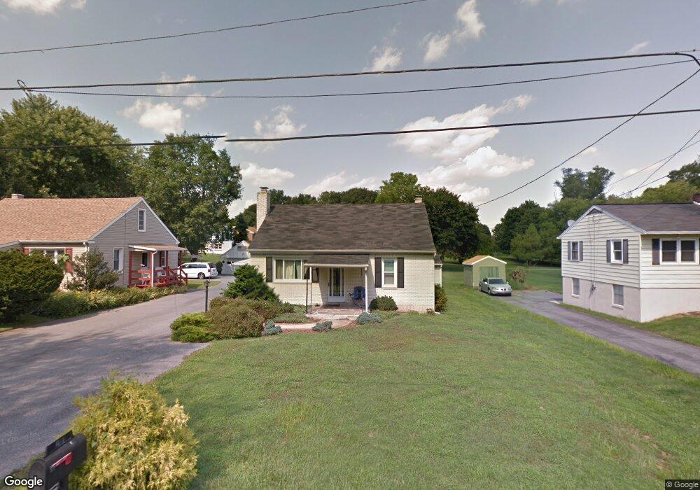
1909 Barton Dr Lancaster, PA 17603
Meadia Heights NeighborhoodEstimated Value: $254,000 - $311,000
2
Beds
1
Bath
1,260
Sq Ft
$224/Sq Ft
Est. Value
About This Home
This home is located at 1909 Barton Dr, Lancaster, PA 17603 and is currently estimated at $282,268, approximately $224 per square foot. 1909 Barton Dr is a home located in Lancaster County with nearby schools including Elizabeth R Martin Elementary School, Wheatland Middle School, and McCaskey High School.
Ownership History
Date
Name
Owned For
Owner Type
Purchase Details
Closed on
Apr 24, 2006
Sold by
Flowers Cathy L
Bought by
Helm Ryan E and Helm Kyle N
Current Estimated Value
Home Financials for this Owner
Home Financials are based on the most recent Mortgage that was taken out on this home.
Original Mortgage
$104,000
Outstanding Balance
$59,903
Interest Rate
6.4%
Mortgage Type
Purchase Money Mortgage
Estimated Equity
$222,365
Create a Home Valuation Report for This Property
The Home Valuation Report is an in-depth analysis detailing your home's value as well as a comparison with similar homes in the area
Home Values in the Area
Average Home Value in this Area
Purchase History
| Date | Buyer | Sale Price | Title Company |
|---|---|---|---|
| Helm Ryan E | $130,000 | None Available |
Source: Public Records
Mortgage History
| Date | Status | Borrower | Loan Amount |
|---|---|---|---|
| Open | Helm Ryan E | $104,000 |
Source: Public Records
Tax History Compared to Growth
Tax History
| Year | Tax Paid | Tax Assessment Tax Assessment Total Assessment is a certain percentage of the fair market value that is determined by local assessors to be the total taxable value of land and additions on the property. | Land | Improvement |
|---|---|---|---|---|
| 2025 | $4,213 | $146,100 | $50,800 | $95,300 |
| 2024 | $4,213 | $146,100 | $50,800 | $95,300 |
| 2023 | $4,116 | $146,100 | $50,800 | $95,300 |
| 2022 | $3,871 | $146,100 | $50,800 | $95,300 |
| 2021 | $3,754 | $146,100 | $50,800 | $95,300 |
| 2020 | $3,754 | $146,100 | $50,800 | $95,300 |
| 2019 | $3,674 | $146,100 | $50,800 | $95,300 |
| 2018 | $2,679 | $146,100 | $50,800 | $95,300 |
| 2017 | $3,518 | $107,600 | $37,200 | $70,400 |
| 2016 | $3,453 | $107,600 | $37,200 | $70,400 |
| 2015 | $466 | $107,600 | $37,200 | $70,400 |
| 2014 | $2,443 | $107,600 | $37,200 | $70,400 |
Source: Public Records
Map
Nearby Homes
- 2460 Honeysuckle Ln
- 10 Hull Ct
- 2440 Water Valley Rd
- 129 Goldenfield Dr
- 124 Hillard Field
- 113 Hillard Field
- 112 Hillard Field
- 111 Hillard Field
- 115 Hillard
- 109 Hillard
- 15 Circle Rd
- 60 Fresh Meadow Dr
- 103 Gentlemens Way
- 134 Gentlemens Way
- 23 Deerfield Rd
- 356 Landis Ave
- 1834 Spring Ridge Ln
- 49 Mill Pond Dr
- 1765 Betz Farm Dr
- 645 N Pier Dr
- 1905 Barton Dr
- 1911 Barton Dr
- 1901 Barton Dr
- 1919 Barton Dr
- 2502 Honeysuckle Ln
- 1906 Barton Dr
- 1910 Barton Dr
- 2480 Honeysuckle Ln
- 1914 Barton Dr
- 1923 Barton Dr
- 1916 Barton Dr
- 2506 Honeysuckle Ln
- 1924 Barton Dr
- 2508 Honeysuckle Ln
- 1950 Barton Dr
- 2520 Honeysuckle Ln
- 2530 Honeysuckle Ln
- 2540 Honeysuckle Ln
- 2450 Honeysuckle Ln
- 2550 Honeysuckle Ln