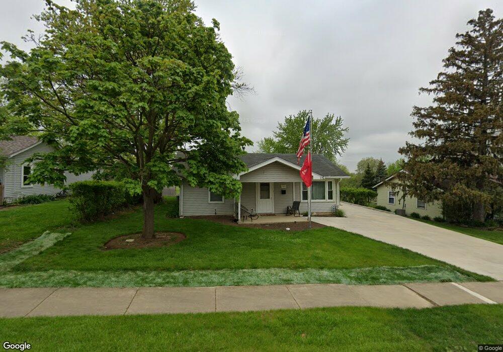
1909 Cowing Ln Unit 2 Crest Hill, IL 60403
Cunningham NeighborhoodEstimated Value: $249,000 - $282,000
3
Beds
1
Bath
1,475
Sq Ft
$184/Sq Ft
Est. Value
About This Home
This home is located at 1909 Cowing Ln Unit 2, Crest Hill, IL 60403 and is currently estimated at $270,693, approximately $183 per square foot. 1909 Cowing Ln Unit 2 is a home located in Will County with nearby schools including Chaney Elementary School, Lockport Township High School East, and Cathedral Of St Raymond School.
Ownership History
Date
Name
Owned For
Owner Type
Purchase Details
Closed on
May 27, 1999
Sold by
Davis John and Davis Lisa
Bought by
Morgan Douglas R and Morgan Jolene S
Current Estimated Value
Home Financials for this Owner
Home Financials are based on the most recent Mortgage that was taken out on this home.
Original Mortgage
$105,060
Outstanding Balance
$27,411
Interest Rate
6.92%
Mortgage Type
VA
Estimated Equity
$243,282
Create a Home Valuation Report for This Property
The Home Valuation Report is an in-depth analysis detailing your home's value as well as a comparison with similar homes in the area
Home Values in the Area
Average Home Value in this Area
Purchase History
| Date | Buyer | Sale Price | Title Company |
|---|---|---|---|
| Morgan Douglas R | $103,000 | -- |
Source: Public Records
Mortgage History
| Date | Status | Borrower | Loan Amount |
|---|---|---|---|
| Open | Morgan Douglas R | $105,060 |
Source: Public Records
Tax History Compared to Growth
Tax History
| Year | Tax Paid | Tax Assessment Tax Assessment Total Assessment is a certain percentage of the fair market value that is determined by local assessors to be the total taxable value of land and additions on the property. | Land | Improvement |
|---|---|---|---|---|
| 2024 | $5,811 | $81,902 | $20,917 | $60,985 |
| 2023 | $5,811 | $73,527 | $18,778 | $54,749 |
| 2022 | $4,933 | $63,991 | $16,342 | $47,649 |
| 2021 | $4,669 | $60,137 | $15,358 | $44,779 |
| 2020 | $4,564 | $58,160 | $14,853 | $43,307 |
| 2019 | $4,315 | $55,128 | $14,079 | $41,049 |
| 2018 | $3,927 | $49,549 | $12,655 | $36,894 |
| 2017 | $3,777 | $46,776 | $11,947 | $34,829 |
| 2016 | $3,497 | $43,839 | $11,197 | $32,642 |
| 2015 | $2,805 | $37,329 | $10,654 | $26,675 |
| 2014 | $2,805 | $34,887 | $9,957 | $24,930 |
| 2013 | $2,805 | $35,599 | $10,160 | $25,439 |
Source: Public Records
Map
Nearby Homes
- 1922 Cowing Ln
- 1905 Innercircle Dr
- 1817 Kelly Ave
- 1618 Innercircle Dr
- 1621 Innercircle Dr Unit 1
- 1901 Wilcox St
- 1609 Marlboro Ln
- 1514 Hosmer St
- 1310 Harvest Dr
- Vacant Heiden Ave
- 1425 Frederick St
- 1616 Heiden Ave
- 1339 Harvest Dr
- 521 Chaney Ave
- 513 Chaney Ave
- 1822 Barthelone Ave
- 1204 Boston Ave
- 1429 Berta Dr Unit 2W
- 1804 Willow Circle Dr Unit D
- 901 Norley Ave
- 1907 Cowing Ln
- 1911 Cowing Ln
- 1913 Cowing Ln
- 1905 Cowing Ln
- 1908 Cowing Ln
- 1910 Cowing Ln
- 1906 Cowing Ln
- 1915 Cowing Ln
- 1904 Cowing Ln
- 1912 Cowing Ln Unit 2
- 1823 Burry Circle Dr
- 1901 Cowing Ln Unit 2
- 1902 Cowing Ln
- 1917 Cowing Ln
- 1821 Burry Circle Dr
- 1914 Cowing Ln
- 1819 Burry Circle Dr
- 1827 Burry Circle Dr
- 1857 Waverly Ct
- 1919 Cowing Ln