Estimated Value: $367,000 - $430,000
4
Beds
3
Baths
3,166
Sq Ft
$125/Sq Ft
Est. Value
About This Home
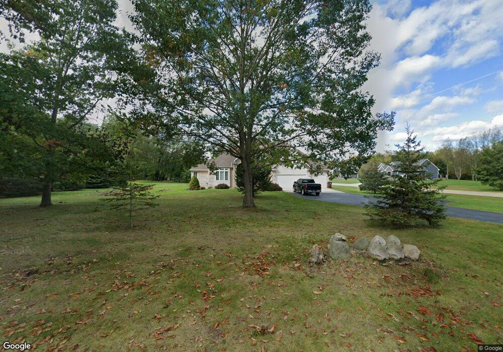
This home is located at 1909 Gunn Rd, Holt, MI 48842 and is currently estimated at $394,258, approximately $124 per square foot. 1909 Gunn Rd is a home located in Ingham County with nearby schools including Horizon Elementary School, Washington Woods Middle School, and Holt Junior High School.
Ownership History
Date
Name
Owned For
Owner Type
Purchase Details
Closed on
Dec 4, 2015
Sold by
Lewis Malvrick O and Lewis Malvrick
Bought by
Lewis Mavlrick O and Truman Dianna
Current Estimated Value
Purchase Details
Closed on
Jan 28, 2002
Sold by
Lewis Daurice
Bought by
Lewis Malvrick O and Lewis Malvrick
Home Financials for this Owner
Home Financials are based on the most recent Mortgage that was taken out on this home.
Original Mortgage
$252,000
Outstanding Balance
$104,935
Interest Rate
7.16%
Mortgage Type
Purchase Money Mortgage
Estimated Equity
$289,323
Create a Home Valuation Report for This Property
The Home Valuation Report is an in-depth analysis detailing your home's value as well as a comparison with similar homes in the area
Home Values in the Area
Average Home Value in this Area
Purchase History
| Date | Buyer | Sale Price | Title Company |
|---|---|---|---|
| Lewis Mavlrick O | -- | Servicelink | |
| Lewis Malvrick O | -- | First American Title Ins Co |
Source: Public Records
Mortgage History
| Date | Status | Borrower | Loan Amount |
|---|---|---|---|
| Open | Lewis Malvrick O | $252,000 |
Source: Public Records
Tax History Compared to Growth
Tax History
| Year | Tax Paid | Tax Assessment Tax Assessment Total Assessment is a certain percentage of the fair market value that is determined by local assessors to be the total taxable value of land and additions on the property. | Land | Improvement |
|---|---|---|---|---|
| 2025 | $7,817 | $197,000 | $18,300 | $178,700 |
| 2024 | $7,298 | $184,300 | $18,300 | $166,000 |
| 2023 | $7,298 | $171,800 | $20,300 | $151,500 |
| 2022 | $6,937 | $158,500 | $13,800 | $144,700 |
| 2021 | $6,779 | $149,800 | $12,200 | $137,600 |
| 2020 | $6,871 | $140,200 | $12,200 | $128,000 |
| 2019 | $6,619 | $135,600 | $12,200 | $123,400 |
| 2018 | $6,580 | $125,300 | $11,000 | $114,300 |
| 2017 | $6,079 | $125,300 | $11,000 | $114,300 |
| 2016 | $6,025 | $125,800 | $11,000 | $114,800 |
| 2015 | $5,938 | $123,200 | $22,052 | $101,148 |
| 2014 | $5,938 | $120,300 | $24,322 | $95,978 |
Source: Public Records
Map
Nearby Homes
- 1946 Gunn Rd
- 5386 Auben Ln
- 5360 Holt Rd
- 1800 N Onondaga Rd
- 1820 Merganser Dr
- 1819 Merganser Dr
- 1931 Nightingale Dr
- 1812 Hollowbrook Dr
- The Newton Plan at Meadow Ridge
- The Windsor Plan at Meadow Ridge
- The Hickory Plan at Meadow Ridge
- The Hatfield Plan at Meadow Ridge
- The Norway Plan at Meadow Ridge
- The Waverly Plan at Meadow Ridge
- The Westfield Plan at Meadow Ridge
- The Nantucket Plan at Meadow Ridge
- The Hartwell Plan at Meadow Ridge
- 1851 Hollowbrook Dr
- 1915 Hollowbrook Dr
- 2134 Cedar Bend Dr