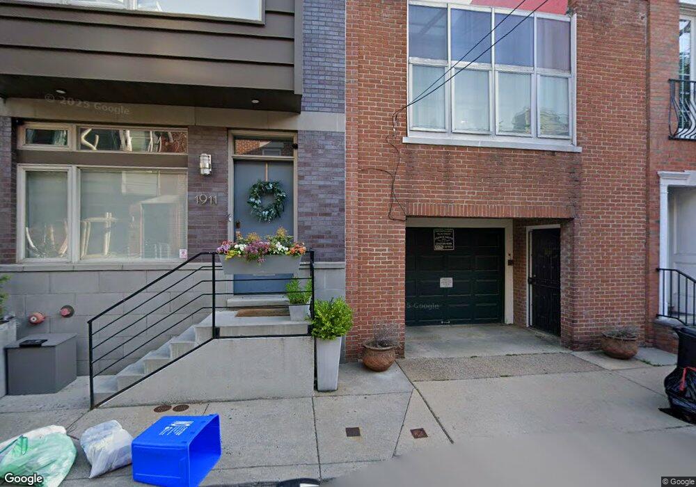
1909 Kater St Philadelphia, PA 19146
Southwest Center City NeighborhoodEstimated Value: $595,439 - $797,000
3
Beds
2
Baths
1,458
Sq Ft
$467/Sq Ft
Est. Value
About This Home
This home is located at 1909 Kater St, Philadelphia, PA 19146 and is currently estimated at $680,860, approximately $466 per square foot. 1909 Kater St is a home located in Philadelphia County with nearby schools including Albert M Greenfield School, Benjamin Franklin High School, and Independence Charter School.
Ownership History
Date
Name
Owned For
Owner Type
Purchase Details
Closed on
Apr 17, 2002
Sold by
Kirkland S Narelle
Bought by
Rosenfeld Judith S Malis
Current Estimated Value
Home Financials for this Owner
Home Financials are based on the most recent Mortgage that was taken out on this home.
Original Mortgage
$166,500
Outstanding Balance
$69,219
Interest Rate
6.85%
Estimated Equity
$611,641
Create a Home Valuation Report for This Property
The Home Valuation Report is an in-depth analysis detailing your home's value as well as a comparison with similar homes in the area
Home Values in the Area
Average Home Value in this Area
Purchase History
| Date | Buyer | Sale Price | Title Company |
|---|---|---|---|
| Rosenfeld Judith S Malis | $185,000 | First American Title Ins Co |
Source: Public Records
Mortgage History
| Date | Status | Borrower | Loan Amount |
|---|---|---|---|
| Open | Rosenfeld Judith S Malis | $166,500 |
Source: Public Records
Tax History Compared to Growth
Tax History
| Year | Tax Paid | Tax Assessment Tax Assessment Total Assessment is a certain percentage of the fair market value that is determined by local assessors to be the total taxable value of land and additions on the property. | Land | Improvement |
|---|---|---|---|---|
| 2025 | $2,881 | $599,400 | $119,880 | $479,520 |
| 2024 | $2,881 | $599,400 | $119,880 | $479,520 |
| 2023 | $2,881 | $551,100 | $110,200 | $440,900 |
| 2022 | $2,881 | $205,800 | $110,200 | $95,600 |
| 2021 | $2,881 | $0 | $0 | $0 |
| 2020 | $2,881 | $0 | $0 | $0 |
| 2019 | $2,881 | $0 | $0 | $0 |
| 2018 | $2,881 | $0 | $0 | $0 |
| 2017 | $2,881 | $0 | $0 | $0 |
| 2016 | $2,881 | $0 | $0 | $0 |
| 2015 | $20,109 | $0 | $0 | $0 |
| 2014 | -- | $286,600 | $52,888 | $233,712 |
| 2012 | -- | $21,952 | $4,391 | $17,561 |
Source: Public Records
Map
Nearby Homes
- 1924 South St
- 1905 Rodman St
- 1917 Rodman St
- 705-07 S 20th St Unit A
- 2005 Kater St
- 1815 Bainbridge St Unit 1
- 719 S 19th St
- 726 S 19th St
- 1934 Lombard St
- 725 S 19th St
- 1811 Fitzwater St Unit E
- 1740 Naudain St
- 1731 Bainbridge St
- 2002 Waverly St
- 2033 Naudain St
- 2004 Waverly St
- 1725 South St
- 1727 Fitzwater St Unit B
- 768 S Martin St
- 1723 Fitzwater St Unit B
- 1907 Kater St
- 1911 Kater St
- 1905 Kater St
- 1913 Kater St
- 1915 Kater St
- 1903 Kater St
- 1910 South St Unit 1
- 1910 South St
- 1908 South St
- 1917 Kater St
- 1901 Kater St
- 1904 Kater St
- 1902 Kater St
- 1906 Kater St
- 1904 South St
- 1904 South St Unit 2FRONT
- 1904 South St Unit 2M
- 1904 South St Unit 2F
- 1904 South St Unit 1ST FLOOR
- 1904 South St Unit 2ND FLOOR
