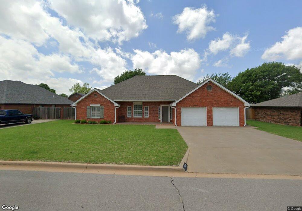
1909 Linwood St Weatherford, OK 73096
Estimated Value: $303,000 - $336,000
3
Beds
2
Baths
2,117
Sq Ft
$149/Sq Ft
Est. Value
About This Home
This home is located at 1909 Linwood St, Weatherford, OK 73096 and is currently estimated at $314,797, approximately $148 per square foot. 1909 Linwood St is a home located in Custer County with nearby schools including Burcham Elementary School, Lt. General Thomas P. Stafford Elementary School, and Weatherford West Elementary School.
Ownership History
Date
Name
Owned For
Owner Type
Purchase Details
Closed on
Nov 19, 2007
Sold by
Cartus Financial Corp
Bought by
Gary Williams
Current Estimated Value
Purchase Details
Closed on
Nov 9, 2007
Sold by
Corby L Elkin
Bought by
Cartus Financial Corp
Purchase Details
Closed on
Oct 15, 2004
Sold by
Terry D Smith
Bought by
Corby L Elkin
Purchase Details
Closed on
Jul 5, 1995
Sold by
Saber Inc
Bought by
Terry D Smith
Create a Home Valuation Report for This Property
The Home Valuation Report is an in-depth analysis detailing your home's value as well as a comparison with similar homes in the area
Home Values in the Area
Average Home Value in this Area
Purchase History
| Date | Buyer | Sale Price | Title Company |
|---|---|---|---|
| Gary Williams | $200,000 | -- | |
| Cartus Financial Corp | $200,000 | -- | |
| Corby L Elkin | $175,000 | -- | |
| Terry D Smith | $10,300 | -- |
Source: Public Records
Tax History Compared to Growth
Tax History
| Year | Tax Paid | Tax Assessment Tax Assessment Total Assessment is a certain percentage of the fair market value that is determined by local assessors to be the total taxable value of land and additions on the property. | Land | Improvement |
|---|---|---|---|---|
| 2025 | $2,663 | $26,342 | $1,861 | $24,481 |
| 2024 | $2,663 | $28,003 | $1,861 | $26,142 |
| 2023 | $2,663 | $28,192 | $1,861 | $26,331 |
| 2022 | $2,616 | $28,192 | $1,861 | $26,331 |
| 2021 | $2,621 | $28,022 | $1,861 | $26,161 |
| 2020 | $2,641 | $27,206 | $1,861 | $25,345 |
| 2019 | $2,587 | $26,414 | $1,861 | $24,553 |
| 2018 | $2,460 | $27,583 | $1,676 | $25,907 |
| 2017 | $2,429 | $26,779 | $1,855 | $24,924 |
| 2016 | $2,378 | $26,000 | $1,782 | $24,218 |
| 2015 | $2,340 | $25,242 | $1,725 | $23,517 |
| 2014 | $2,264 | $24,507 | $1,598 | $22,909 |
Source: Public Records
Map
Nearby Homes
- 1905 Linwood St
- 1908 Kristie Ln
- 1917 Linwood St
- 1912 Kristie Ln
- 1904 Kristie Ln
- 1908 Linwood St
- 1912 Linwood St
- 1904 Linwood St
- 1829 Linwood St
- 1916 Kristie Ln
- 1900 Kristie Ln
- 1900 Linwood St
- 1916 Linwood St
- 1828 Linwood St
- 1824 Kristie Ln
- 1525 Chisholm Trail
- 1909 Pamela Ln
- 1905 Kristie Ln
- 1521 Chisholm Trail
- 1529 Chisholm Trail