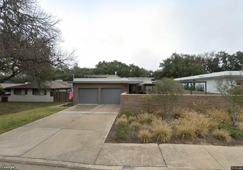
1909 Rabb Rd Unit B Austin, TX 78704
Zilker NeighborhoodEstimated Value: $1,586,975 - $1,783,000
2
Beds
1
Bath
875
Sq Ft
$1,909/Sq Ft
Est. Value
About This Home
This home is located at 1909 Rabb Rd Unit B, Austin, TX 78704 and is currently estimated at $1,670,244, approximately $1,908 per square foot. 1909 Rabb Rd Unit B is a home located in Travis County with nearby schools including Zilker Elementary School, O Henry Middle School, and Austin High School.
Ownership History
Date
Name
Owned For
Owner Type
Purchase Details
Closed on
Nov 20, 2020
Sold by
Brandt Holly and Brandt Thomas M
Bought by
Grunnah Robert
Current Estimated Value
Home Financials for this Owner
Home Financials are based on the most recent Mortgage that was taken out on this home.
Original Mortgage
$1,128,000
Outstanding Balance
$1,003,760
Interest Rate
2.8%
Mortgage Type
New Conventional
Estimated Equity
$666,484
Purchase Details
Closed on
Apr 1, 2009
Sold by
Davis Byargeon Limited Partnership #1
Bought by
Brandt Holly
Purchase Details
Closed on
Mar 16, 2009
Sold by
Davis Lisa Ann and Walker Mary Lynn Davis
Bought by
Davis Lisa Ann and Walker Mary Lynn Davis
Create a Home Valuation Report for This Property
The Home Valuation Report is an in-depth analysis detailing your home's value as well as a comparison with similar homes in the area
Home Values in the Area
Average Home Value in this Area
Purchase History
| Date | Buyer | Sale Price | Title Company |
|---|---|---|---|
| Grunnah Robert | -- | Independence Title | |
| Brandt Holly | -- | Texas American Title Company | |
| Davis Lisa Ann | -- | None Available |
Source: Public Records
Mortgage History
| Date | Status | Borrower | Loan Amount |
|---|---|---|---|
| Open | Grunnah Robert | $1,128,000 |
Source: Public Records
Tax History Compared to Growth
Tax History
| Year | Tax Paid | Tax Assessment Tax Assessment Total Assessment is a certain percentage of the fair market value that is determined by local assessors to be the total taxable value of land and additions on the property. | Land | Improvement |
|---|---|---|---|---|
| 2025 | $24,374 | $1,568,380 | -- | -- |
| 2023 | $24,268 | $1,560,781 | $0 | $0 |
| 2022 | $35,260 | $1,418,892 | $0 | $0 |
| 2021 | $28,077 | $1,289,902 | $650,000 | $639,902 |
| 2020 | $23,064 | $1,075,293 | $650,000 | $465,220 |
| 2018 | $19,675 | $888,672 | $650,000 | $474,206 |
| 2017 | $18,017 | $807,884 | $520,000 | $487,369 |
| 2016 | $16,379 | $734,440 | $520,000 | $505,594 |
| 2015 | $11,145 | $667,673 | $356,250 | $492,435 |
| 2014 | $11,145 | $606,975 | $0 | $0 |
Source: Public Records
Map
Nearby Homes
- 2305 Rundell Place
- 2011 Westridge Dr
- 2304 Fortune Dr
- 2018 Ford St
- 1902 Westridge Dr
- 2010 Meadowridge Dr
- 2006 Ford St
- 2411 Wilke Dr
- 2401 Homedale Cir
- 2209 Rae Dell Ave
- 2502 Barhill Dr
- 2509 Ridgeview Dr
- 1809 Ford St
- 1503 Cliffside Dr
- 2400 Rockingham Cir
- 2512 Ridgeview St
- 2109 Barton Hills Dr
- 2006 de Verne St
- 2306 Arpdale St Unit A
- 2201 Arpdale St
- 1909 Rabb Rd Unit A
- 1909 Rabb Rd
- 1909 & 1911 Rabb Rd
- 1911 Rabb Rd
- 1907 Rabb Rd Unit A
- 1913 Rabb Rd Unit A
- 1913 Rabb Rd Unit B
- 1913 Rabb Rd
- 1905 Rabb Rd
- 1905 Rabb Rd Unit B
- 1912 Paramount Ave
- 1914 Paramount Ave
- 2001 Rabb Rd Unit B
- 2001 Rabb Rd Unit A
- 2001 Rabb Rd
- 2001 "B" Rabb Rd
- 2001 "B" Rabb Rd
- 1907 Arthur Ln
- 2001 Arthur Ln
- 1904 Paramount Ave