1909 Robinson Rd Dahlonega, GA 30533
Estimated Value: $669,094 - $831,000
--
Bed
1
Bath
3,050
Sq Ft
$245/Sq Ft
Est. Value
About This Home
This home is located at 1909 Robinson Rd, Dahlonega, GA 30533 and is currently estimated at $748,774, approximately $245 per square foot. 1909 Robinson Rd is a home with nearby schools including Clay County Middle School and Lumpkin County High School.
Ownership History
Date
Name
Owned For
Owner Type
Purchase Details
Closed on
Dec 11, 2013
Sold by
Burroughs Paul A
Bought by
Burroughs Paul A and Burroughs Pamela K
Current Estimated Value
Home Financials for this Owner
Home Financials are based on the most recent Mortgage that was taken out on this home.
Original Mortgage
$228,000
Outstanding Balance
$171,550
Interest Rate
4.38%
Mortgage Type
New Conventional
Estimated Equity
$577,224
Purchase Details
Closed on
Jun 12, 2012
Sold by
United Community Bank
Bought by
Burroughs Paul A
Purchase Details
Closed on
Dec 6, 2011
Sold by
Limburg Wayne W
Purchase Details
Closed on
Oct 1, 2009
Sold by
Bennett Byron
Bought by
Limburg Wayne W and Limburg Christy L
Home Financials for this Owner
Home Financials are based on the most recent Mortgage that was taken out on this home.
Original Mortgage
$66,400
Interest Rate
5.05%
Mortgage Type
Purchase Money Mortgage
Purchase Details
Closed on
Apr 19, 2005
Sold by
Robinson Hoyt E
Bought by
Bennett Byron
Create a Home Valuation Report for This Property
The Home Valuation Report is an in-depth analysis detailing your home's value as well as a comparison with similar homes in the area
Home Values in the Area
Average Home Value in this Area
Purchase History
| Date | Buyer | Sale Price | Title Company |
|---|---|---|---|
| Burroughs Paul A | -- | -- | |
| Burroughs Paul A | $46,500 | -- | |
| -- | $64,214 | -- | |
| Limburg Wayne W | $83,000 | -- | |
| Bennett Byron | $66,000 | -- |
Source: Public Records
Mortgage History
| Date | Status | Borrower | Loan Amount |
|---|---|---|---|
| Open | Burroughs Paul A | $228,000 | |
| Previous Owner | Limburg Wayne W | $66,400 |
Source: Public Records
Tax History Compared to Growth
Tax History
| Year | Tax Paid | Tax Assessment Tax Assessment Total Assessment is a certain percentage of the fair market value that is determined by local assessors to be the total taxable value of land and additions on the property. | Land | Improvement |
|---|---|---|---|---|
| 2024 | $1,724 | $188,921 | $35,710 | $153,211 |
| 2023 | $3,704 | $177,052 | $32,464 | $144,588 |
| 2022 | $3,742 | $153,144 | $27,054 | $126,090 |
| 2021 | $3,426 | $135,853 | $27,054 | $108,799 |
| 2020 | $3,439 | $132,359 | $25,924 | $106,435 |
| 2019 | $3,470 | $132,359 | $25,924 | $106,435 |
| 2018 | $3,334 | $119,507 | $25,924 | $93,583 |
| 2017 | $3,272 | $115,092 | $25,924 | $89,168 |
| 2016 | $3,088 | $105,257 | $25,924 | $79,333 |
| 2015 | $2,677 | $100,799 | $25,924 | $74,874 |
| 2014 | $2,677 | $101,563 | $25,924 | $75,638 |
| 2013 | -- | $25,924 | $25,924 | $0 |
Source: Public Records
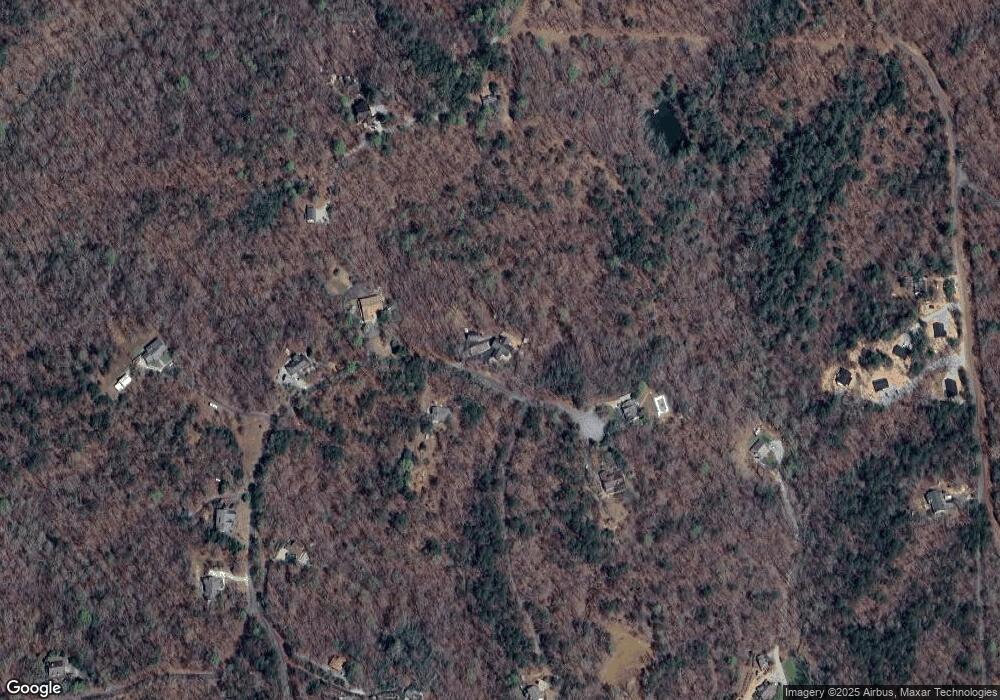
Map
Nearby Homes
- 245 Perkins Rd
- 205 Perkins Rd
- 201 Perkins Rd
- 2041 Long Branch Rd
- 2041 Long Branch Rd Unit TRACT 2A
- 0 Gold Crest Dr Unit 7623108
- 0 Gold Crest Dr Unit 10373986
- 1376 Robinson Rd
- 72 Rustin Ridge Unit 276
- 58 Rustin Ridge Unit 278
- 42 Rustin Ridge Unit 285
- 0 Stamp Mill Dr
- 133 Stamp Mill Dr
- 134 Prospector Ridge
- 176 Stamp Mill Ln
- 1364 Birch River Dr
- 1259 Birch River Dr
- 270 Prospector Ridge
- 48 Kasten Run
- 0 Gold View Dr
- 1951 Robinson Rd
- 1878 Robinson Rd
- 1950 Robinson Rd
- 1847 Robinson Rd
- 259 Plateau Rd
- 1805 Robinson Rd
- 354 Plateau Rd
- 600 Chestnut Ridge Dr
- 180 Crawshaw Rd Unit 3
- 180 Crawshaw Rd
- 514 Chestnut
- 1733 Robinson Rd
- 500 Chestnut Ridge Dr
- 265 Perkins Rd
- 514 Chestnut Ridge Dr
- 1779 Robinson Rd
- 2041 Long Branch Rd Unit TRACT 2B
- 2041 Long Branch Rd Unit 2A,2B,1C,2D
- 2041 Long Branch Rd
- 2041 Long Branch Rd Unit Lot 2A