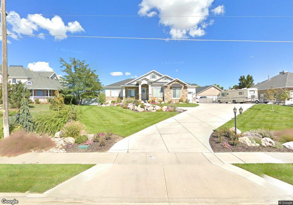
1909 S Bluff Rd Syracuse, UT 84075
Estimated Value: $643,000 - $770,000
3
Beds
2
Baths
1,816
Sq Ft
$382/Sq Ft
Est. Value
About This Home
This home is located at 1909 S Bluff Rd, Syracuse, UT 84075 and is currently estimated at $693,257, approximately $381 per square foot. 1909 S Bluff Rd is a home with nearby schools including Syracuse Elementary School, Syracuse Junior High School, and Syracuse High School.
Ownership History
Date
Name
Owned For
Owner Type
Purchase Details
Closed on
Dec 16, 2019
Sold by
Whitaker Jacob D
Bought by
Whitaker Jacob D and Whitaker Rachael Laura
Current Estimated Value
Home Financials for this Owner
Home Financials are based on the most recent Mortgage that was taken out on this home.
Original Mortgage
$250,000
Outstanding Balance
$168,387
Interest Rate
3.6%
Mortgage Type
New Conventional
Estimated Equity
$524,870
Purchase Details
Closed on
Jan 9, 2015
Sold by
Burnham Family Land Llp
Bought by
Whitaker J D and Whitaker Rachael
Purchase Details
Closed on
Jul 13, 2009
Sold by
Norman Evan and Bachman Julie
Bought by
Burnham Family Land Limited Liability Pa
Purchase Details
Closed on
Aug 24, 2005
Sold by
Burnham Cherrol A
Bought by
Syracuse City Corp
Create a Home Valuation Report for This Property
The Home Valuation Report is an in-depth analysis detailing your home's value as well as a comparison with similar homes in the area
Home Values in the Area
Average Home Value in this Area
Purchase History
| Date | Buyer | Sale Price | Title Company |
|---|---|---|---|
| Whitaker Jacob D | -- | Us Title Company Of | |
| Whitaker J D | -- | Backman Title Ser | |
| Burnham Family Land Limited Liability Pa | -- | None Available | |
| Syracuse City Corp | -- | -- |
Source: Public Records
Mortgage History
| Date | Status | Borrower | Loan Amount |
|---|---|---|---|
| Open | Whitaker Jacob D | $250,000 |
Source: Public Records
Tax History Compared to Growth
Tax History
| Year | Tax Paid | Tax Assessment Tax Assessment Total Assessment is a certain percentage of the fair market value that is determined by local assessors to be the total taxable value of land and additions on the property. | Land | Improvement |
|---|---|---|---|---|
| 2025 | $3,728 | $359,700 | $141,725 | $217,975 |
| 2024 | $3,879 | $376,750 | $135,462 | $241,288 |
| 2023 | $3,464 | $613,000 | $187,631 | $425,369 |
| 2022 | $3,696 | $358,600 | $105,365 | $253,235 |
| 2021 | $3,122 | $469,000 | $157,882 | $311,118 |
| 2020 | $2,751 | $400,000 | $83,323 | $316,677 |
| 2019 | $2,849 | $409,000 | $88,935 | $320,065 |
| 2018 | $2,646 | $377,000 | $81,789 | $295,211 |
| 2016 | $2,220 | $165,880 | $47,876 | $118,004 |
| 2015 | $1,223 | $87,048 | $87,048 | $0 |
| 2014 | $1,200 | $87,020 | $87,020 | $0 |
| 2013 | -- | $78,449 | $78,449 | $0 |
Source: Public Records
Map
Nearby Homes
- 2679 W Antelope Dr
- 2982 S 3000 W
- 2912 S 3000 W
- 2928 W 2075 S
- 4344 W 1825 S Unit 102
- 4354 W 1825 S Unit 104
- 4348 W 1825 S Unit 103
- 2237 Craig Ln
- 2297 W 2175 S
- 1403 Gleneagles Dr
- 2961 S 2425 W Unit 1123
- 2840 W 1200 S
- 2136 W 2200 S
- 2696 2495 S Unit 207
- 2104 W 2200 S
- 2524 S 3590 W Unit 601
- 2965 S 3000 W
- 2971 S 2425 W Unit 1124
- 2686 S 2440 W Unit 101
- 2635 S 2430 W Unit 114
- 1963 S Bluff Rd
- 1895 S Bluff Rd
- 1895 S Bluff Rd Unit 68
- 1951 S Bluff Rd
- 1863 S Bluff Rd
- 1896 S 2590 W
- 1878 S 2590 W
- 1914 S 2590 W
- 1862 S 2590 W
- 1862 S 2590 W Unit 37
- 1932 S 2590 W
- 1844 S 2590 W
- 1948 S 2590 W
- 2578 W 1900 S
- 1826 S 2590 W
- 1826 S 2590 W Unit 39
- 2579 W 1850 S
- 1835 S Bluff Rd
- 2577 W 1900 S
- 1969 S Bluff Rd