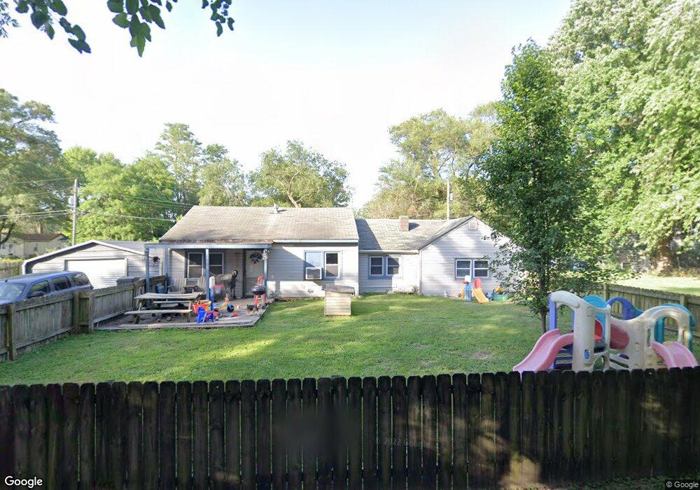
1909 Sandy Ridge Rd East Saint Louis, IL 62206
Estimated Value: $57,676 - $104,000
--
Bed
--
Bath
1,222
Sq Ft
$71/Sq Ft
Est. Value
About This Home
This home is located at 1909 Sandy Ridge Rd, East Saint Louis, IL 62206 and is currently estimated at $87,169, approximately $71 per square foot. 1909 Sandy Ridge Rd is a home located in St. Clair County.
Ownership History
Date
Name
Owned For
Owner Type
Purchase Details
Closed on
Jun 13, 2010
Sold by
Howard Roy W and Howard Regina G
Bought by
French Michael W and Lowe Patricia A
Current Estimated Value
Purchase Details
Closed on
Apr 1, 1998
Bought by
Howard Roy W and Howard Regina
Create a Home Valuation Report for This Property
The Home Valuation Report is an in-depth analysis detailing your home's value as well as a comparison with similar homes in the area
Home Values in the Area
Average Home Value in this Area
Purchase History
| Date | Buyer | Sale Price | Title Company |
|---|---|---|---|
| French Michael W | $50,000 | None Available | |
| Howard Roy W | $25,500 | -- |
Source: Public Records
Mortgage History
| Date | Status | Borrower | Loan Amount |
|---|---|---|---|
| Closed | French Michael W | $0 |
Source: Public Records
Tax History Compared to Growth
Tax History
| Year | Tax Paid | Tax Assessment Tax Assessment Total Assessment is a certain percentage of the fair market value that is determined by local assessors to be the total taxable value of land and additions on the property. | Land | Improvement |
|---|---|---|---|---|
| 2024 | $1,005 | $13,283 | $1,387 | $11,896 |
| 2023 | $761 | $12,006 | $1,254 | $10,752 |
| 2022 | $660 | $10,522 | $1,099 | $9,423 |
| 2021 | $714 | $9,970 | $1,041 | $8,929 |
| 2020 | $775 | $10,142 | $1,090 | $9,052 |
| 2019 | $776 | $10,142 | $1,090 | $9,052 |
| 2018 | $761 | $10,290 | $1,106 | $9,184 |
| 2017 | $766 | $10,043 | $1,080 | $8,963 |
| 2016 | $771 | $8,810 | $1,076 | $7,734 |
| 2014 | -- | $8,714 | $1,064 | $7,650 |
| 2013 | $954 | $8,174 | $998 | $7,176 |
Source: Public Records
Map
Nearby Homes
- 2025 Sandy Ridge Rd
- 2005 Louise Ave
- 2016 Lynn St
- 1426 Richard Dr
- 1713 Loretta Ave
- 1713 Theodore Ln
- 1723 Theodore Ln
- 1402 Richard Dr
- 1700 Theodore Ln
- 2014 Florence St
- 20 Leonard Dr
- 111 Lazarcheff Dr
- 2 Margie Dr
- 1326 Saint Zita Ln
- 118 Saint Christopher Dr
- 1997 Oak Tree Ln
- 214 Saint John Dr
- 1307 Saint Zita Ln
- 1710 Parklane Dr
- 1128 Saint Benedict Dr
- 1912 Doris Ave
- 1908 Doris Ave
- 1916 Doris Ave
- 1921 Sandy Ridge Rd
- 1904 Doris Ave
- 1922 Doris Ave
- 1901 Sandy Ridge Rd
- 1900 Doris Ave
- 1924 Doris Ave
- 1923 Sandy Ridge Rd
- 1851 Sandy Ridge Rd
- 1905 Doris Ave
- 1913 Doris Ave
- 1909 Doris Ave
- 1854 Doris Ave
- 1919 Doris Ave
- 1925 Sandy Ridge Rd
- 1901 Doris Ave
- 1901 Doris Ave
- 1921 Doris Ave