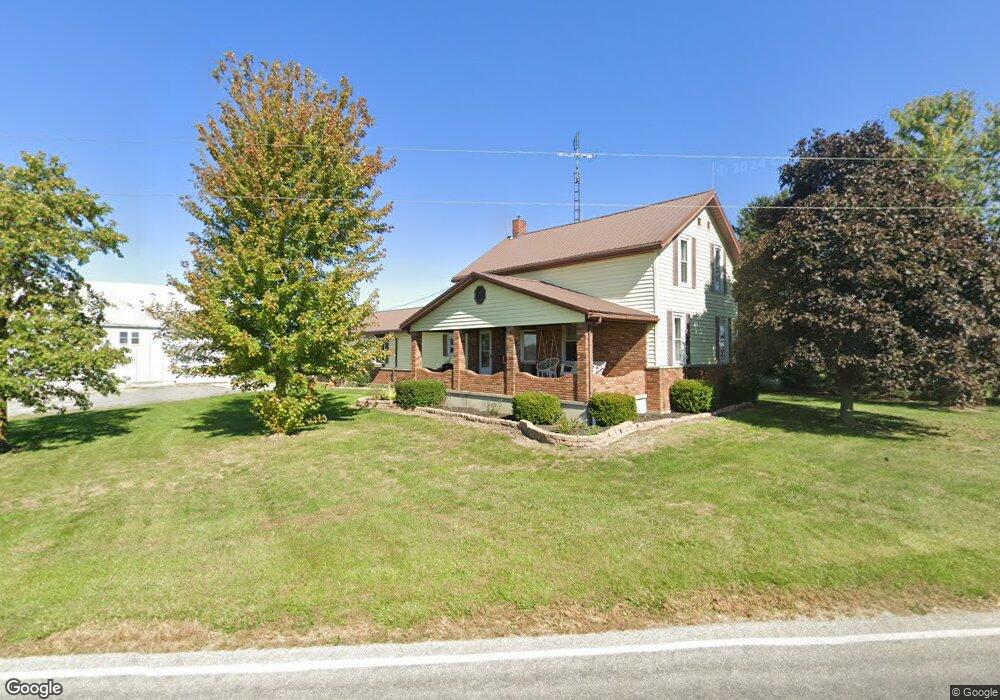
1909 Sharpsburg Rd Fort Recovery, OH 45846
Estimated Value: $332,000 - $471,000
3
Beds
2
Baths
2,036
Sq Ft
$200/Sq Ft
Est. Value
About This Home
This home is located at 1909 Sharpsburg Rd, Fort Recovery, OH 45846 and is currently estimated at $408,131, approximately $200 per square foot. 1909 Sharpsburg Rd is a home located in Mercer County with nearby schools including Fort Recovery Elementary School, Fort Recovery Middle School, and Fort Recovery High School.
Ownership History
Date
Name
Owned For
Owner Type
Purchase Details
Closed on
Feb 23, 2018
Sold by
Schmitz Daniel L and Schmitz Marilyn L
Bought by
Link Gustave C and Link Tessa R
Current Estimated Value
Home Financials for this Owner
Home Financials are based on the most recent Mortgage that was taken out on this home.
Original Mortgage
$252,000
Interest Rate
4.5%
Mortgage Type
Adjustable Rate Mortgage/ARM
Create a Home Valuation Report for This Property
The Home Valuation Report is an in-depth analysis detailing your home's value as well as a comparison with similar homes in the area
Home Values in the Area
Average Home Value in this Area
Purchase History
| Date | Buyer | Sale Price | Title Company |
|---|---|---|---|
| Link Gustave C | $315,000 | None Available |
Source: Public Records
Mortgage History
| Date | Status | Borrower | Loan Amount |
|---|---|---|---|
| Closed | Link Gustave C | $252,000 |
Source: Public Records
Tax History Compared to Growth
Tax History
| Year | Tax Paid | Tax Assessment Tax Assessment Total Assessment is a certain percentage of the fair market value that is determined by local assessors to be the total taxable value of land and additions on the property. | Land | Improvement |
|---|---|---|---|---|
| 2024 | $2,873 | $102,350 | $18,940 | $83,410 |
| 2023 | $2,873 | $102,350 | $18,940 | $83,410 |
| 2022 | $2,357 | $75,220 | $15,230 | $59,990 |
| 2021 | $2,364 | $75,220 | $15,230 | $59,990 |
| 2020 | $2,360 | $75,220 | $15,230 | $59,990 |
| 2019 | $1,709 | $52,330 | $13,480 | $38,850 |
| 2018 | $1,772 | $52,330 | $13,480 | $38,850 |
| 2017 | $1,732 | $52,330 | $13,480 | $38,850 |
| 2016 | $1,680 | $50,510 | $13,760 | $36,750 |
| 2015 | $1,613 | $50,510 | $13,760 | $36,750 |
| 2014 | $1,639 | $50,510 | $13,760 | $36,750 |
| 2013 | $1,629 | $47,710 | $12,950 | $34,760 |
Source: Public Records
Map
Nearby Homes
- 201 W Wiggs St
- 304 S Wayne St
- 4475 Ohio 705
- 4543 Lange Rd
- 0 Ohio 118
- 1291 State Route 219
- 3709 Rossburg-Lightsville Rd
- 420 S 1st St
- 820 Mary Ln
- 401 N Cedar St
- 821 Butler St
- 912 Emerald Ave
- 426 E Walnut St
- 314 E North St
- 402 E Elizabeth St
- 501 N 2nd St
- 1024 Coletta Ct
- 721 Lilac Dr
- 0 Coletta Ct Unit 24/1807 1032998
- 0 Coletta Ct Unit 23/1806 1032997
- 1146 Burrville Rd
- 2079 Fox Rd
- 1712 Sharpsburg Rd
- 1712 Sharpsburg Rd
- 1310 Burrville Rd
- 1654 Fox Rd
- 1314 Burrville Rd
- 2105 Sharpsburg Rd
- 1368 Burrville Rd
- 1540 Fox Rd
- 1614 Sharpsburg Rd
- 2241 Fox Rd
- 1445 Burrville Rd
- 1524 Fox Rd
- 674 Burrville Rd
- 1327 Wourms Rd
- 1480 Burrville Rd
- 1365 Wourms Rd
- 1365 Wourms Rd
- 761 Wourms Rd