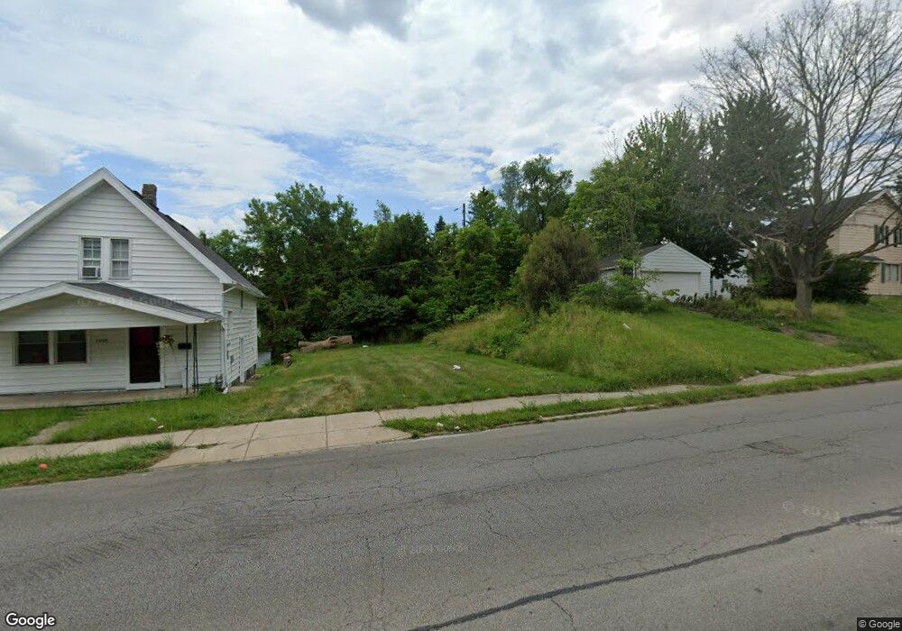
1909 South Ave Toledo, OH 43609
Southside NeighborhoodEstimated Value: $52,500
3
Beds
1
Bath
1,188
Sq Ft
$44/Sq Ft
Est. Value
About This Home
This home is located at 1909 South Ave, Toledo, OH 43609 and is currently priced at $52,500, approximately $44 per square foot. 1909 South Ave is a home located in Lucas County with nearby schools including Harvard Elementary School, Bowsher High School, and Explorers Academy of Science and Technology.
Ownership History
Date
Name
Owned For
Owner Type
Purchase Details
Closed on
Jan 19, 2022
Sold by
Lucas County Land Reutilization Corporat
Bought by
City Of Toledo
Current Estimated Value
Purchase Details
Closed on
Jul 17, 2019
Sold by
Neely Michael Frederick and Lucas County
Bought by
Lucas County Land Reutilization Corp
Purchase Details
Closed on
Feb 15, 2019
Sold by
Moore Thomas W
Bought by
Neely Michael Frederick
Purchase Details
Closed on
Jun 16, 2016
Sold by
Kayler Prop Llc
Bought by
Moore Thomas W
Purchase Details
Closed on
Jan 12, 2007
Sold by
National City Bank Of Indiana
Bought by
Kaylor Properties Llc
Purchase Details
Closed on
Jun 26, 2006
Sold by
Houttekier Regina R
Bought by
National City Bank Of Indiana
Purchase Details
Closed on
Mar 20, 1998
Sold by
Rigg Harry W
Bought by
Houttekier Regina R
Purchase Details
Closed on
Feb 1, 1996
Sold by
Bailey Daniel R
Bought by
Rigg Harry W
Create a Home Valuation Report for This Property
The Home Valuation Report is an in-depth analysis detailing your home's value as well as a comparison with similar homes in the area
Home Values in the Area
Average Home Value in this Area
Purchase History
| Date | Buyer | Sale Price | Title Company |
|---|---|---|---|
| City Of Toledo | -- | None Listed On Document | |
| Lucas County Land Reutilization Corp | -- | None Available | |
| Neely Michael Frederick | $300 | None Available | |
| Moore Thomas W | $300 | None Available | |
| Kaylor Properties Llc | $30,000 | Attorney | |
| National City Bank Of Indiana | $40,000 | None Available | |
| Houttekier Regina R | $49,000 | -- | |
| Rigg Harry W | $8,000 | -- |
Source: Public Records
Tax History Compared to Growth
Tax History
| Year | Tax Paid | Tax Assessment Tax Assessment Total Assessment is a certain percentage of the fair market value that is determined by local assessors to be the total taxable value of land and additions on the property. | Land | Improvement |
|---|---|---|---|---|
| 2024 | -- | $420 | $420 | -- |
| 2023 | $103 | $350 | $350 | $0 |
| 2022 | $0 | $350 | $350 | $0 |
| 2021 | $100 | $3,360 | $3,360 | $0 |
| 2020 | $118 | $7,945 | $3,360 | $4,585 |
| 2019 | $112 | $12,565 | $3,360 | $9,205 |
| 2018 | $982 | $12,565 | $3,360 | $9,205 |
| 2017 | $9,487 | $12,145 | $3,045 | $9,100 |
| 2016 | $7,493 | $34,700 | $8,700 | $26,000 |
| 2015 | $991 | $34,700 | $8,700 | $26,000 |
| 2014 | $1,178 | $12,150 | $3,050 | $9,100 |
| 2013 | $785 | $12,150 | $3,050 | $9,100 |
Source: Public Records
Map
Nearby Homes
- 531 Shasta Dr
- 440 Somerset St
- 512 Woodsdale Ave
- 1777 South Ave
- 649 Wright Ave
- 518 Myers St
- 705 Wright Ave
- 2126 Airport Hwy
- 224 S Fearing Blvd
- 321 Mayberry St
- 1754 Finch St
- 221 Somerset St
- 226 Somerset St
- 142 S Detroit Ave
- 713 Geneva Ave
- 304 Mayberry St
- 144 Whiting Ave
- 731 Geneva Ave
- 140 Whiting Ave
- 859 Wright Ave
- 1905 South Ave
- 1901 South St
- 1901 South Ave
- 505 Shasta Dr
- 512 Lynnhaven Dr
- 511 Shasta Dr
- 516 Lynnhaven Dr
- 507 Shasta Dr
- 515 Shasta Dr
- 517 Shasta Dr
- 524 Lynnhaven Dr
- 501 Lynnhaven Dr
- 521 Shasta Dr
- 511 Lynnhaven Dr
- 526 Lynnhaven Dr
- 513 Lynnhaven Dr
- 488 Shasta Dr
- 525 Shasta Dr
- 1935 South Ave
- 486 Shasta Dr