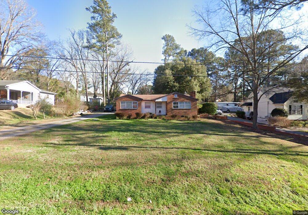
1909 Truman Dr Sanford, NC 27330
Estimated Value: $251,677 - $271,000
3
Beds
3
Baths
1,214
Sq Ft
$215/Sq Ft
Est. Value
About This Home
This home is located at 1909 Truman Dr, Sanford, NC 27330 and is currently estimated at $260,669, approximately $214 per square foot. 1909 Truman Dr is a home located in Lee County with nearby schools including J.R. Ingram Jr. Elementary School, West Lee Middle School, and Lee County High School.
Ownership History
Date
Name
Owned For
Owner Type
Purchase Details
Closed on
Jun 4, 2012
Sold by
Guevara Aurora Garcia and Guevara Jose P
Bought by
Garcia Aurora
Current Estimated Value
Purchase Details
Closed on
Apr 24, 2006
Sold by
Boaz William A and Boaz Wanda B
Bought by
Guevara Aurora Garcia and Guevara Jose P
Home Financials for this Owner
Home Financials are based on the most recent Mortgage that was taken out on this home.
Original Mortgage
$93,133
Outstanding Balance
$53,304
Interest Rate
6.29%
Mortgage Type
FHA
Estimated Equity
$207,365
Create a Home Valuation Report for This Property
The Home Valuation Report is an in-depth analysis detailing your home's value as well as a comparison with similar homes in the area
Home Values in the Area
Average Home Value in this Area
Purchase History
| Date | Buyer | Sale Price | Title Company |
|---|---|---|---|
| Garcia Aurora | -- | None Available | |
| Guevara Aurora Garcia | $94,000 | None Available |
Source: Public Records
Mortgage History
| Date | Status | Borrower | Loan Amount |
|---|---|---|---|
| Open | Guevara Aurora Garcia | $93,133 |
Source: Public Records
Tax History Compared to Growth
Tax History
| Year | Tax Paid | Tax Assessment Tax Assessment Total Assessment is a certain percentage of the fair market value that is determined by local assessors to be the total taxable value of land and additions on the property. | Land | Improvement |
|---|---|---|---|---|
| 2025 | $2,311 | $165,500 | $30,000 | $135,500 |
| 2024 | $2,311 | $165,500 | $30,000 | $135,500 |
| 2023 | $2,301 | $165,500 | $30,000 | $135,500 |
| 2022 | $1,796 | $109,300 | $25,000 | $84,300 |
| 2021 | $1,818 | $109,300 | $25,000 | $84,300 |
| 2020 | $1,813 | $109,300 | $25,000 | $84,300 |
| 2019 | $1,773 | $109,300 | $25,000 | $84,300 |
| 2018 | $1,773 | $109,400 | $25,000 | $84,400 |
| 2017 | $1,751 | $109,400 | $25,000 | $84,400 |
| 2016 | $1,726 | $109,400 | $25,000 | $84,400 |
| 2014 | $1,644 | $109,400 | $25,000 | $84,400 |
Source: Public Records
Map
Nearby Homes
- 0 Lot A Carbonton Rd
- 2400 Carbonton Rd
- 2018 Sutphin Rd
- 1701 Portico Cir
- 0 Carbonton Rd Unit 100529193
- 0 Carbonton Rd Unit 749750
- 0 Carbonton Rd Unit 24371434
- 3003 Carbonton Rd
- 2305 Weatherwood Ct
- 2313 Grassmere Ct
- 2313 Weatherwood Ct
- 0 Mcleod Dr
- 2712 Pebblebrook Dr
- 2600 Taton Ct
- 2043 Plantation Dr
- 503 N Franklin Dr
- 200 Arlington Cir
- 162 Hickory Grove Dr
- 815 Park Ave
- 113 Rosemont Ln