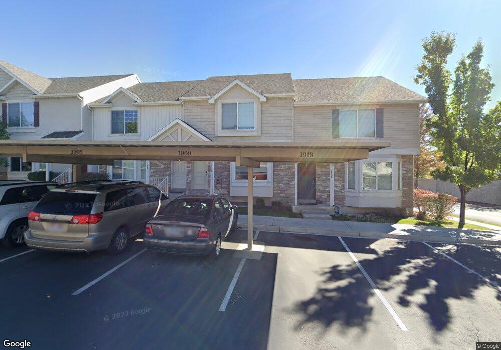
1909 W 1020 N Unit 30 Provo, UT 84604
Rivergrove NeighborhoodEstimated Value: $388,000 - $408,600
4
Beds
3
Baths
2,138
Sq Ft
$188/Sq Ft
Est. Value
About This Home
This home is located at 1909 W 1020 N Unit 30, Provo, UT 84604 and is currently estimated at $402,150, approximately $188 per square foot. 1909 W 1020 N Unit 30 is a home located in Utah County with nearby schools including Westridge Elementary School, Dixon Middle School, and Provo High School.
Ownership History
Date
Name
Owned For
Owner Type
Purchase Details
Closed on
Aug 31, 2020
Sold by
Zarboclk Michale S and Zarboclk Cecelia
Bought by
Ryamond Robert Scott and Ryamond Lori R
Current Estimated Value
Purchase Details
Closed on
Sep 22, 2009
Sold by
Independence Avenue Llc
Bought by
Zarbock Michael S and Zarbock Cecelia
Home Financials for this Owner
Home Financials are based on the most recent Mortgage that was taken out on this home.
Original Mortgage
$179,685
Interest Rate
5.14%
Mortgage Type
FHA
Create a Home Valuation Report for This Property
The Home Valuation Report is an in-depth analysis detailing your home's value as well as a comparison with similar homes in the area
Home Values in the Area
Average Home Value in this Area
Purchase History
| Date | Buyer | Sale Price | Title Company |
|---|---|---|---|
| Ryamond Robert Scott | -- | Eagle Gate Title | |
| Zarbock Michael S | -- | First American |
Source: Public Records
Mortgage History
| Date | Status | Borrower | Loan Amount |
|---|---|---|---|
| Previous Owner | Zarbock Michael S | $179,685 |
Source: Public Records
Tax History Compared to Growth
Tax History
| Year | Tax Paid | Tax Assessment Tax Assessment Total Assessment is a certain percentage of the fair market value that is determined by local assessors to be the total taxable value of land and additions on the property. | Land | Improvement |
|---|---|---|---|---|
| 2025 | $2,127 | $207,515 | $55,500 | $321,800 |
| 2024 | $2,127 | $209,385 | $0 | $0 |
| 2023 | $2,056 | $199,485 | $0 | $0 |
| 2022 | $2,110 | $206,470 | $0 | $0 |
| 2021 | $1,654 | $282,200 | $42,300 | $239,900 |
| 2020 | $1,613 | $258,000 | $33,500 | $224,500 |
| 2019 | $1,551 | $258,000 | $33,500 | $224,500 |
| 2018 | $1,410 | $238,000 | $29,000 | $209,000 |
| 2017 | $1,214 | $112,530 | $0 | $0 |
| 2016 | $1,184 | $102,300 | $0 | $0 |
| 2015 | -- | $97,350 | $0 | $0 |
| 2014 | $972 | $88,550 | $0 | $0 |
Source: Public Records
Map
Nearby Homes
- 2075 W 1080 N
- 2043 W 1100 N
- 962 Independence Ave
- 927 Independence Ave
- 1127 Independence Ave
- 932 N 1760 W
- 1893 Cascade Dr
- 1620 W 1000 N
- 2397 W 1160 N
- 1503 N 1980 W
- 582 N 2310 W
- 1574 W 1400 N
- 2216 W 480 N
- 1475 Arthur Dr Unit 7A
- 2316 W 510 N
- 1616 N 2100 W
- 1471 W 1460 N
- 392 N 2150 W
- 1682 N 2250 W
- 1104 N 1220 W
- 1905 W 1020 N Unit 29
- 1905 W 1020 N
- 1901 W 1020 N Unit 28
- 1897 W 1020 N Unit 27
- 1897 W 1020 N
- 1891 W 1020 N Unit 26
- 1885 W 1020 N Unit 25
- 1908 W 1020 N Unit 34
- 1902 W 1020 N
- 1902 W 1020 N Unit 35
- 1898 W 1020 N
- 1898 W 1020 N Unit 36
- 1914 W 1020 N Unit 33
- 1918 W 1020 N
- 1918 W 1020 N Unit 32
- 1894 W 1020 N Unit 37
- 1888 W 1020 N
- 1888 W 1020 N Unit 38
- 1884 W 1020 N
- 1884 W 1020 N Unit 39