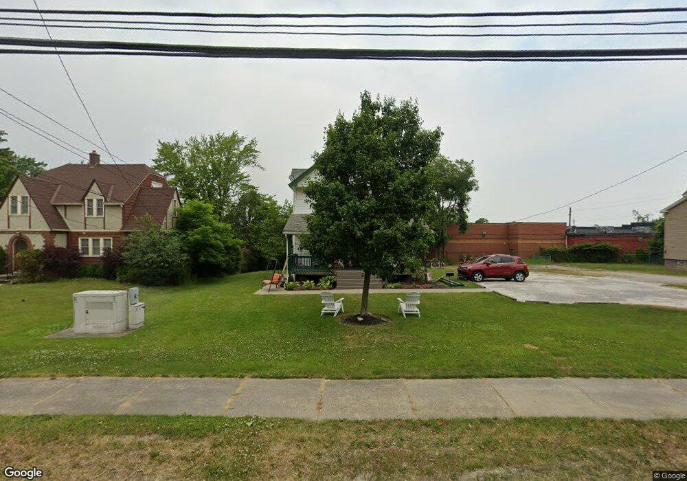
19098 Westwood Dr Strongsville, OH 44149
Estimated Value: $259,617 - $312,000
4
Beds
2
Baths
1,786
Sq Ft
$162/Sq Ft
Est. Value
About This Home
This home is located at 19098 Westwood Dr, Strongsville, OH 44149 and is currently estimated at $289,404, approximately $162 per square foot. 19098 Westwood Dr is a home located in Cuyahoga County with nearby schools including Strongsville High School, Strongsville Academy, and Sts Joseph & John Interparochial School.
Ownership History
Date
Name
Owned For
Owner Type
Purchase Details
Closed on
Oct 29, 2001
Sold by
Medders Sharon A
Bought by
Cook James R and Violi Anna B
Current Estimated Value
Home Financials for this Owner
Home Financials are based on the most recent Mortgage that was taken out on this home.
Original Mortgage
$137,837
Outstanding Balance
$54,191
Interest Rate
6.8%
Mortgage Type
FHA
Estimated Equity
$235,213
Purchase Details
Closed on
Mar 15, 1996
Sold by
Carte Judith K
Bought by
Medders David W and Medders Sharon A
Home Financials for this Owner
Home Financials are based on the most recent Mortgage that was taken out on this home.
Original Mortgage
$73,600
Interest Rate
7.06%
Mortgage Type
New Conventional
Purchase Details
Closed on
Apr 24, 1990
Sold by
Carte Dale W and Carte Judith K
Bought by
Carte Judith K
Purchase Details
Closed on
Jan 10, 1983
Sold by
Mayer Kevin J and Mayer Merry
Bought by
Carte Dale W and Carte Judith K
Purchase Details
Closed on
Jan 1, 1980
Bought by
Mayer Kevin J and Mayer Merry
Create a Home Valuation Report for This Property
The Home Valuation Report is an in-depth analysis detailing your home's value as well as a comparison with similar homes in the area
Home Values in the Area
Average Home Value in this Area
Purchase History
| Date | Buyer | Sale Price | Title Company |
|---|---|---|---|
| Cook James R | $139,000 | -- | |
| Medders David W | $92,000 | -- | |
| Carte Judith K | -- | -- | |
| Carte Dale W | $59,200 | -- | |
| Mayer Kevin J | -- | -- |
Source: Public Records
Mortgage History
| Date | Status | Borrower | Loan Amount |
|---|---|---|---|
| Open | Cook James R | $137,837 | |
| Previous Owner | Medders David W | $73,600 |
Source: Public Records
Tax History Compared to Growth
Tax History
| Year | Tax Paid | Tax Assessment Tax Assessment Total Assessment is a certain percentage of the fair market value that is determined by local assessors to be the total taxable value of land and additions on the property. | Land | Improvement |
|---|---|---|---|---|
| 2024 | $3,438 | $73,220 | $6,650 | $66,570 |
| 2023 | $3,470 | $55,410 | $12,880 | $42,530 |
| 2022 | $3,444 | $55,410 | $12,880 | $42,530 |
| 2021 | $3,417 | $55,410 | $12,880 | $42,530 |
| 2020 | $3,167 | $45,430 | $10,570 | $34,860 |
| 2019 | $3,074 | $129,800 | $30,200 | $99,600 |
| 2018 | $2,723 | $45,430 | $10,570 | $34,860 |
| 2017 | $2,705 | $40,780 | $8,370 | $32,410 |
| 2016 | $2,683 | $40,780 | $8,370 | $32,410 |
| 2015 | $2,642 | $40,780 | $8,370 | $32,410 |
| 2014 | $2,642 | $39,590 | $8,120 | $31,470 |
Source: Public Records
Map
Nearby Homes
- 19160 Wheelers Ln
- 13099 Olympus Way
- 13156 Olympus Way
- 13066 Olympus Way
- 14112 Settlers Way
- 19620 Porters Ln Unit 15F
- 12539 Olympus Way
- 18248 Meadow Ln
- 12694 Ionia Ct
- 12385 Corinth Ct
- 18336 Falling Water Rd
- 12647 Edgepark Cir
- 17809 Cliffside Dr Unit 4926
- 17945 Cliffside Dr
- 17289 Akita Ct Unit 4508
- 20078 Trapper Trail
- 13236 Tomson Dr
- 19513 Lunn Rd
- 18630 Shurmer Rd
- 13513 Suncrest Ct
- 19128 Westwood Dr
- 19068 Westwood Dr
- 19132 Westwood Dr
- 19038 Westwood Dr
- 19136 Westwood Dr
- 19162 Westwood Dr
- 19137 Westwood Dr
- 19137 Westwood Dr Unit 1
- 19137 Westwood Dr Unit 2
- 13600 Pearl Rd
- 19190 Westwood Dr
- 19163 Westwood Dr
- 19262 Westwood Dr
- 19194 Westwood Dr
- 19191 Westwood Dr
- 19199 Westwood Dr
- 19226 Westwood Dr
- 13702 Pearl Rd
- 19227 Westwood Dr
- 19230 Westwood Dr