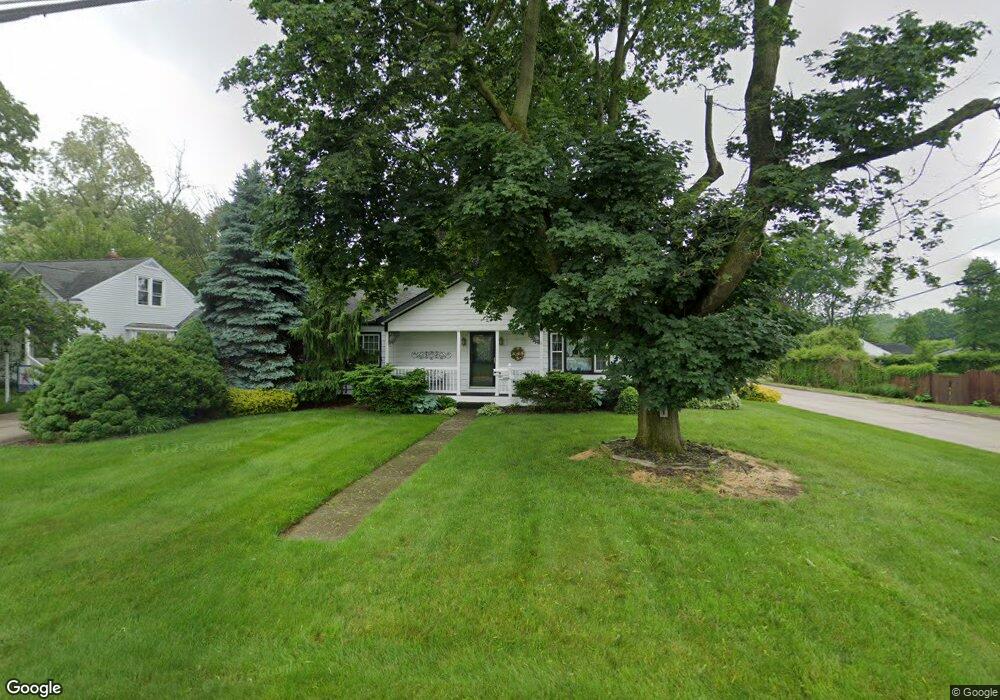
191 9th St NE Barberton, OH 44203
East Barberton NeighborhoodEstimated Value: $164,854 - $175,000
2
Beds
2
Baths
980
Sq Ft
$173/Sq Ft
Est. Value
About This Home
This home is located at 191 9th St NE, Barberton, OH 44203 and is currently estimated at $169,714, approximately $173 per square foot. 191 9th St NE is a home located in Summit County with nearby schools including Barberton Intermediate School 3-5, Barberton Middle School, and Barberton High School.
Ownership History
Date
Name
Owned For
Owner Type
Purchase Details
Closed on
Sep 9, 1999
Sold by
Ocheltree Timothy G and Ocheltree Karen L
Bought by
Brine Harvey E and Brine Louise M
Current Estimated Value
Home Financials for this Owner
Home Financials are based on the most recent Mortgage that was taken out on this home.
Original Mortgage
$76,600
Interest Rate
7.77%
Create a Home Valuation Report for This Property
The Home Valuation Report is an in-depth analysis detailing your home's value as well as a comparison with similar homes in the area
Home Values in the Area
Average Home Value in this Area
Purchase History
| Date | Buyer | Sale Price | Title Company |
|---|---|---|---|
| Brine Harvey E | $79,000 | Prospect Title Agency Inc |
Source: Public Records
Mortgage History
| Date | Status | Borrower | Loan Amount |
|---|---|---|---|
| Closed | Brine Harvey E | $76,600 |
Source: Public Records
Tax History Compared to Growth
Tax History
| Year | Tax Paid | Tax Assessment Tax Assessment Total Assessment is a certain percentage of the fair market value that is determined by local assessors to be the total taxable value of land and additions on the property. | Land | Improvement |
|---|---|---|---|---|
| 2025 | $1,824 | $45,588 | $12,964 | $32,624 |
| 2024 | $1,824 | $45,588 | $12,964 | $32,624 |
| 2023 | $1,824 | $45,588 | $12,964 | $32,624 |
| 2022 | $1,475 | $34,276 | $9,394 | $24,882 |
| 2021 | $1,474 | $34,276 | $9,394 | $24,882 |
| 2020 | $1,442 | $34,270 | $9,390 | $24,880 |
| 2019 | $1,306 | $29,670 | $9,390 | $20,280 |
| 2018 | $1,286 | $29,670 | $9,390 | $20,280 |
| 2017 | $1,083 | $29,670 | $9,390 | $20,280 |
| 2016 | $1,085 | $26,130 | $9,390 | $16,740 |
| 2015 | $1,083 | $26,130 | $9,390 | $16,740 |
| 2014 | $1,077 | $26,130 | $9,390 | $16,740 |
| 2013 | $1,115 | $27,410 | $9,390 | $18,020 |
Source: Public Records
Map
Nearby Homes
- 653 Washington Ave
- 721 E Ford Ave
- V/L 1.16 Acres E Tuscarawas Extension
- 611 Franklin Ave
- 274 E State St
- 492 E Hopocan Ave
- 749 Fairview Ave
- 477 Robinson Ave
- 409 Franklin Ave
- 357 E Paige Ave
- 349 E Hopocan Ave
- 951 S Azalea Blvd
- 251 Slate Ridge Dr
- 2953 Clearfield Ave
- 332 Lincoln Ave
- 986 S Azalea Blvd
- 1129 Winston St
- 536 Austin Dr
- 2912 Clearfield Ave
- 308 E Baird Ave