191 Adams Rd Danielsville, GA 30633
Estimated Value: $672,000 - $1,146,722
--
Bed
3
Baths
6,353
Sq Ft
$143/Sq Ft
Est. Value
About This Home
This home is located at 191 Adams Rd, Danielsville, GA 30633 and is currently estimated at $911,241, approximately $143 per square foot. 191 Adams Rd is a home located in Madison County with nearby schools including Madison County High School and Union Christian Academy.
Ownership History
Date
Name
Owned For
Owner Type
Purchase Details
Closed on
Jul 6, 1998
Sold by
Chandler George A
Bought by
Chandler George A
Current Estimated Value
Purchase Details
Closed on
Jan 1, 1980
Bought by
Chandler George A
Create a Home Valuation Report for This Property
The Home Valuation Report is an in-depth analysis detailing your home's value as well as a comparison with similar homes in the area
Home Values in the Area
Average Home Value in this Area
Purchase History
| Date | Buyer | Sale Price | Title Company |
|---|---|---|---|
| Chandler George A | -- | -- | |
| Chandler George A | -- | -- |
Source: Public Records
Tax History Compared to Growth
Tax History
| Year | Tax Paid | Tax Assessment Tax Assessment Total Assessment is a certain percentage of the fair market value that is determined by local assessors to be the total taxable value of land and additions on the property. | Land | Improvement |
|---|---|---|---|---|
| 2024 | $9,320 | $459,915 | $120,067 | $339,848 |
| 2023 | $13,583 | $444,955 | $120,067 | $324,888 |
| 2022 | $8,688 | $383,462 | $83,690 | $299,772 |
| 2021 | $8,069 | $316,538 | $62,769 | $253,769 |
| 2020 | $8,114 | $310,836 | $57,068 | $253,768 |
| 2019 | $8,103 | $307,812 | $57,068 | $250,744 |
| 2018 | $7,940 | $308,682 | $57,068 | $251,614 |
| 2017 | $8,749 | $303,844 | $56,494 | $247,350 |
| 2016 | $6,494 | $273,860 | $56,494 | $217,366 |
| 2015 | $5,970 | $255,867 | $56,494 | $199,373 |
| 2014 | $6,006 | $256,104 | $56,494 | $199,610 |
| 2013 | -- | $256,104 | $56,494 | $199,610 |
Source: Public Records
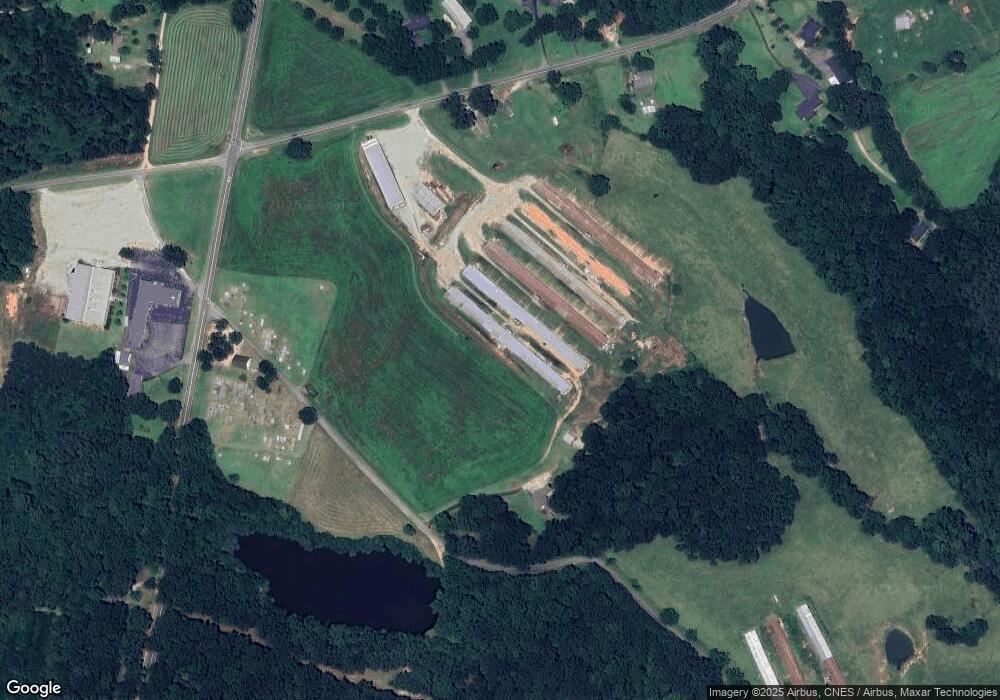
Map
Nearby Homes
- 0 Nowhere Rd Unit 10532129
- 197 Joan Smith Rd
- 280 Corey Dr
- 136 Wedgewood Dr
- 495 Hanley Rd
- 110 Williams Wilson Rd
- 25 Williams Wilson Rd
- 2888 Moons Grove Church Rd
- 3655 Neese Commerce Rd
- 135 Woodpecker Pte
- 4274 Highway 98 W
- 0 Stone Stewart Rd Unit 7519457
- 0 Stone Stewart Rd Unit 10452697
- 0 Stone Stewart Rd Unit 1023553
- 1191 Aderhold Rogers Rd
- 832 Stone Stewart Rd
- 135 Woodpecker Point
- 84 Woodpecker Point
- 5492 Georgia 98
- 0 Brewer Phillips Rd Unit 10462348
- 3341 Rogers Mill Rd
- Route 4 Adams Rd
- 3456 Rogers Mill Rd
- 3346 Rogers Mill Rd
- 200 Adams Rd
- 3372 Rogers Mill Rd
- 3394 Rogers Mill Rd
- 3265 Rogers Mill Rd
- 3398 Rogers Mill Rd
- 11720 Nowhere Rd
- 3239 Rogers Mill Rd
- 3266 Rogers Mill Rd
- 2637 Highway 106 S
- 3215 Rogers Mill Rd
- 201 Jj and G Dr
- 3128 Rogers Mill Rd
- 3184 Hwy 106s
- 3184 Highway 106 S
- 151 Lee Rd
- 2459 Highway 106 S