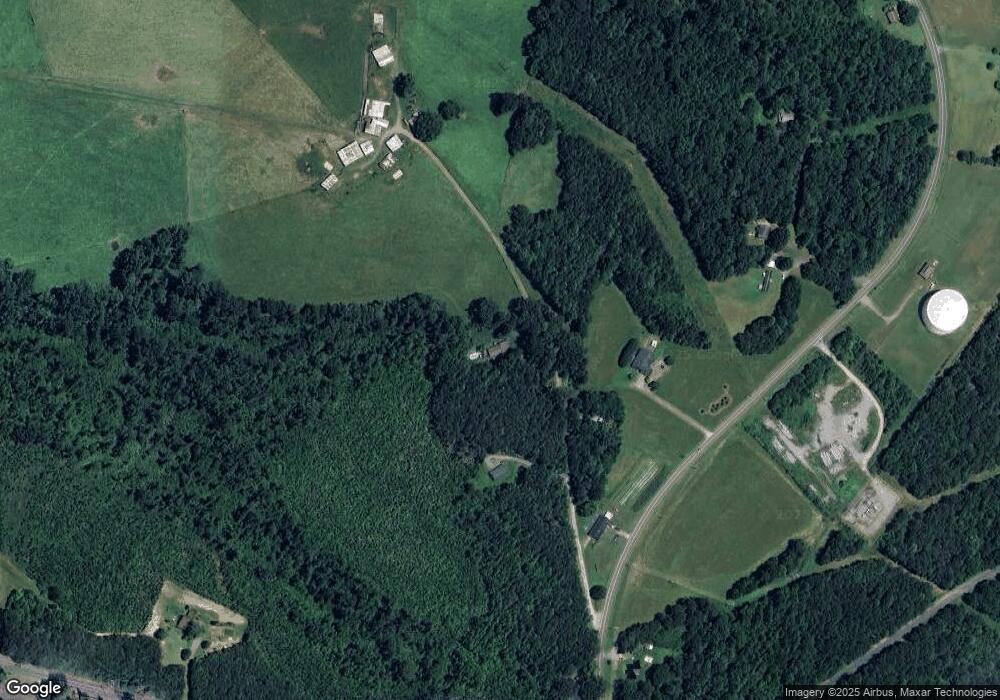
191 Airlie Dr Rutherfordton, NC 28139
Estimated Value: $251,000 - $340,000
3
Beds
2
Baths
1,768
Sq Ft
$164/Sq Ft
Est. Value
About This Home
This home is located at 191 Airlie Dr, Rutherfordton, NC 28139 and is currently estimated at $289,111, approximately $163 per square foot. 191 Airlie Dr is a home located in Rutherford County with nearby schools including Rutherfordton Elementary School, R.S. Middle School, and R-S Central High School.
Ownership History
Date
Name
Owned For
Owner Type
Purchase Details
Closed on
Mar 4, 2005
Sold by
Carpenter James F and Carpenter Pamela O
Bought by
Carpenter James F and Carpenter Kimberly H
Current Estimated Value
Home Financials for this Owner
Home Financials are based on the most recent Mortgage that was taken out on this home.
Original Mortgage
$87,300
Outstanding Balance
$44,669
Interest Rate
5.75%
Mortgage Type
New Conventional
Estimated Equity
$244,442
Create a Home Valuation Report for This Property
The Home Valuation Report is an in-depth analysis detailing your home's value as well as a comparison with similar homes in the area
Home Values in the Area
Average Home Value in this Area
Purchase History
| Date | Buyer | Sale Price | Title Company |
|---|---|---|---|
| Carpenter James F | $87,500 | Not Available |
Source: Public Records
Mortgage History
| Date | Status | Borrower | Loan Amount |
|---|---|---|---|
| Open | Carpenter James F | $87,300 |
Source: Public Records
Tax History Compared to Growth
Tax History
| Year | Tax Paid | Tax Assessment Tax Assessment Total Assessment is a certain percentage of the fair market value that is determined by local assessors to be the total taxable value of land and additions on the property. | Land | Improvement |
|---|---|---|---|---|
| 2025 | $1,341 | $207,200 | $7,200 | $200,000 |
| 2024 | $1,274 | $207,200 | $7,200 | $200,000 |
| 2023 | $990 | $207,200 | $7,200 | $200,000 |
| 2022 | $990 | $123,300 | $7,200 | $116,100 |
| 2021 | $972 | $123,300 | $7,200 | $116,100 |
| 2020 | $960 | $123,300 | $7,200 | $116,100 |
| 2019 | $952 | $123,300 | $7,200 | $116,100 |
| 2018 | $843 | $106,700 | $7,200 | $99,500 |
| 2016 | $821 | $106,700 | $7,200 | $99,500 |
| 2013 | -- | $106,700 | $7,200 | $99,500 |
Source: Public Records
Map
Nearby Homes
- 1349 Us 221 Hwy S
- 1260 US 221 Hwy S
- 732 Crowe Dairy Rd
- 847 Crowe Dairy Rd
- 617 Us 221 Hwy S
- 188 Debby Ln
- 151 Debby Ln
- 0 Carver Ln
- 0 Ring Farm Dr Unit CAR4285763
- 0 Oakland Heights Rd
- Lot #69 Cleghorn Mill Rd
- Lot 2 Cleghorn Mill Rd
- Lot 7 Cleghorn Mill Rd
- Lot 3 Cleghorn Mill Rd
- Lot 1 Cleghorn Mill Rd
- Lot #6 Cleghorn Mill Rd
- 00 Washburn Ln
- Lot Washburn Ln
- 0 Holly Forest Dr
- 000 Moss Dr
- 175 Airlie Dr
- 1200 Poors Ford Rd
- 1240 Poors Ford Rd
- 999 Poors Ford Rd
- 999 Poors Ford Rd Unit 1
- 999 Poors Ford Rd Unit 3
- 999 Poors Ford Rd Unit 2
- 1110 Poors Ford Rd
- 1070 Poors Ford Rd Unit 10
- 1281 Poors Ford Rd
- 1286 Poors Ford Rd
- 252 Baber Rd
- 1310 Poors Ford Rd
- 184 Baber Rd
- 184 Baber Rd
- 1328 Poors Ford Rd
- 1016 Poors Ford Rd
- 1024 Poors Ford Rd
- 193 Baber Rd Unit 237
- 6387 Poors Ford Rd
