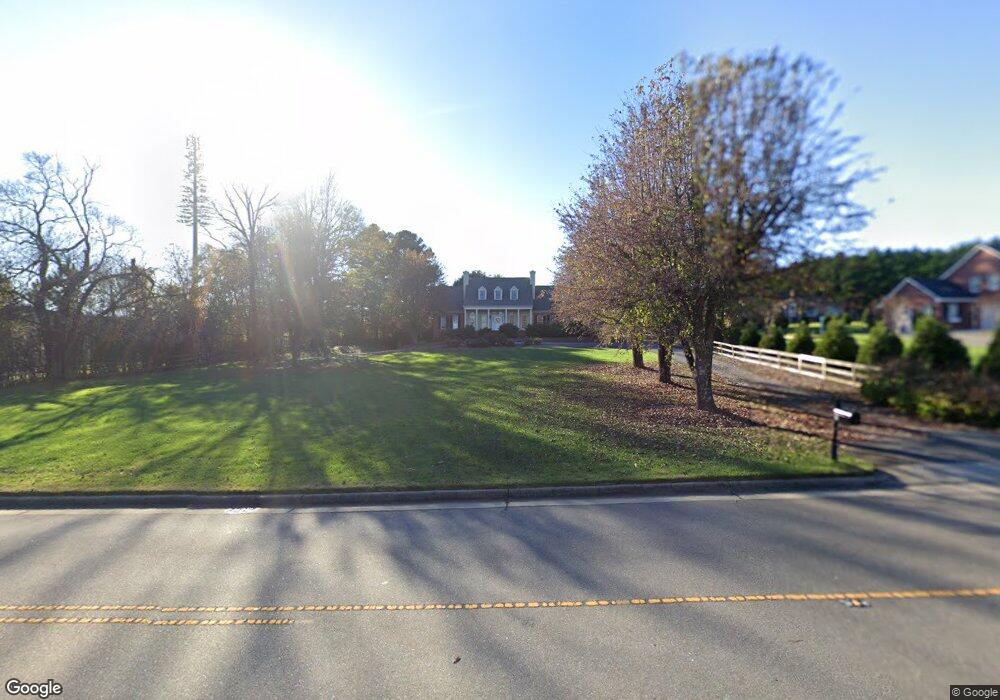
191 Bost Rd Morganton, NC 28655
Estimated Value: $648,000 - $973,000
4
Beds
5
Baths
5,938
Sq Ft
$136/Sq Ft
Est. Value
About This Home
This home is located at 191 Bost Rd, Morganton, NC 28655 and is currently estimated at $808,629, approximately $136 per square foot. 191 Bost Rd is a home located in Burke County with nearby schools including Walter R. Johnson Middle School, Freedom High School, and New Dimensions.
Ownership History
Date
Name
Owned For
Owner Type
Purchase Details
Closed on
Mar 23, 2018
Sold by
Gonzalez David R and Gonzalez Marcia R
Bought by
Reece Jennifer L
Current Estimated Value
Purchase Details
Closed on
Apr 15, 2005
Sold by
National Residential Nominee Services In
Bought by
Gonzalez Michael B and Gonzalez Anne R
Home Financials for this Owner
Home Financials are based on the most recent Mortgage that was taken out on this home.
Original Mortgage
$55,185
Interest Rate
5.98%
Mortgage Type
Future Advance Clause Open End Mortgage
Create a Home Valuation Report for This Property
The Home Valuation Report is an in-depth analysis detailing your home's value as well as a comparison with similar homes in the area
Home Values in the Area
Average Home Value in this Area
Purchase History
| Date | Buyer | Sale Price | Title Company |
|---|---|---|---|
| Reece Jennifer L | -- | None Available | |
| Gonzalez Michael B | $368,000 | None Available |
Source: Public Records
Mortgage History
| Date | Status | Borrower | Loan Amount |
|---|---|---|---|
| Previous Owner | Gonzalez Michael B | $55,185 |
Source: Public Records
Tax History
| Year | Tax Paid | Tax Assessment Tax Assessment Total Assessment is a certain percentage of the fair market value that is determined by local assessors to be the total taxable value of land and additions on the property. | Land | Improvement |
|---|---|---|---|---|
| 2025 | $4,688 | $827,130 | $37,450 | $789,680 |
| 2024 | $4,725 | $827,130 | $37,450 | $789,680 |
| 2023 | $4,720 | $827,130 | $37,450 | $789,680 |
| 2022 | $4,016 | $566,005 | $32,707 | $533,298 |
| 2021 | $4,010 | $566,005 | $32,707 | $533,298 |
| 2020 | $4,006 | $566,005 | $32,707 | $533,298 |
| 2019 | $4,006 | $566,005 | $32,707 | $533,298 |
| 2018 | $3,479 | $490,261 | $32,707 | $457,554 |
| 2017 | $3,477 | $490,261 | $32,707 | $457,554 |
| 2016 | $3,399 | $490,261 | $32,707 | $457,554 |
| 2015 | $2,732 | $505,960 | $32,707 | $473,253 |
| 2014 | $2,731 | $392,700 | $32,707 | $359,993 |
| 2013 | $2,731 | $392,700 | $32,707 | $359,993 |
Source: Public Records
Map
Nearby Homes
- 0 Saint Marys Church Rd
- 1101 N Green St Unit 35
- 112 Parkland St
- 311 Mull Ln
- 204 Winding Creek Dr
- 304 Winding Creek Dr
- 302 Winding Creek Dr
- 316 Winding Creek Dr
- 321 Winding Creek Dr
- 204 Vfw Rd
- 100 Horse Shoe Ln
- 113 Leonhardt Rd
- 202 Clark St
- 1008 Faith Ct
- 1088 Faith Ct
- 1095 Faith Ct
- 1022 Faith Ct
- 1080 Faith Ct
- 1096 Faith Ct
- 1079 Faith Ct
Your Personal Tour Guide
Ask me questions while you tour the home.