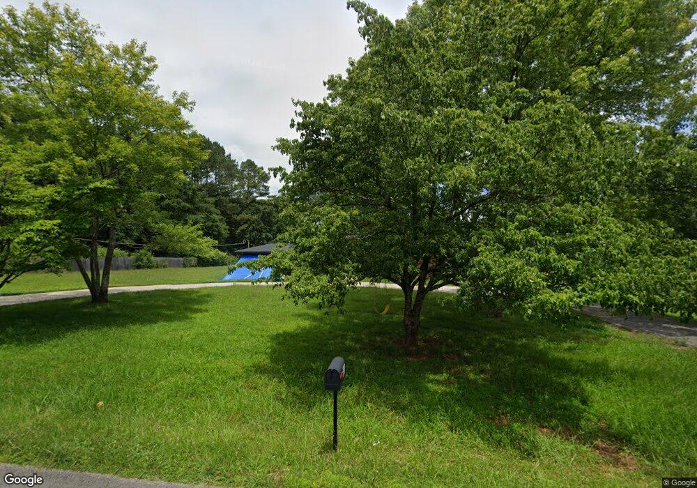
191 Briar Fork Dr Huntsville, AL 35811
Moores Mill NeighborhoodEstimated Value: $265,000 - $334,000
--
Bed
--
Bath
2,295
Sq Ft
$133/Sq Ft
Est. Value
About This Home
This home is located at 191 Briar Fork Dr, Huntsville, AL 35811 and is currently estimated at $306,004, approximately $133 per square foot. 191 Briar Fork Dr is a home with nearby schools including Mt Carmel Elementary School, Riverton Intermediate School, and Buckhorn Middle School.
Ownership History
Date
Name
Owned For
Owner Type
Purchase Details
Closed on
Jan 9, 2025
Sold by
Frattarelli Amber and Frattarell Amber
Bought by
Gibbs James
Current Estimated Value
Purchase Details
Closed on
Apr 27, 2022
Sold by
Gibbs Randall C and Gibbs Linda K
Bought by
Gibbs James and Frattarell Amber
Purchase Details
Closed on
Oct 15, 2010
Sold by
Gibbs Linda
Bought by
Gibbs Randall C
Create a Home Valuation Report for This Property
The Home Valuation Report is an in-depth analysis detailing your home's value as well as a comparison with similar homes in the area
Home Values in the Area
Average Home Value in this Area
Purchase History
| Date | Buyer | Sale Price | Title Company |
|---|---|---|---|
| Gibbs James | $248,750 | None Listed On Document | |
| Gibbs James | $121,600 | Munger John Russell | |
| Gibbs Randall C | -- | -- |
Source: Public Records
Tax History Compared to Growth
Tax History
| Year | Tax Paid | Tax Assessment Tax Assessment Total Assessment is a certain percentage of the fair market value that is determined by local assessors to be the total taxable value of land and additions on the property. | Land | Improvement |
|---|---|---|---|---|
| 2024 | $769 | $22,020 | $2,000 | $20,020 |
| 2023 | $750 | $21,480 | $2,000 | $19,480 |
| 2022 | $552 | $19,320 | $2,000 | $17,320 |
| 2021 | $496 | $17,460 | $2,000 | $15,460 |
| 2020 | $463 | $16,380 | $2,000 | $14,380 |
| 2019 | $448 | $15,850 | $2,000 | $13,850 |
| 2018 | $420 | $14,920 | $0 | $0 |
| 2017 | $1,076 | $29,820 | $0 | $0 |
| 2016 | $1,028 | $28,500 | $0 | $0 |
| 2015 | $466 | $14,260 | $0 | $0 |
| 2014 | $461 | $14,120 | $0 | $0 |
Source: Public Records
Map
Nearby Homes
- 215 Riverside Dr
- Lots 2 & 3 Riverside Dr
- 7521 Moores Mill Rd
- 7521A Moores Mill Rd
- 183 Foundry St
- 182 Foundry St
- 180 Foundry St
- 167 Foundry St
- 185 Little Lones Rd
- 392 Broad Row St
- 116 Drysdale Rd
- 225 Crane Hollow Ln
- 227 Crane Hollow Ln
- 285 Ruby Dr
- 229 Crane Hollow Ln
- 231 Crane Hollow Ln
- 233 Crane Hollow Ln
- 237 Crane Hollow Ln
- 429 Broad Row St
- 415 Broad Row St
- 179 Briar Fork Dr
- 207 Briar Fork Dr
- 204 Briar Fork Dr
- 198 Riverside Dr
- 167 Briar Fork Dr
- 176 Riverside Dr
- 178 Briar Fork Dr
- 215 Briar Fork Dr
- 166 Briar Fork Dr
- 214 Riverside Dr
- 216 Briar Fork Dr
- 162 Riverside Dr
- 147 Briar Fork Dr
- 229 Briar Fork Dr
- 111 Kennette Cir
- 187 Riverside Dr
- 154 Briar Fork Dr
- 146 Riverside Dr Unit B
- 146 Riverside Dr Unit A&B
- 146 Riverside Dr