191 Broadus Rd Cleveland, GA 30528
Estimated Value: $343,000 - $408,000
2
Beds
2
Baths
1,833
Sq Ft
$205/Sq Ft
Est. Value
About This Home
This home is located at 191 Broadus Rd, Cleveland, GA 30528 and is currently estimated at $376,279, approximately $205 per square foot. 191 Broadus Rd is a home located in White County with nearby schools including White County 9th Grade Academy, Tesnatee Gap Elementary (Old White County Intermediate), and Jack P. Nix Elementary School.
Ownership History
Date
Name
Owned For
Owner Type
Purchase Details
Closed on
Jul 1, 2007
Sold by
Not Provided
Bought by
Wilson Daniel Palmer
Current Estimated Value
Home Financials for this Owner
Home Financials are based on the most recent Mortgage that was taken out on this home.
Original Mortgage
$76,264
Interest Rate
6.37%
Mortgage Type
New Conventional
Purchase Details
Closed on
Aug 1, 2006
Sold by
Not Provided
Bought by
Wilson Daniel Palmer
Create a Home Valuation Report for This Property
The Home Valuation Report is an in-depth analysis detailing your home's value as well as a comparison with similar homes in the area
Home Values in the Area
Average Home Value in this Area
Purchase History
| Date | Buyer | Sale Price | Title Company |
|---|---|---|---|
| Wilson Daniel Palmer | -- | -- | |
| Wilson Daniel Palmer | -- | -- |
Source: Public Records
Mortgage History
| Date | Status | Borrower | Loan Amount |
|---|---|---|---|
| Closed | Wilson Daniel Palmer | $76,264 |
Source: Public Records
Tax History Compared to Growth
Tax History
| Year | Tax Paid | Tax Assessment Tax Assessment Total Assessment is a certain percentage of the fair market value that is determined by local assessors to be the total taxable value of land and additions on the property. | Land | Improvement |
|---|---|---|---|---|
| 2025 | $1,996 | $119,792 | $26,164 | $93,628 |
| 2024 | $1,996 | $117,176 | $23,548 | $93,628 |
| 2023 | $1,537 | $99,104 | $20,928 | $78,176 |
| 2022 | $1,862 | $86,132 | $18,312 | $67,820 |
| 2021 | $1,859 | $71,336 | $16,728 | $54,608 |
| 2020 | $1,788 | $65,520 | $15,532 | $49,988 |
| 2019 | $1,793 | $65,520 | $15,532 | $49,988 |
| 2018 | $1,793 | $65,520 | $15,532 | $49,988 |
| 2017 | $1,673 | $61,788 | $15,532 | $46,256 |
| 2016 | $1,673 | $61,788 | $15,532 | $46,256 |
| 2015 | $1,596 | $154,470 | $15,532 | $46,256 |
| 2014 | $1,494 | $144,650 | $0 | $0 |
Source: Public Records
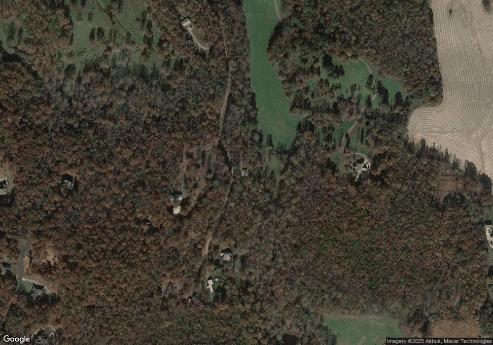
Map
Nearby Homes
- 1021 Black Rd
- 0 Black Rd Unit 7662078
- 0 Black Rd Unit 10620540
- 79 Hampton Hills Ln
- 841 Yonah Meadow Dr
- 0 Highland Forest Rd Unit TRACT "2" 10559371
- 338 Black Rd
- 22 Laurel Park Dr
- 0 Highway 115 E Unit 10627896
- 164 Leatherford Rd
- 96 Joyce Dr Unit (OFF AIRPORT ROAD)
- 0 College View Dr Unit LOT 3 10541620
- 141 Willows Ct
- 267 Pointe Willow Dr
- 31 Willows Ct
- 171 Pointe Willow Dr
- 2011 Lothridge Rd
- 37 Stone Hearth Dr
- 675 Washboard Rd
- # 47 Chimney Ln
- 228 Broadus Rd
- 385 Broadus Rd
- 388 Broadus Rd
- 0 Broadus Rd Unit 10180730
- 0 Broadus Rd Unit 7245990
- 0 Broadus Rd Unit 8068838
- 0 Broadus Rd Unit 7510793
- 0 Broadus Rd Unit 2923484
- 0 Broadus Rd Unit 9033885
- 0 Broadus Rd Unit 6930419
- 0 Broadus Rd Unit 6846458
- 0 Broadus Rd Unit 8934150
- 0 Broadus Rd
- 1110 Black Rd
- 395 Broadus Rd
- 104 Broadus Rd
- 136 Timber Ln
- 136 Timber Ln Unit 31
- 136 Timber Ln
- 1093 Black Rd