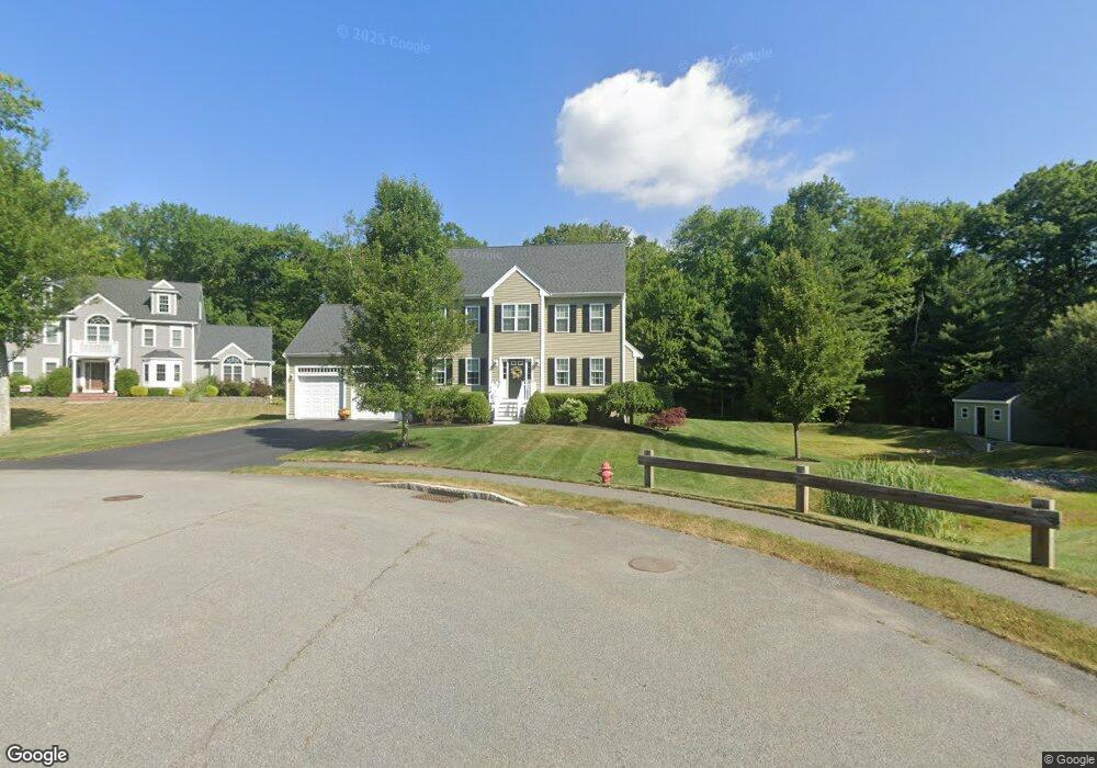
191 Captain Allen Way Whitman, MA 02382
Estimated Value: $742,000 - $825,000
3
Beds
3
Baths
2,385
Sq Ft
$334/Sq Ft
Est. Value
About This Home
This home is located at 191 Captain Allen Way, Whitman, MA 02382 and is currently estimated at $796,437, approximately $333 per square foot. 191 Captain Allen Way is a home with nearby schools including Trinity Catholic Academy, Brockton Area Seventh-Day Adventist Academy, and Cardinal Spellman High School.
Ownership History
Date
Name
Owned For
Owner Type
Purchase Details
Closed on
Sep 26, 2014
Sold by
Egan Development Llc
Bought by
Snell Barry W and Snell Erin L
Current Estimated Value
Home Financials for this Owner
Home Financials are based on the most recent Mortgage that was taken out on this home.
Original Mortgage
$403,750
Outstanding Balance
$309,761
Interest Rate
4.12%
Mortgage Type
New Conventional
Estimated Equity
$486,676
Create a Home Valuation Report for This Property
The Home Valuation Report is an in-depth analysis detailing your home's value as well as a comparison with similar homes in the area
Home Values in the Area
Average Home Value in this Area
Purchase History
| Date | Buyer | Sale Price | Title Company |
|---|---|---|---|
| Snell Barry W | $425,000 | -- |
Source: Public Records
Mortgage History
| Date | Status | Borrower | Loan Amount |
|---|---|---|---|
| Open | Snell Barry W | $403,750 |
Source: Public Records
Tax History Compared to Growth
Tax History
| Year | Tax Paid | Tax Assessment Tax Assessment Total Assessment is a certain percentage of the fair market value that is determined by local assessors to be the total taxable value of land and additions on the property. | Land | Improvement |
|---|---|---|---|---|
| 2025 | $10,101 | $769,900 | $256,700 | $513,200 |
| 2024 | $9,429 | $740,100 | $252,200 | $487,900 |
| 2023 | $8,842 | $651,600 | $219,600 | $432,000 |
| 2022 | $8,777 | $602,800 | $199,300 | $403,500 |
| 2021 | $8,530 | $550,300 | $181,300 | $369,000 |
| 2020 | $8,266 | $521,500 | $175,700 | $345,800 |
| 2019 | $7,821 | $508,500 | $175,700 | $332,800 |
| 2018 | $7,320 | $457,200 | $164,400 | $292,800 |
| 2017 | $6,895 | $457,200 | $164,400 | $292,800 |
| 2016 | $6,630 | $425,300 | $158,800 | $266,500 |
| 2015 | $6,027 | $386,100 | $158,800 | $227,300 |
Source: Public Records
Map
Nearby Homes
- 1121 Auburn St
- 26 Alger St
- 99 Alger St
- 877 Auburnville Way Unit D4
- 32 Joyce Terrace
- 104 Crestfield Dr
- 307 Homeland Dr
- 728 Auburn St Unit F6
- 262 Homeland Dr
- 93 Porter St
- 618 Auburn St
- 967 Centre St
- 485 Temple St
- 59 Sterling Rd
- 4 Locust Hill Ln
- 74 Oakland St
- 12 Paulin Ave
- 25 Plain St
- 16 Davis St
- 221 Sinclair Rd
- 190 Captain Allen Way
- 181 Captain Allen Way
- 171 Captain Allen Way
- 151 Captain Allen Way
- 270 Alger St
- 141 Captain Allen Way
- 38 Winter St
- 111 Captain Allen Way
- 306 Alger St
- 0 Winter St
- 000 Winter St
- 136 Captain Allen Way
- 121 Captain Allen Way
- 91 Captain Allen Way
- 68 Winter St
- 81 Captain Allen Way
- 120 Little Comfort Cir
- 315 Alger St
- 25 Winter St
- 120 Captain Allen Way