191 Cessna Blvd Unit 4 Port Orange, FL 32128
Samsula-Spruce Creek NeighborhoodEstimated Value: $585,937
--
Bed
1
Bath
2,750
Sq Ft
$213/Sq Ft
Est. Value
About This Home
This home is located at 191 Cessna Blvd Unit 4, Port Orange, FL 32128 and is currently estimated at $585,937, approximately $213 per square foot. 191 Cessna Blvd Unit 4 is a home located in Volusia County with nearby schools including Cypress Creek Elementary School, Creekside Middle School, and Spruce Creek High School.
Ownership History
Date
Name
Owned For
Owner Type
Purchase Details
Closed on
Dec 15, 2023
Sold by
Walter Messick Jr Revocable Trust
Bought by
Thomas L Johnson Trust and Johnson
Current Estimated Value
Purchase Details
Closed on
May 2, 2016
Sold by
Baratha Richard A
Bought by
Walter P Messick Jr Revocable Trust
Purchase Details
Closed on
Aug 23, 2010
Sold by
Us Aircraft Sales Inc
Bought by
Baratha Richard A
Purchase Details
Closed on
Jun 30, 2006
Sold by
Air Show Advertising Corp Of America
Bought by
Us Aircraftsales Inc
Purchase Details
Closed on
Mar 8, 1999
Sold by
S B W Volusia Cty L C
Bought by
Hynes Leasing Corp
Create a Home Valuation Report for This Property
The Home Valuation Report is an in-depth analysis detailing your home's value as well as a comparison with similar homes in the area
Home Values in the Area
Average Home Value in this Area
Purchase History
| Date | Buyer | Sale Price | Title Company |
|---|---|---|---|
| Thomas L Johnson Trust | $600,000 | Daytona Suncoast Title | |
| Walter P Messick Jr Revocable Trust | $495,000 | Coast Title Inc | |
| Baratha Richard A | $325,000 | Coast Title Of Volusia | |
| Us Aircraftsales Inc | $400,000 | First American Title Ins Co | |
| Hynes Leasing Corp | $157,900 | -- |
Source: Public Records
Tax History Compared to Growth
Tax History
| Year | Tax Paid | Tax Assessment Tax Assessment Total Assessment is a certain percentage of the fair market value that is determined by local assessors to be the total taxable value of land and additions on the property. | Land | Improvement |
|---|---|---|---|---|
| 2025 | $7,987 | $576,961 | $272,250 | $304,711 |
| 2024 | $7,987 | $567,236 | $272,250 | $294,986 |
| 2023 | $7,987 | $514,005 | $242,000 | $272,005 |
| 2022 | $7,551 | $490,632 | $242,000 | $248,632 |
| 2021 | $6,719 | $339,646 | $137,500 | $202,146 |
| 2020 | $6,385 | $322,228 | $137,500 | $184,728 |
| 2019 | $6,545 | $313,896 | $137,500 | $176,396 |
| 2018 | $6,494 | $305,595 | $137,500 | $168,095 |
| 2017 | $6,552 | $297,806 | $137,500 | $160,306 |
| 2016 | $6,257 | $280,111 | $0 | $0 |
| 2015 | $5,766 | $236,886 | $0 | $0 |
| 2014 | $5,368 | $228,379 | $0 | $0 |
Source: Public Records
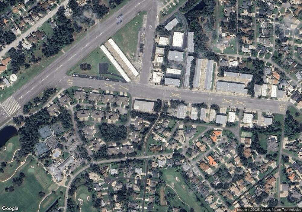
Map
Nearby Homes
- 2633 Slow Flight Dr
- 14 Taxiway Lindy
- 1882 Royal Lytham Ct
- 1889 Seclusion Dr
- 2540 Tail Spin Trail
- 1888 Seclusion Dr
- 52 Taxiway Lindy Loop
- 2536 Tail Spin Trail
- 1978 Country Club Dr
- 1795 Earhart Ct
- 56 Lazy Eight Dr
- 1787 Earhart Ct
- 1885 Silver Fern Dr Unit 15
- 1981 Rutgers Place
- 1981 Rutgers Place Unit 49
- 2584 E Spruce Creek Blvd
- 1879 Silver Fern Dr
- 1779 Earhart Ct
- 3311 Oak Vista Dr
- 3184 Royal Birkdale Way
- 191 Cessna Blvd
- 195 Cessna Blvd Unit 6
- 193 Cessna Blvd Unit 5
- 201 Cessna Blvd
- 1998 Hawks Nest Dr Unit 19
- 1854 Seclusion Dr
- 1859 Seclusion Dr Unit 2
- 1856 Seclusion Dr
- 1996 Hawks Nest Dr Unit 20
- 217 Cessna Blvd
- 205 Cessna Blvd Unit 3
- 205 Cessna Blvd
- 1861 Seclusion Dr
- 1858 Seclusion Dr
- 204 Cessna Blvd
- 1863 Seclusion Dr Unit 4
- 1999 Hawks Nest Dr Unit 18
- 1994 Hawks Nest Dr
- 2008 Cochran Ct
- 100 Aces Alley