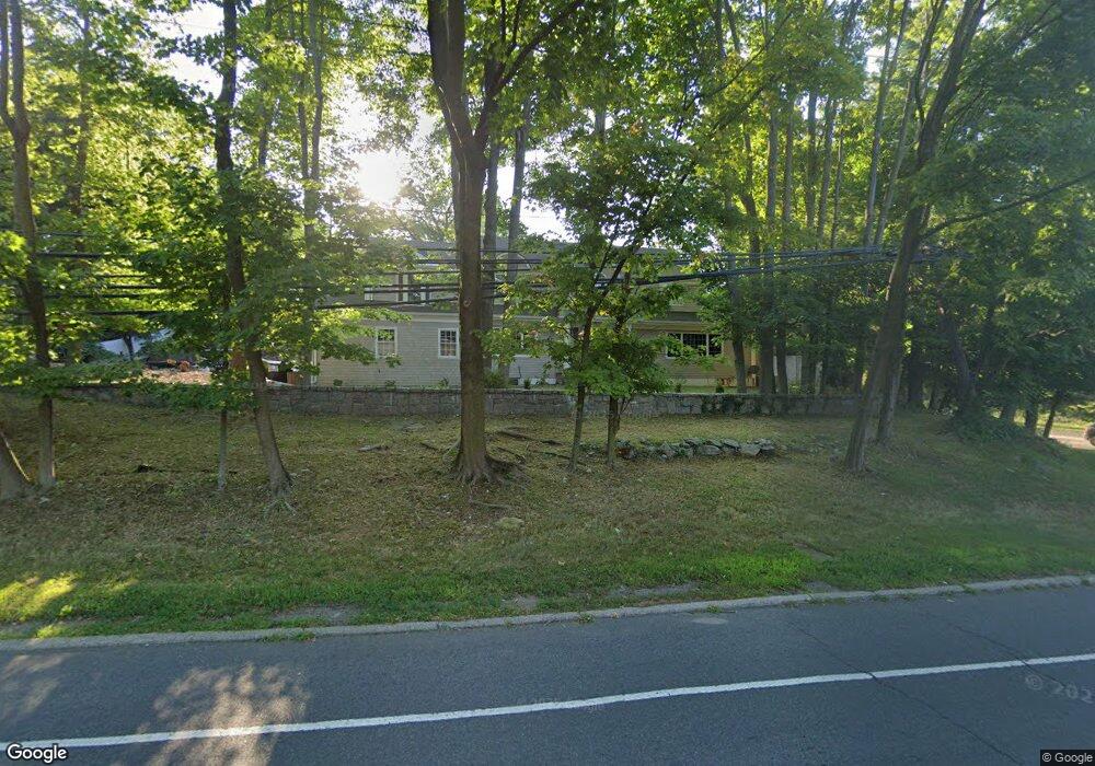
191 Compo Rd S Westport, CT 06880
Compo NeighborhoodEstimated Value: $1,389,000 - $2,353,000
3
Beds
4
Baths
3,439
Sq Ft
$556/Sq Ft
Est. Value
About This Home
This home is located at 191 Compo Rd S, Westport, CT 06880 and is currently estimated at $1,912,437, approximately $556 per square foot. 191 Compo Rd S is a home located in Fairfield County with nearby schools including Saugatuck Elementary School, Bedford Middle School, and Staples High School.
Ownership History
Date
Name
Owned For
Owner Type
Purchase Details
Closed on
Nov 1, 2011
Sold by
Lara Alfonso D
Bought by
Lisanti Giancarlo and Lisanti Guiseppina
Current Estimated Value
Home Financials for this Owner
Home Financials are based on the most recent Mortgage that was taken out on this home.
Original Mortgage
$579,915
Outstanding Balance
$404,494
Interest Rate
4.5%
Mortgage Type
FHA
Estimated Equity
$1,507,943
Purchase Details
Closed on
Jul 23, 2010
Sold by
Lisanti Carla
Bought by
Lara Alfonso D
Purchase Details
Closed on
Aug 26, 1991
Sold by
Martin John and Martin Marilyn
Bought by
Lisanti Mario and Lisanti Carla
Create a Home Valuation Report for This Property
The Home Valuation Report is an in-depth analysis detailing your home's value as well as a comparison with similar homes in the area
Home Values in the Area
Average Home Value in this Area
Purchase History
| Date | Buyer | Sale Price | Title Company |
|---|---|---|---|
| Lisanti Giancarlo | $595,000 | -- | |
| Lisanti Giancarlo | $595,000 | -- | |
| Lara Alfonso D | $450,000 | -- | |
| Lara Alfonso D | $450,000 | -- | |
| Lisanti Mario | $320,000 | -- |
Source: Public Records
Mortgage History
| Date | Status | Borrower | Loan Amount |
|---|---|---|---|
| Open | Lisanti Giancarlo | $579,915 | |
| Closed | Lisanti Mario | $97,000 | |
| Closed | Lisanti Mario | $579,915 | |
| Previous Owner | Lisanti Mario | $200,000 |
Source: Public Records
Tax History Compared to Growth
Tax History
| Year | Tax Paid | Tax Assessment Tax Assessment Total Assessment is a certain percentage of the fair market value that is determined by local assessors to be the total taxable value of land and additions on the property. | Land | Improvement |
|---|---|---|---|---|
| 2025 | $16,457 | $872,600 | $321,000 | $551,600 |
| 2024 | $16,248 | $872,600 | $321,000 | $551,600 |
| 2023 | $16,012 | $872,600 | $321,000 | $551,600 |
| 2022 | $15,768 | $872,600 | $321,000 | $551,600 |
| 2021 | $9,530 | $872,600 | $321,000 | $551,600 |
| 2020 | $15,009 | $898,200 | $338,900 | $559,300 |
| 2019 | $15,144 | $898,200 | $338,900 | $559,300 |
| 2018 | $9,138 | $842,800 | $338,900 | $503,900 |
| 2017 | $8,968 | $746,200 | $338,900 | $407,300 |
| 2016 | $12,581 | $746,200 | $338,900 | $407,300 |
| 2015 | $10,130 | $560,000 | $249,100 | $310,900 |
| 2014 | $10,046 | $560,000 | $249,100 | $310,900 |
Source: Public Records
Map
Nearby Homes
- 171 & 169 Compo Rd S
- 171 Compo Rd S
- 23 Bridge St
- 115 Valley Rd
- 5 Franklin Ave
- 3 Laurel Ln
- 11 Manitou Ct
- 29 Guyer Rd
- 39 Compo Pkwy
- 24 Compo Pkwy
- 6 Stony Point Rd
- 202 Bradley Ln Unit 202
- 26 Treadwell Ave
- 102 Compo Rd S
- 11 Sterling Dr
- 5 Hidden Hill Rd
- 5 Over Rock Ln
- 61 Edgewater Commons Ln
- 216 Hillspoint Rd
- 42 Kings Hwy S
- 4 Farnham Ct
- 2 Farnham Ct
- 190 Compo Rd S
- 188 Compo Rd S
- 192 Compo Rd S
- 5 Farnham Ct
- 44 Bridge St
- 40 Bridge St
- 186 Compo Rd S
- 3 Greens Farms Hollow
- 1 Greens Farms Hollow
- 3 Farnham Ct
- 40 Bridge St Unit lot a
- 40 Bridge St
- 2 Greens Farms Hollow
- 186A Compo Rd S
- 38 Bridge St
- 185 Compo Rd S
- 35 Bridge St Unit 112
- 35 Bridge St Unit 201