191 Cutthroat Trail Unit Lot 1 & 12 Clark, WY 82435
Estimated Value: $288,000
2
Beds
1
Bath
2,186
Sq Ft
$132/Sq Ft
Est. Value
About This Home
This home is located at 191 Cutthroat Trail Unit Lot 1 & 12, Clark, WY 82435 and is currently estimated at $288,000, approximately $131 per square foot. 191 Cutthroat Trail Unit Lot 1 & 12 is a home located in Park County with nearby schools including Clark Elementary School, Westside Elementary School, and Powell Middle School.
Ownership History
Date
Name
Owned For
Owner Type
Purchase Details
Closed on
Apr 15, 2021
Sold by
Carl Robert Nelson Revocable Living Trus and Nelson Carl Robert
Bought by
Wells Levi M and Wells Grace A
Current Estimated Value
Home Financials for this Owner
Home Financials are based on the most recent Mortgage that was taken out on this home.
Original Mortgage
$288,000
Outstanding Balance
$259,465
Interest Rate
3%
Mortgage Type
Purchase Money Mortgage
Estimated Equity
$28,535
Purchase Details
Closed on
Mar 27, 2007
Sold by
Sanctuary Llc
Bought by
Nelson Carl Robert
Create a Home Valuation Report for This Property
The Home Valuation Report is an in-depth analysis detailing your home's value as well as a comparison with similar homes in the area
Home Values in the Area
Average Home Value in this Area
Purchase History
| Date | Buyer | Sale Price | Title Company |
|---|---|---|---|
| Wells Levi M | -- | None Listed On Document | |
| Nelson Carl Robert | -- | None Available |
Source: Public Records
Mortgage History
| Date | Status | Borrower | Loan Amount |
|---|---|---|---|
| Open | Wells Levi M | $288,000 |
Source: Public Records
Tax History Compared to Growth
Tax History
| Year | Tax Paid | Tax Assessment Tax Assessment Total Assessment is a certain percentage of the fair market value that is determined by local assessors to be the total taxable value of land and additions on the property. | Land | Improvement |
|---|---|---|---|---|
| 2025 | $587 | $8,902 | $4,024 | $4,878 |
| 2024 | $837 | $12,689 | $5,233 | $7,456 |
| 2023 | $913 | $13,672 | $5,182 | $8,490 |
| 2022 | $781 | $11,590 | $3,700 | $7,890 |
| 2021 | $519 | $7,726 | $3,586 | $4,140 |
| 2020 | $540 | $8,122 | $3,572 | $4,550 |
| 2019 | $545 | $8,193 | $3,185 | $5,008 |
| 2018 | $566 | $8,526 | $3,194 | $5,332 |
| 2017 | $597 | $9,008 | $3,211 | $5,797 |
| 2016 | $636 | $9,546 | $3,226 | $6,320 |
| 2015 | $693 | $8,609 | $3,191 | $5,418 |
| 2014 | $685 | $10,437 | $3,191 | $7,246 |
Source: Public Records
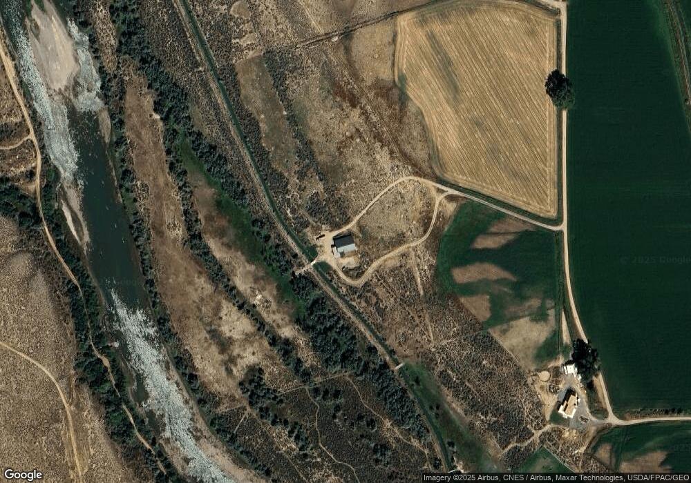
Map
Nearby Homes
- 127 Little Rock Rd
- 52 Road 8uc
- 11 Battlefield Tr
- 49 Golden Eagle Trail
- 39 Moccasin Trail
- 319 Road 1af
- 267 N Tolman Rd
- 23 Borderland Dr
- 88 & 90 Richland Tr
- TBD Woodland Tr Unit WH-89
- 33 Cumberland Rd
- Nhn Broken Trail N Unit: 944-19
- Tract 27 Ruby Creek Rd
- nhn Ruby Creek Rd
- nhn Ruby Creek Rd Unit 946-18
- 22 Broken Trail N Unit: 944-11
- Broken Trail N
- 19 Talon Trail N
- 22 Broken Trail N
- 22 Broken Trail N Unit 944-11
- 191 Cutthroat Trail
- 205 Cutthroat Trail
- Parcel 7 Cutthroat Tr
- T-B-D Cutthroat Tr
- TBD Cutthroat Tr
- Parcel 8 Cutthroat Tr
- 190 Road 8ve
- 100 Peace Way
- 118 Road 8wc
- 4 N Forty Tr
- 5 N Forty Tr
- #6 N Forty Tr
- 1 N Forty Trail
- 8 Bison Ln
- 232 Road 8wc
- 254 Road 8wc
- TBD Road 8wc
- 61 Peace Way
- 10 Antelope Trail
- 13 Bison Ln